Karakul Lake
A still lake on the Pamir plateau that mirrors Muztagh Ata, a 7,500-metre ice dome above it.
Updated 21 October 2026

AI illustration
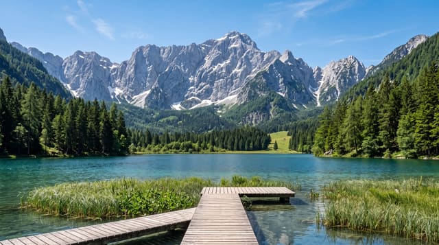
Karakul lies at about 3,600 metres beside the Karakoram Highway where the road climbs onto the Pamir plateau, and its interest is entirely in what stands above it: Muztagh Ata at over 7,500 metres, a broad ice dome rather than a spire, with Kongur Tagh nearby, both reflected in the water on the frequent still mornings. The shore is bare and treeless, grazed by yaks and camels belonging to Kyrgyz families who live in stone houses and yurts nearby and take guests. Walking the shore takes several hours, and the light on the ice changes through the day.
Highlights
- Muztagh Ata - the ice dome of over 7,500 metres above the lake.
- The reflections - the peaks mirrored on still mornings.
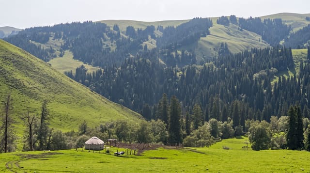
- The Kyrgyz camps - stone houses, yurts, yaks and camels on the shore.
- The shore walk - a circuit of several hours around the water.
When to go
June to September, when the highway is reliably open and nights are survivable; the lake freezes in winter and the road can close in snow. Mornings are stillest for reflections.
Practical notes
Altitude at 3,600 metres affects visitors arriving from Kashgar in a few hours. Nights are cold and yurt accommodation basic. Entry is charged, and touts at the roadside are persistent. Border-zone rules apply on this road.
Nearby
Tashkurgan lies south; Kashgar is north down the highway.
Key facts
Source: Wikidata, item Q1071180, read on 18 October 2026.
What to pack for Karakul Lake
Chosen from what this place is for. Tap a kit for the full checklist.
- Broken-in walking shoes or boots - Grip and ankle support matter more than looks; never hike in brand-new boots. Find on Amazon
- Warm base layers - Merino or synthetic against the skin - never cotton, which chills when damp. Find on Amazon
- Layers for big temperature swings - Warm sun by day, near-freezing at night, even near the equator. Find on Amazon
- Layers + a waterproof shell - Mountain weather turns fast; a packable rain jacket saves the day. Find on Amazon
Some links on this page are Amazon affiliate links - if you buy through them we may earn a small commission at no extra cost to you.
All packing kitsPlan your trip
Where to start if Karakul Lake is going on the list.
Booking links on this page are affiliate links - if you book through them we may earn a small commission at no extra cost to you. It never changes what we write about a place.
Opening times, ticket prices and seasonal closures change - check the official source before you go: official site.