Guide National Geopark
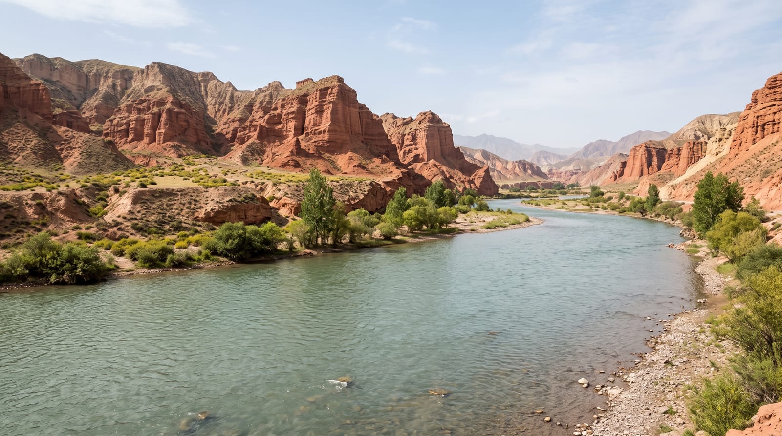
Red rock towers above a stretch where the Yellow River still runs clear before it picks up its silt.
Updated 4 September 2026
AI illustration
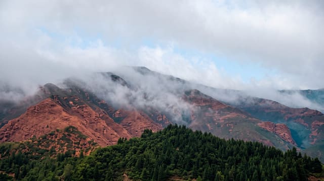
The Yellow River takes its name and colour from the loess it cuts through further east; here in Qinghai it has not reached that ground yet, and the water running past Guide is clear and green, which local signage makes a point of. Above the town, the Aspen Valley geopark holds danxia formations of red sandstone and conglomerate eroded into towers, walls and ridges rising several hundred metres, with a road and walkways climbing among them. The contrast of the clear river, green irrigated fields and pear orchards on the valley floor with the bare red rock above is the character of the place.
What's there
- The clear Yellow River - green water before the loess reaches it.
- The danxia towers - red rock formations above the valley.
- The orchards - pear and apricot on the irrigated valley floor.
- The walkways - paths and viewpoints among the formations.
When to go
May to October, with pear blossom in April and fruit in late summer; autumn is clearest. Winter is cold and some services close. Midday sun flattens the red rock colour.
Good to know
Entry plus compulsory shuttle is charged. The site is at around 2,200 metres and involves climbing. Guide is a few hours from Xining and facilities are modest.
Nearby
Kanbula lies east; Xining is north.
What to pack for Guide National Geopark
Chosen from what this place is for. Tap a kit for the full checklist.
- Broken-in walking shoes or boots - Grip and ankle support matter more than looks; never hike in brand-new boots. Find on Amazon
- Layers + a waterproof shell - Mountain weather turns fast; a packable rain jacket saves the day. Find on Amazon
- Daypack with rain cover - 20-30 litres holds water, snacks, layers and a first-aid kit. Find on Amazon
- Offline maps + a power bank - Download the trail before you lose signal; carry backup charge. Find on Amazon
Some links on this page are Amazon affiliate links - if you buy through them we may earn a small commission at no extra cost to you.
All packing kitsPlan your trip
Where to start if Guide National Geopark is going on the list.
Booking links on this page are affiliate links - if you book through them we may earn a small commission at no extra cost to you. It never changes what we write about a place.
Opening times, ticket prices and seasonal closures change - check the official source before you go: official site.