Socaire
A terraced Atacameno village at 3,500 metres, and the last stop before the high lagoons.
Updated 30 August 2026
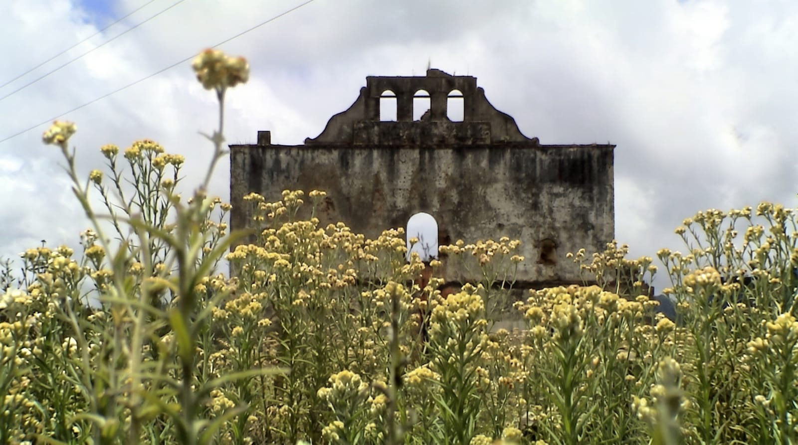
Socaire sits at about 3,500 metres on the eastern side of the Salar de Atacama with terraces stepping down the slope below it, irrigated from a stream and worked for potatoes, maize, quinoa and alfalfa - agriculture at an altitude and in a dryness that make it a considerable achievement, and one that depends on water rights the community has had to defend against mining abstraction. The church of San Bartolome is small adobe with a separate bell tower. The village is the last settlement on the road to Miscanti, Miniques and Piedras Rojas, and it administers access to those sites, so vehicles stop here.
What to look for
- Terraces at 3,500 metres - irrigated and worked for grain and potatoes.
- A small adobe church - San Bartolome, with a separate tower.
- The gate to the high lagoons - Miscanti, Miniques and Piedras Rojas.
- Water rights under pressure - from mining abstraction in the basin.
When to go
Year round; nights are cold in every season. Half a day.
Things to know
The altitude is felt. Services in the village are minimal - a few small places. Most traffic passes through on the way to the lagoons rather than stopping. Access fees to the high sites are collected here.
Nearby
Toconao is north; Miscanti and Piedras Rojas are east and above.
Key facts
Source: Wikidata, item Q7550265, read on 18 October 2026.
What to pack for Socaire
Chosen from what this place is for. Tap a kit for the full checklist.
- Reef-safe sunscreen - High SPF that will not bleach the coral you are swimming over. Find on Amazon
- Layers for big temperature swings - Warm sun by day, near-freezing at night, even near the equator. Find on Amazon
- Comfortable walking shoes - Sightseeing means kilometres of pavement and cobbles daily. Find on Amazon
- Quick-dry towel - A microfibre towel packs small and dries in minutes. Find on Amazon
Some links on this page are Amazon affiliate links - if you buy through them we may earn a small commission at no extra cost to you.
All packing kitsPlan your trip
Where to start if Socaire is going on the list.
Booking links on this page are affiliate links - if you book through them we may earn a small commission at no extra cost to you. It never changes what we write about a place.
Opening times, ticket prices and seasonal closures change - check the official source before you go: official site.