Cape Horn
The rock where the Atlantic and Pacific meet, and where the sailing route round the Americas was survived or not.
Updated 19 October 2026
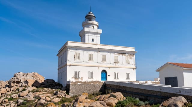
Cape Horn is the headland at the southern end of Isla Hornos, the last land of the American archipelago before the Drake Passage, and for three centuries it was the route between the oceans - a passage against prevailing westerlies, in a place where wind funnels between the Andes and the Antarctic Peninsula and waves build across the whole Southern Ocean. An enormous number of ships were lost doing it. A Chilean naval station, a chapel and a lighthouse stand on the island, along with a steel monument to the dead in the shape of an albatross, cut with a poem by Sara Vial. Landing depends entirely on the swell.
History
In 1578 storms drove Francis Drake south of Tierra del Fuego, and the open water he found suggested it was an island; on 29 January 1616 the Dutchmen Willem Schouten and Jacob Le Maire, looking for a route round the monopoly of the Dutch East India Company, sighted the cape and named it Kaap Hoorn after Schouten's home town of Hoorn. Only in 1624 was the Horn found to be on an island, and from the 18th to the early 20th century it was a milestone on the clipper routes, until the Panama Canal opened in August 1914 (Wikipedia, Cape Horn).
What's there
- The last land before the Drake Passage - where the oceans meet.
- Three centuries of the sailing route - and the ships lost on it.
- A naval station and lighthouse - with a chapel on the island.
- An albatross monument - to the sailors who did not get round.
When to go
December to February. Several days, as part of a voyage.
Things to know
Landings are cancelled far more often than they happen - swell decides. This is a several-day voyage on expensive vessels, not a day trip. Seasickness in the Drake is close to guaranteed. The site is small: it is the position that matters.
Nearby
Puerto Williams is north; the Wollaston islands lie between.
Key facts
Source: Wikidata, item Q4078, read on 18 October 2026.
What to pack for Cape Horn
Chosen from what this place is for. Tap a kit for the full checklist.
- Broken-in walking shoes or boots - Grip and ankle support matter more than looks; never hike in brand-new boots. Find on Amazon
- Layers + a waterproof shell - Mountain weather turns fast; a packable rain jacket saves the day. Find on Amazon
- Daypack with rain cover - 20-30 litres holds water, snacks, layers and a first-aid kit. Find on Amazon
- Offline maps + a power bank - Download the trail before you lose signal; carry backup charge. Find on Amazon
Some links on this page are Amazon affiliate links - if you buy through them we may earn a small commission at no extra cost to you.
All packing kitsPlan your trip
Where to start if Cape Horn is going on the list.
Booking links on this page are affiliate links - if you book through them we may earn a small commission at no extra cost to you. It never changes what we write about a place.
Opening times, ticket prices and seasonal closures change - check the official source before you go: official site.