The Bluff Lighthouse Trail
A walk along the top of the Cayman Brac bluff to a lighthouse at the eastern tip, forty-three metres above the sea with brown boobies below.
Updated 3 September 2026

AI illustration
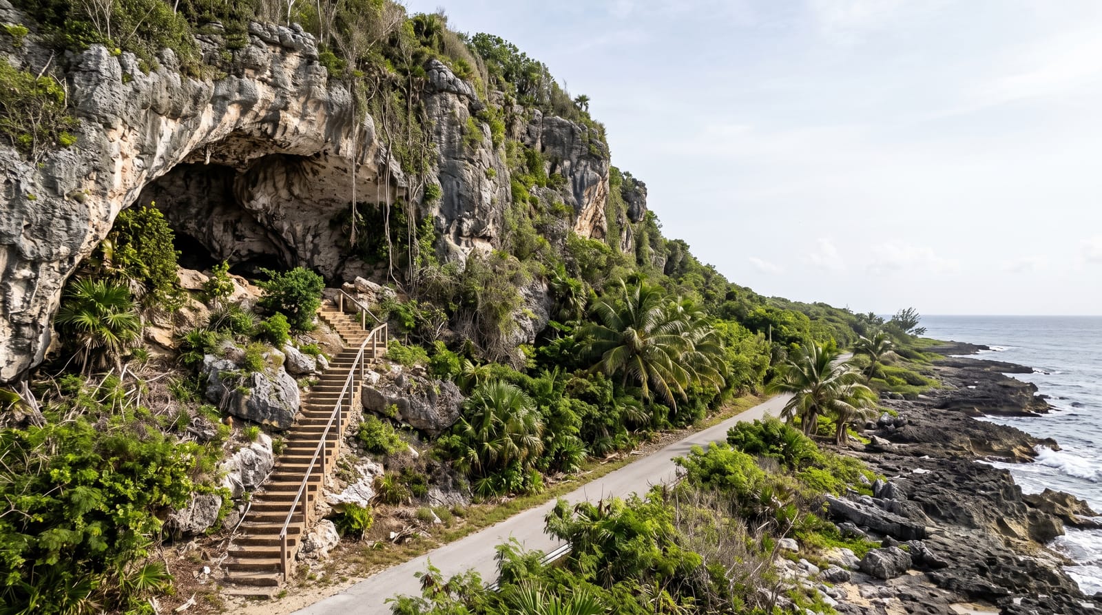
Cayman Brac is named for its bluff, a limestone ridge that runs the length of the island and rises steadily eastward to forty-three metres at the far end, which makes it the highest point in the Cayman Islands. A trail follows the clifftop out to a small lighthouse at the tip, with the sea directly below on three sides and brown boobies nesting on the ledges. On a clear day Little Cayman is visible across the channel. The ground is karst, sharp and awkward, and the whole route is exposed. It is the best walk in the islands, which is a modest field but a genuine claim.
What you'll find
- The lighthouse - at the eastern tip, forty-three metres above the sea.
- Brown boobies - nesting on the cliff ledges below the trail.
- The clifftop - sea on three sides at the end of the bluff.
- Little Cayman - visible across the channel on a clear day.
When to go
November to May is the driest and coolest. Early morning or late afternoon; the trail is fully exposed and midday is punishing. Carry water. Boobies nest on the ledges through the spring and summer.
Practical notes
The karst underfoot is jagged and shreds soft shoes; proper footwear matters. There is no shade, no water and no shelter on the route. The cliff edge is unfenced and undercut in places. Getting to Cayman Brac means a flight and a hire car, since nothing else reaches this end.
Nearby
The parrot reserve is along the bluff; Spot Bay is below on the north shore.
What to pack for The Bluff Lighthouse Trail
Chosen from what this place is for. Tap a kit for the full checklist.
- Broken-in walking shoes or boots - Grip and ankle support matter more than looks; never hike in brand-new boots. Find on Amazon
- Layers + a waterproof shell - Mountain weather turns fast; a packable rain jacket saves the day. Find on Amazon
- Daypack with rain cover - 20-30 litres holds water, snacks, layers and a first-aid kit. Find on Amazon
- Offline maps + a power bank - Download the trail before you lose signal; carry backup charge. Find on Amazon
Some links on this page are Amazon affiliate links - if you buy through them we may earn a small commission at no extra cost to you.
All packing kitsPlan your trip
Where to start if The Bluff Lighthouse Trail is going on the list.
Booking links on this page are affiliate links - if you book through them we may earn a small commission at no extra cost to you. It never changes what we write about a place.
Opening times, ticket prices and seasonal closures change - check the official source before you go: official site.