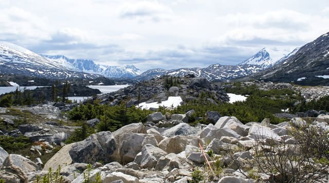
Tumbler Ridge Geopark
A coal town that became a UNESCO geopark after two boys tubing a creek found dinosaur tracks.
Updated 30 September 2026
In 2000 two boys, Mark Turner and Daniel Helm, were tubing down Flatbed Creek near Tumbler Ridge when they were tipped out and noticed marks in the rock; they turned out to be dinosaur trackways, and the find opened up a region that has since produced thousands of tracks and British Columbia's first dinosaur bonebed. The town, built in 1981 for coal and threatened with closure when the mines shut, reinvented itself around the discovery and became Canada's second UNESCO Global Geopark in 2014. Kinuseo Falls in Monkman Provincial Park drops about sixty metres, higher than Niagara.
Highlights
- The trackways - dinosaur footprints in creek beds and on rock faces.
- The Dinosaur Discovery Gallery - a museum and working fossil lab.
- Kinuseo Falls - a sixty-metre waterfall in Monkman park.
- The waterfall trails - a network of falls and canyon walks around the town.
When to go
June to September; the Kinuseo road is gravel and closed or difficult in winter. Trails are muddy in spring. The museum is open year-round with reduced winter hours.
Things to know
Getting to Kinuseo Falls means about sixty kilometres of gravel road. Some track sites are only reachable on guided tours. The town is remote with limited accommodation.
Nearby
Dawson Creek lies northeast; the Alaska Highway starts there.
What to pack for Tumbler Ridge Geopark
Chosen from what this place is for. Tap a kit for the full checklist.
- Broken-in walking shoes or boots - Grip and ankle support matter more than looks; never hike in brand-new boots. Find on Amazon
- Layers + a waterproof shell - Mountain weather turns fast; a packable rain jacket saves the day. Find on Amazon
- Daypack with rain cover - 20-30 litres holds water, snacks, layers and a first-aid kit. Find on Amazon
- Offline maps + a power bank - Download the trail before you lose signal; carry backup charge. Find on Amazon
Some links on this page are Amazon affiliate links - if you buy through them we may earn a small commission at no extra cost to you.
All packing kitsPlan your trip
Where to start if Tumbler Ridge Geopark is going on the list.
Booking links on this page are affiliate links - if you book through them we may earn a small commission at no extra cost to you. It never changes what we write about a place.
Opening times, ticket prices and seasonal closures change - check the official source before you go: official site.