Tuktoyaktuk
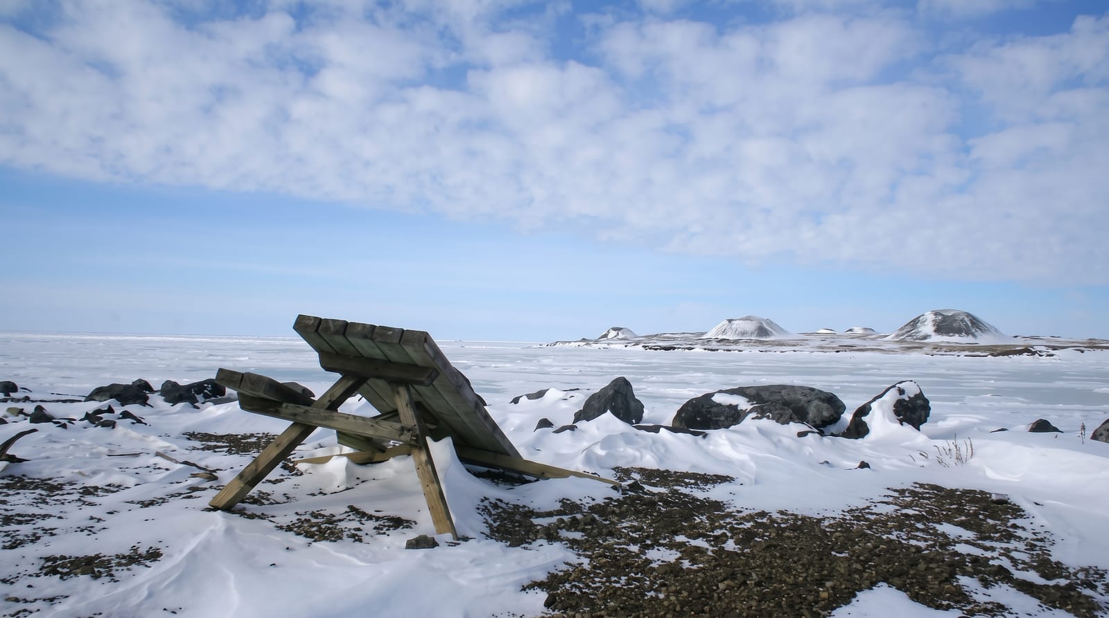
An Arctic Ocean hamlet surrounded by pingos, ice-cored hills that grow out of the tundra.
Updated 19 October 2026
AI illustration
Tuktoyaktuk is an Inuvialuit hamlet on the Beaufort Sea, and until 2017 the only land access was a winter ice road; the all-season gravel highway opened that November and made it the first place in Canada where you can drive to the Arctic Ocean. Around the hamlet stand pingos, hills with cores of solid ice that form when a drained lake bed freezes and pushes ground upward; the Tuktoyaktuk area holds roughly thirteen hundred of them, one of the densest concentrations on earth, and Ibyuk Pingo at about forty-nine metres is the tallest in Canada. Eight are protected as a national landmark.
History
The name is the anglicised form of an Inuvialuit place name meaning resembling a caribou, after a legend of caribou that waded into the water and turned to stone, and the Inuvialuit have used the place for centuries to harvest caribou and beluga. The Hudson's Bay Company had a trading post here by 1937, the settlement, known as Port Brabant, became in 1950 the first Indigenous community in Canada to take back its traditional name, and it later became a base for oil and gas exploration in the Beaufort Sea; work on the highway from Inuvik began on 8 January 2014 and it opened on 15 November 2017 (Wikipedia, Tuktoyaktuk).
What's there
- The pingos - ice-cored hills, including Ibyuk at forty-nine metres.
- The Arctic Ocean - the first Canadian coast reachable by road.
- The Inuvialuit community - a hamlet with a working subsistence economy.
- The dip tradition - visitors swimming in the Beaufort Sea, briefly.
When to go
June to September for the highway in reasonable condition and the midnight sun; the road is open year-round but winter driving is serious. Pingos are visible from the road and reached by boat or a boggy walk.
What to expect
The highway is gravel and hard on vehicles and tyres. Services in the hamlet are minimal and expensive. The pingo walk crosses wet tundra and needs a guide or boat.
Nearby
Inuvik lies south down the highway; the Beaufort Sea is at the door.
Key facts
Source: Wikidata, item Q719547, read on 18 October 2026.
What to pack for Tuktoyaktuk
Chosen from what this place is for. Tap a kit for the full checklist.
- Reef-safe sunscreen - High SPF that will not bleach the coral you are swimming over. Find on Amazon
- Spare batteries + cards - Cold and long shoots drain power; never run out at the good light. Find on Amazon
- Warm base layers - Merino or synthetic against the skin - never cotton, which chills when damp. Find on Amazon
- Comfortable walking shoes - Sightseeing means kilometres of pavement and cobbles daily. Find on Amazon
Some links on this page are Amazon affiliate links - if you buy through them we may earn a small commission at no extra cost to you.
All packing kitsPlan your trip
Where to start if Tuktoyaktuk is going on the list.
Booking links on this page are affiliate links - if you book through them we may earn a small commission at no extra cost to you. It never changes what we write about a place.
Opening times, ticket prices and seasonal closures change - check the official source before you go: official site.