Skerwink Trail
A five-kilometre loop over sea stacks and cliffs, on a headland once used to dry cod on the rocks.
Updated 4 September 2026
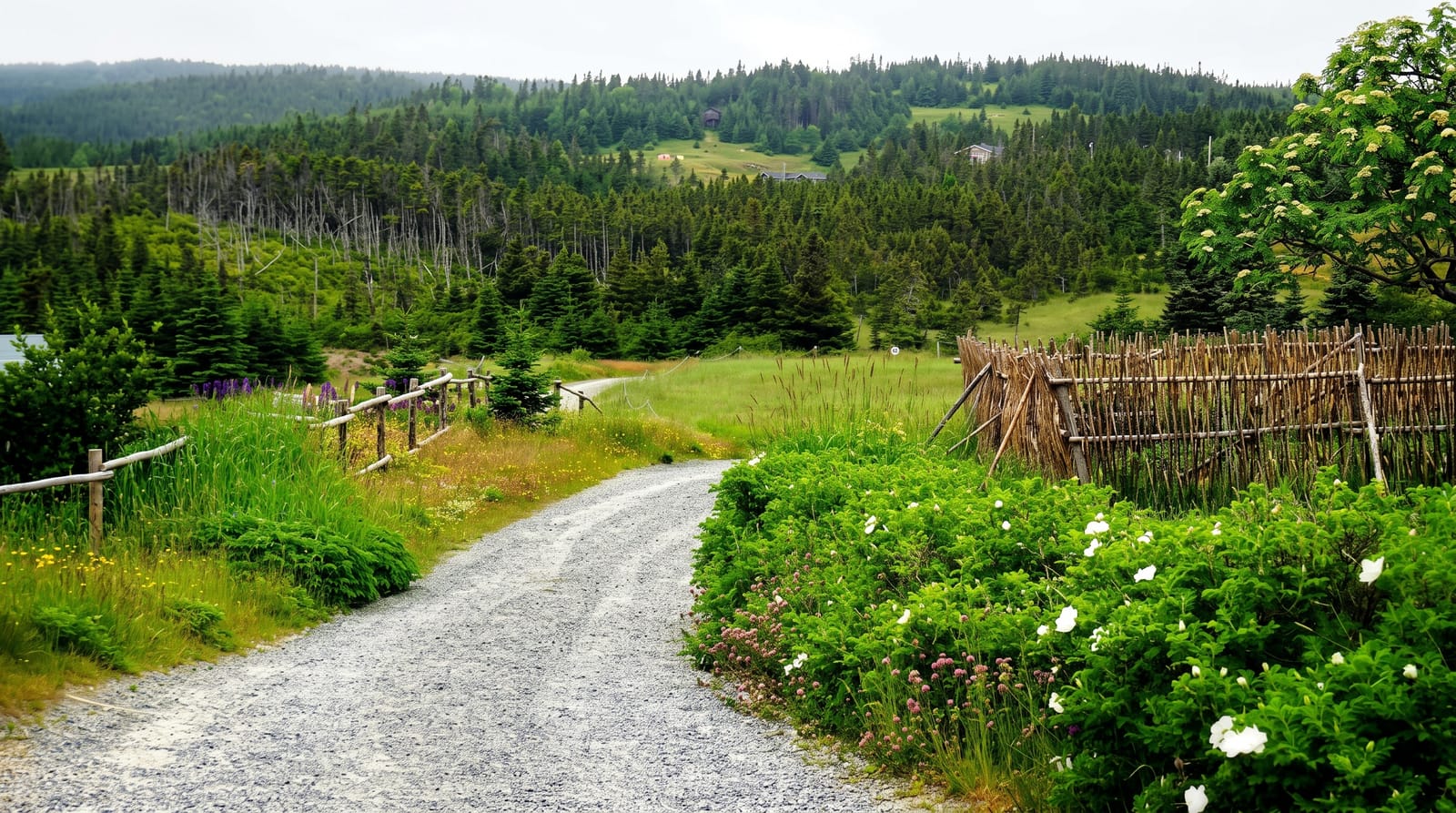
AI illustration
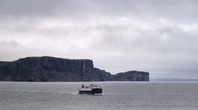
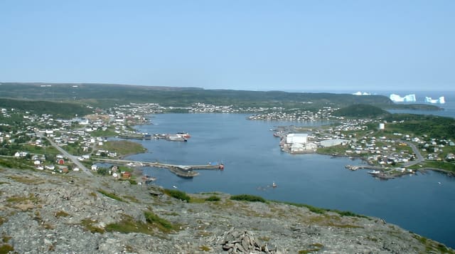
The Skerwink runs about five kilometres in a loop from Port Rexton around a headland, and it delivers a concentration of coastal features unusual for its length: sea stacks standing offshore, arches, cliffs, coves and views back to Trinity across the bight. It has appeared on international lists of notable coastal walks. Whales are often visible from the cliff sections in summer when the capelin are in, and icebergs drift past in late spring. The name comes from the skerwink, a local word for the shearwater. The trail is maintained by volunteers and has boardwalk and stairs on the steeper sections.
What's there
- The sea stacks - rock towers standing off the headland.
- The whales - humpbacks visible from the cliffs when capelin are inshore.
- The icebergs - drifting past in late spring in some years.
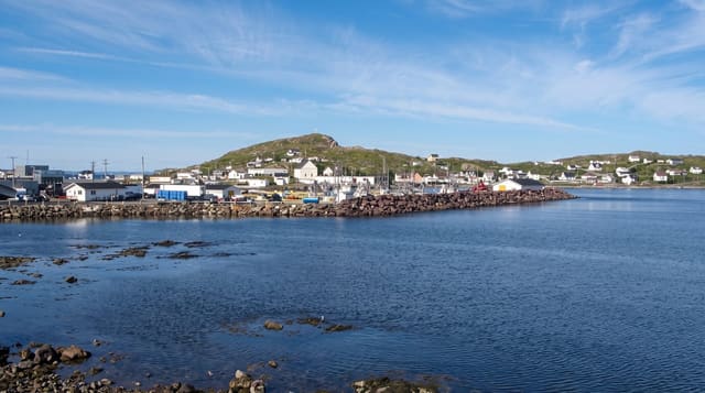
- The Trinity view - the village across the bight from the far side.
When to go
June to September for the walk in good conditions; late spring for icebergs, July for whales. Fog is frequent and can remove the views entirely. Winter is icy and unmaintained.
What to expect
The loop has steep sections and stairs and takes two to three hours at a reasonable pace. Cliff edges are unfenced. Fog can make the whole walk pointless.
Nearby
Trinity lies south; Bonavista is north.
What to pack for Skerwink Trail
Chosen from what this place is for. Tap a kit for the full checklist.
- Broken-in walking shoes or boots - Grip and ankle support matter more than looks; never hike in brand-new boots. Find on Amazon
- Binoculars - The single best wildlife tool - even a compact pair transforms a sighting. Find on Amazon
- Warm base layers - Merino or synthetic against the skin - never cotton, which chills when damp. Find on Amazon
- Comfortable walking shoes - Sightseeing means kilometres of pavement and cobbles daily. Find on Amazon
Some links on this page are Amazon affiliate links - if you buy through them we may earn a small commission at no extra cost to you.
All packing kitsPlan your trip
Where to start if Skerwink Trail is going on the list.
Booking links on this page are affiliate links - if you book through them we may earn a small commission at no extra cost to you. It never changes what we write about a place.
Opening times, ticket prices and seasonal closures change - check the official source before you go: official site.