Quetico Provincial Park
A paddle-only wilderness of six hundred lakes, with no motors, no roads and pictographs on the cliffs.
Updated 19 October 2026
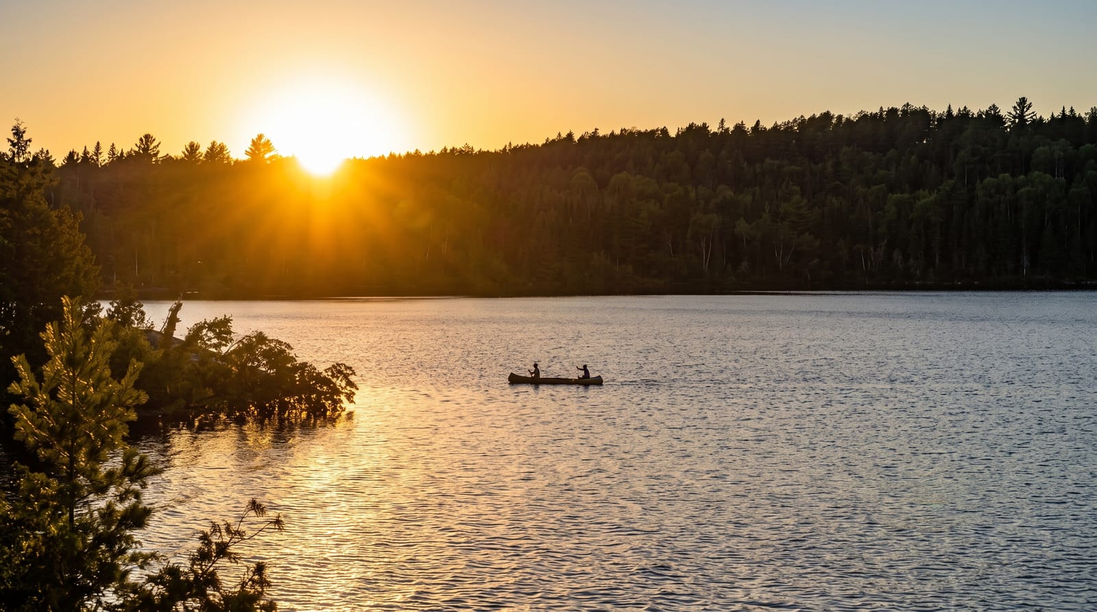
AI illustration
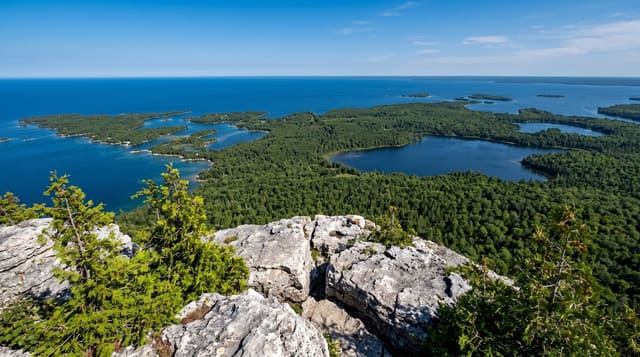
Quetico covers around four thousand seven hundred square kilometres of Shield country with about six hundred lakes, and it is managed as wilderness: no motors, no roads, no permanent facilities, no marked campsites in most of it, and a daily entry quota by access point. It adjoins the Boundary Waters Canoe Area in Minnesota, together forming one of the largest protected canoe wildernesses on earth. Anishinaabe pictographs in red ochre are found on cliff faces at several lakes. Portages are cleared but unimproved. Fishing is barbless and largely catch-and-release, and cans and bottles are prohibited.
History
People of the Paleo-Indian culture lived in this country around 8000 BC, and rock art such as a canoe pictograph at Agnes Lake survives from early times. Ontario established the Quetico Forest Reserve in 1909, the same year the United States created the neighbouring Superior National Forest, and Quetico became a provincial park in 1913; road access came only in 1954, logging was stopped entirely in 1971, and motor vehicles, boats included, were banned in 1979 (Wikipedia, Quetico Provincial Park).
What's there
- The paddle-only wilderness - no motors, roads or developed sites.
- The pictographs - ochre rock paintings on lakeside cliffs.
- The six hundred lakes - a connected network crossed by portages.
- The Boundary Waters link - a joint wilderness spanning the border.
When to go
June to September; ice comes off in May and returns in November. Blackflies peak in June, mosquitoes in July. Quotas mean permits for popular entry points book out well ahead.
Practical notes
Entry permits are quota-limited and must be reserved. There are no facilities of any kind and rescue is slow. Cans, bottles and motors are prohibited and enforced. Navigation is by map and compass.
Nearby
Atikokan is the gateway; Lake of the Woods lies west.
Key facts
Source: Wikidata, item Q3364685, read on 18 October 2026.
What to pack for Quetico Provincial Park
Chosen from what this place is for. Tap a kit for the full checklist.
- Broken-in walking shoes or boots - Grip and ankle support matter more than looks; never hike in brand-new boots. Find on Amazon
- Travel rod + reel - A packable multi-piece rod fits in a case and covers most holiday fishing. Find on Amazon
- Quick-dry clothing - Board shorts or synthetics that shrug off spray and dry fast. Find on Amazon
- Shelter suited to the place - Tent, tarp or hut booking - match it to the terrain and rules. Find on Amazon
Some links on this page are Amazon affiliate links - if you buy through them we may earn a small commission at no extra cost to you.
All packing kitsPlan your trip
Where to start if Quetico Provincial Park is going on the list.
Booking links on this page are affiliate links - if you book through them we may earn a small commission at no extra cost to you. It never changes what we write about a place.
Opening times, ticket prices and seasonal closures change - check the official source before you go: official site.