Muncho Lake
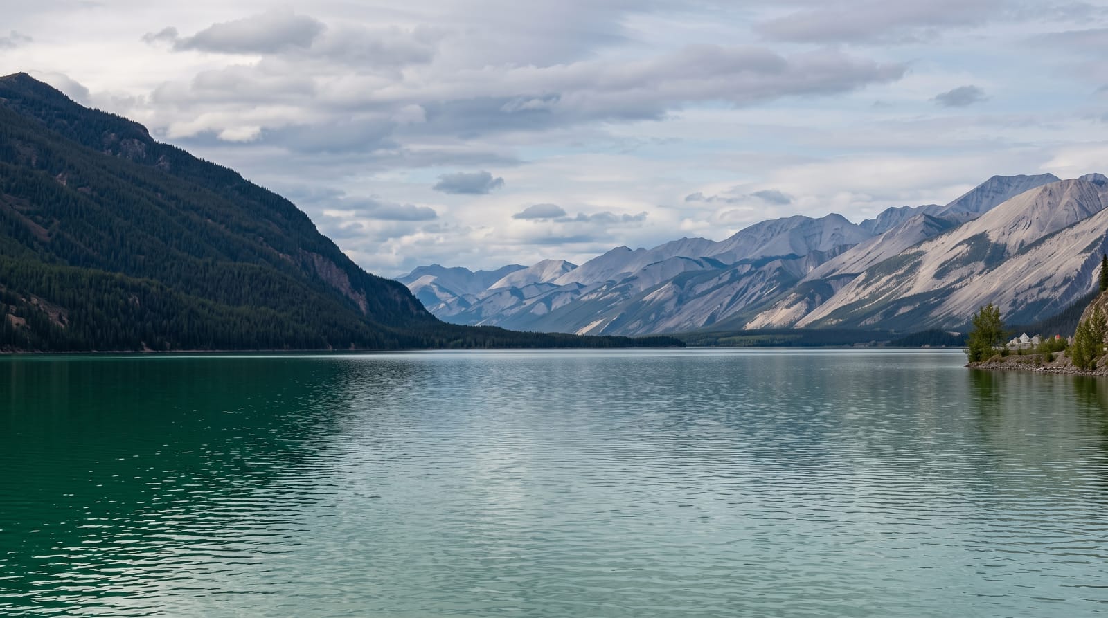
A jade-green lake beside the Alaska Highway, coloured by copper leaching out of the bedrock.
Updated 12 October 2026
AI illustration
Muncho Lake runs about twelve kilometres along the highway in the northern Rockies, and its strong jade-green comes from copper oxide leaching from the bedrock into the water. The Alaska Highway was pushed along the shore in 1942, blasted into the rock face, and the road still runs at the water's edge with the mountains rising directly behind. The mineral licks along this stretch draw stone sheep and caribou down to the roadside, particularly in early summer, and this is one of the more reliable places in Canada to see stone sheep. Moose, bison and bears are regular along the same highway section.
The landscape
- The jade water - green from copper oxide in the bedrock.
- The highway on the shore - the 1942 road blasted along the lakeside.
- The mineral licks - stone sheep and caribou coming to the roadside.
- The northern Rockies - peaks rising straight from the water.
When to go
June to September for services and wildlife at the licks; the highway is open year-round but winter driving here is serious and services close. Wildlife is most visible early summer.
Before you go
Services along this stretch are hundreds of kilometres apart and fuel prices are high. Wildlife on the road is a genuine collision risk, particularly at dusk. Cell coverage is absent.
Nearby
Liard River Hot Springs lies north; the Yukon border is northwest.
Key facts
Source: Wikidata, item Q1669059, read on 18 October 2026.
What to pack for Muncho Lake
Chosen from what this place is for. Tap a kit for the full checklist.
- Reef-safe sunscreen - High SPF that will not bleach the coral you are swimming over. Find on Amazon
- Binoculars - The single best wildlife tool - even a compact pair transforms a sighting. Find on Amazon
- Swimwear - Needed at most public thermal pools; some traditional baths are nude and single-sex. Find on Amazon
- Quick-dry towel - A microfibre towel packs small and dries in minutes. Find on Amazon
Some links on this page are Amazon affiliate links - if you buy through them we may earn a small commission at no extra cost to you.
All packing kitsPlan your trip
Where to start if Muncho Lake is going on the list.
Booking links on this page are affiliate links - if you book through them we may earn a small commission at no extra cost to you. It never changes what we write about a place.
Opening times, ticket prices and seasonal closures change - check the official source before you go: official site.