Jacques-Cartier National Park
A glacial valley five hundred metres deep half an hour from Quebec City, paddled on flat water below cliffs.
Updated 19 October 2026
AI illustration
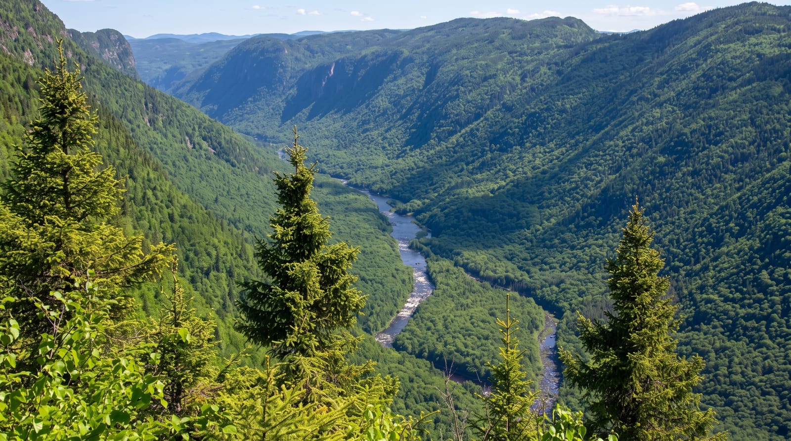
The Jacques-Cartier river runs through a valley cut about five hundred and fifty metres into the Laurentian plateau, one of the deepest in eastern Canada, and the striking part is proximity: it is half an hour from Quebec City. The river below the main viewpoints is flat enough to paddle in an open canoe or on a raft, with steep forested walls rising directly on both sides, so beginners get scenery usually reserved for expeditions. Moose are common in the valley. Autumn colour on the slopes peaks in late September and early October, and the park is one of the more reliable places in Quebec for it.
History
The Innu and the Wendat lived on these lands, and in the 17th century Huron guides led Jesuits through them between Quebec City and Lac Saint-Jean without using the St. Lawrence. From the mid-19th century the area produced large amounts of lumber, and in 1895 the Laurentian Wildlife Reserve was created; a 1972 Hydro-Québec plan to dam the river and flood the valley was dropped under public pressure in 1975, the year logging ended, and in 1981 the park was formed from the southernmost lands of the reserve (Wikipedia, Jacques-Cartier National Park).
Highlights
- The glacial valley - walls rising five hundred metres from the water.
- The flat-water paddle - canoe and raft trips under the cliffs.
- The moose - a substantial population in the valley bottom.
- The autumn colour - peak foliage in late September and early October.
When to go
June to October; canoe and raft rentals run in summer, and autumn colour peaks late September. The park stays open in winter for snowshoeing and skiing, with reduced access.
What to expect
Canoe rentals and shuttles book out on summer weekends. The road in is winding. Autumn colour weekends bring heavy traffic from Quebec City.
Nearby
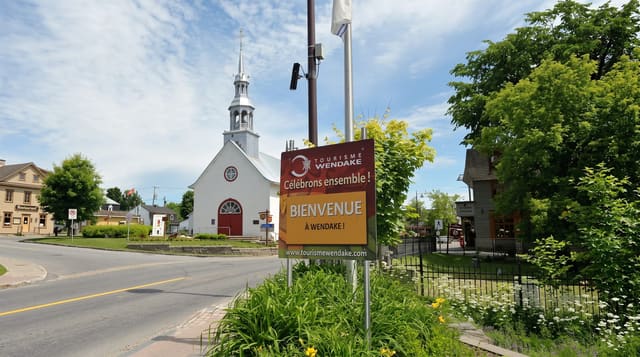
Quebec City lies south; Wendake is between them.
Key facts
Source: Wikidata, item Q1631583, read on 18 October 2026.
What to pack for Jacques-Cartier National Park
Chosen from what this place is for. Tap a kit for the full checklist.
- Broken-in walking shoes or boots - Grip and ankle support matter more than looks; never hike in brand-new boots. Find on Amazon
- Quick-dry clothing - Board shorts or synthetics that shrug off spray and dry fast. Find on Amazon
- Binoculars - The single best wildlife tool - even a compact pair transforms a sighting. Find on Amazon
- Shelter suited to the place - Tent, tarp or hut booking - match it to the terrain and rules. Find on Amazon
Some links on this page are Amazon affiliate links - if you buy through them we may earn a small commission at no extra cost to you.
All packing kitsPlan your trip
Where to start if Jacques-Cartier National Park is going on the list.
Booking links on this page are affiliate links - if you book through them we may earn a small commission at no extra cost to you. It never changes what we write about a place.
Opening times, ticket prices and seasonal closures change - check the official source before you go: official site.