Golden Ears Provincial Park
A large park named for twin peaks that catch the last light, with a long glacier-fed lake below them.
Updated 18 October 2026
AI illustration
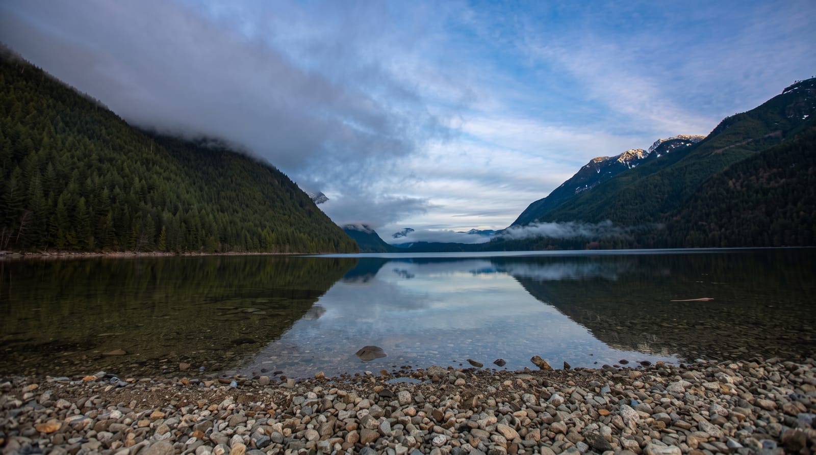
The park covers around sixty-two thousand hectares of the Coast Mountains and takes its name from the twin summits of Golden Ears, which catch a gold colour in low evening light. Alouette Lake fills the valley, a long reservoir fed by glaciers and consequently cold even in August, with a sandy day-use beach at the south end. Trails range from short walks to Gold Creek Falls up to the Golden Ears summit route, a demanding overnight climb of about fifteen hundred metres. The forest is second growth over the remains of a 1920s logging operation, and old rail grades and cable are still visible along some trails.
History
The park takes its name from the twin peaks of Mount Blanshard. The Lougheed and Abernathy Logging Company logged the area heavily in the 1920s, and in 1933 it was added to Garibaldi Provincial Park, set up in 1927, for its scenery and recreation. It became a separate park in 1967, which put more weight on recreation around Alouette Lake, and as new highways made it easier to reach, camping here grew in popularity (Wikipedia, Golden Ears Provincial Park).
The landscape
- The twin summits - Golden Ears turning gold in evening light.
- Alouette Lake - a long cold reservoir with a sandy day-use beach.
- Gold Creek Falls - an easy walk to a waterfall in the forest.
- The logging traces - rail grades and cable left from 1920s operations.
When to go
June to September; the summit route holds snow into July. The day-use area fills to capacity on hot weekends and the gates close when full. Camping books out months ahead.
Things to know
The park closes its gates when the day-use lots fill, often by mid-morning on hot weekends. Alouette Lake is glacier-fed and genuinely cold. The Golden Ears summit is a serious climb, not a day walk for most.
Nearby
Fort Langley lies south; Maple Ridge is the gateway town.
Key facts
Source: Wikidata, item Q1534860, read on 18 October 2026.
What to pack for Golden Ears Provincial Park
Chosen from what this place is for. Tap a kit for the full checklist.
- Broken-in walking shoes or boots - Grip and ankle support matter more than looks; never hike in brand-new boots. Find on Amazon
- Warm base layers - Merino or synthetic against the skin - never cotton, which chills when damp. Find on Amazon
- Shelter suited to the place - Tent, tarp or hut booking - match it to the terrain and rules. Find on Amazon
- Layers + a waterproof shell - Mountain weather turns fast; a packable rain jacket saves the day. Find on Amazon
Some links on this page are Amazon affiliate links - if you buy through them we may earn a small commission at no extra cost to you.
All packing kitsPlan your trip
Where to start if Golden Ears Provincial Park is going on the list.
Booking links on this page are affiliate links - if you book through them we may earn a small commission at no extra cost to you. It never changes what we write about a place.
Opening times, ticket prices and seasonal closures change - check the official source before you go: official site.