French River
The main canoe highway of the fur trade for two centuries, Canada's first designated Heritage River.
Updated 4 September 2026
AI illustration
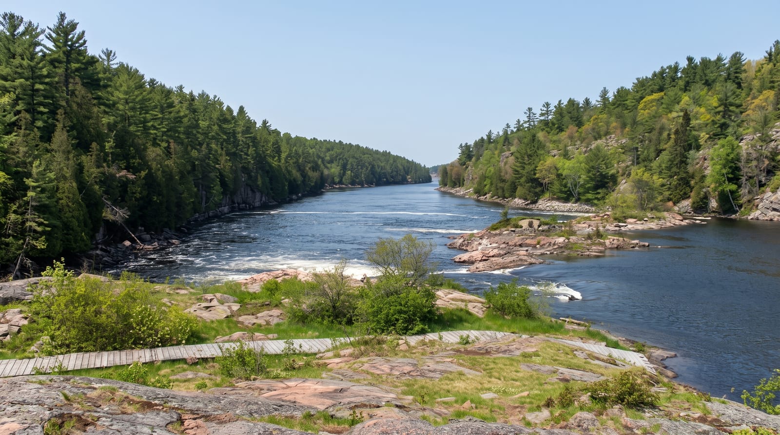
The French River links Lake Nipissing to Georgian Bay and formed the central link in the canoe route from Montreal to the interior; Champlain passed in 1615, and for two hundred years voyageur brigades carrying trade goods west and furs east used it as the main highway of the continent. It was named Canada's first Canadian Heritage River in 1986. The river runs through a granite gorge with rapids and a delta of multiple channels at the Georgian Bay end. A visitor centre on the highway bridge covers the fur trade and the Anishinaabe presence that long predated it, and the river is paddled in sections or end to end.
What's there
- The granite gorge - Shield rock walls with rapids and pools.
- The voyageur route - the canoe highway used for two centuries.
- The delta - multiple channels spreading into Georgian Bay.
- The visitor centre - the trade history and Anishinaabe context on the bridge.
When to go
June to September for paddling; blackflies are severe in June. Water levels drop through summer. Winter access is by snowmobile and the outfitters close.
What to expect
Paddling requires portages around rapids and reading water. There is no road access to most of the river. Outfitters and shuttles need booking ahead.
Nearby
Killbear lies south; Sudbury is north.
What to pack for French River
Chosen from what this place is for. Tap a kit for the full checklist.
- Broken-in walking shoes or boots - Grip and ankle support matter more than looks; never hike in brand-new boots. Find on Amazon
- Quick-dry clothing - Board shorts or synthetics that shrug off spray and dry fast. Find on Amazon
- Layers + a waterproof shell - Mountain weather turns fast; a packable rain jacket saves the day. Find on Amazon
- Secure water shoes or reef boots - Grip on slippery launches and protection on rocky shores. Find on Amazon
Some links on this page are Amazon affiliate links - if you buy through them we may earn a small commission at no extra cost to you.
All packing kitsPlan your trip
Where to start if French River is going on the list.
Booking links on this page are affiliate links - if you book through them we may earn a small commission at no extra cost to you. It never changes what we write about a place.
Opening times, ticket prices and seasonal closures change - check the official source before you go: official site.