E.C. Manning Provincial Park
A park on the Cascade crest where alpine larch turn gold in late September and a road reaches the meadows.
Updated 19 October 2026
AI illustration
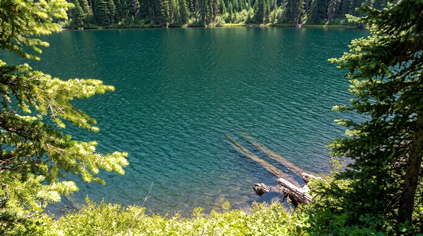
Manning Park straddles the Cascade crest on Highway 3 and its distinction is access: a paved road climbs to Blackwall Peak at around two thousand metres, so the subalpine meadows are reachable by car rather than by a day's climb. They flower from mid-July into August with lupine, paintbrush and valerian. In late September the alpine larch turn gold, a short window that draws photographers, since larch is the one conifer here that sheds its needles. The Pacific Crest Trail crosses the park at its southern boundary, entering Canada from Washington. Lightning Lake at the valley floor has a flat loop walk.
History
The earliest use of the land was by Coastal peoples, who travelled the route of today's Skyline Trail to reach the Upper Similkameen Valley, and the area was explored and mapped in 1827 by Archibald McDonald; the Allison Pass Trail was built through it in 1859-1860. The park began in 1931 as the Three Brothers Mountain Reserve, to prevent overgrazing, became a game reserve in 1936 and a Class A provincial park in 1941, and it is named in memory of Ernest Callaway Manning, Chief Forester of British Columbia from 1936 to 1941, who championed setting land aside for future generations and died in an airplane accident in 1941 (Wikipedia, E. C. Manning Provincial Park).
What you'll find
- The Meadows road - a paved climb to subalpine flower meadows.
- The golden larch - alpine larch turning in late September.
- Lightning Lake - a flat lakeside loop on the valley floor.
- The Pacific Crest Trail - the northern terminus area of the long-distance route.
When to go
Mid-July to August for flowers; late September for larch, a window of about two weeks that shifts each year. The Meadows road closes with snow, roughly October to June.
Things to know
The Meadows road is closed for most of the year. Larch colour timing varies and the road can close before it peaks in an early winter. Highway 3 is a busy truck route.
Nearby
Hope lies west; the Okanagan is east.
Key facts
Source: Wikidata, item Q953516, read on 18 October 2026.
What to pack for E.C. Manning Provincial Park
Chosen from what this place is for. Tap a kit for the full checklist.
- Broken-in walking shoes or boots - Grip and ankle support matter more than looks; never hike in brand-new boots. Find on Amazon
- Warm base layers - Merino or synthetic against the skin - never cotton, which chills when damp. Find on Amazon
- Layers + a waterproof shell - Mountain weather turns fast; a packable rain jacket saves the day. Find on Amazon
- An insulated + windproof jacket - A down or synthetic layer under a hard shell handles most cold. Find on Amazon
Some links on this page are Amazon affiliate links - if you buy through them we may earn a small commission at no extra cost to you.
All packing kitsPlan your trip
Where to start if E.C. Manning Provincial Park is going on the list.
Booking links on this page are affiliate links - if you book through them we may earn a small commission at no extra cost to you. It never changes what we write about a place.
Opening times, ticket prices and seasonal closures change - check the official source before you go: official site.