Confederation Trail
A tip-to-tip rail trail across the whole island, on a railway whose curves were said to be paid by the mile.
Updated 4 September 2026
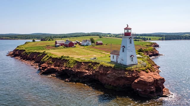
AI illustration
The Prince Edward Island Railway was built from 1871 and became notorious for its route: contractors were paid by the mile, and the line wandered around the island in a series of curves and detours that made it far longer than the distance required, a debt that helped push the colony into Confederation in 1873. Rail service ended in 1989 and the corridor became a trail, running two hundred and seventy-three kilometres from Tignish to Elmira with branches, surfaced in rolled stone dust and almost flat throughout since the grade never exceeds two per cent. Old stations along it serve as shelters and information points.
What you'll find
- The tip-to-tip route - 273 kilometres from one end of the island to the other.
- The gentle grade - a railway alignment never steeper than two per cent.
- The old stations - depots converted to shelters and interpretation.
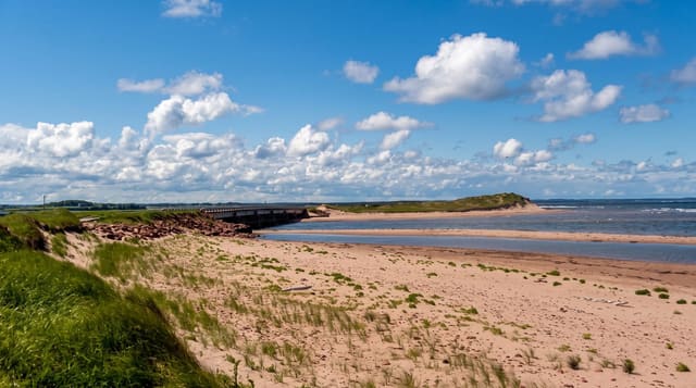
- The farmland and shore - potato fields, woodlots and coastal glimpses.
When to go
June to October for cycling and walking; the trail becomes a groomed snowmobile route in winter, which rules out other use on those sections. Autumn colour is good.
Good to know
The trail is groomed for snowmobiles in winter and shared accordingly. Services along it are in the villages, sometimes kilometres apart. It is flat but long and exposed to wind.
Nearby
Charlottetown is on a branch; Basin Head lies near the eastern end.
What to pack for Confederation Trail
Chosen from what this place is for. Tap a kit for the full checklist.
- Broken-in walking shoes or boots - Grip and ankle support matter more than looks; never hike in brand-new boots. Find on Amazon
- Padded shorts - The one thing that makes a full day in the saddle bearable. Find on Amazon
- Comfortable walking shoes - Sightseeing means kilometres of pavement and cobbles daily. Find on Amazon
- Layers + a waterproof shell - Mountain weather turns fast; a packable rain jacket saves the day. Find on Amazon
Some links on this page are Amazon affiliate links - if you buy through them we may earn a small commission at no extra cost to you.
All packing kitsPlan your trip
Where to start if Confederation Trail is going on the list.
Booking links on this page are affiliate links - if you book through them we may earn a small commission at no extra cost to you. It never changes what we write about a place.
Opening times, ticket prices and seasonal closures change - check the official source before you go: official site.