Bras d'Or Lake
A brackish inland sea filling the middle of Cape Breton, held as a UNESCO biosphere reserve.
Updated 21 October 2026
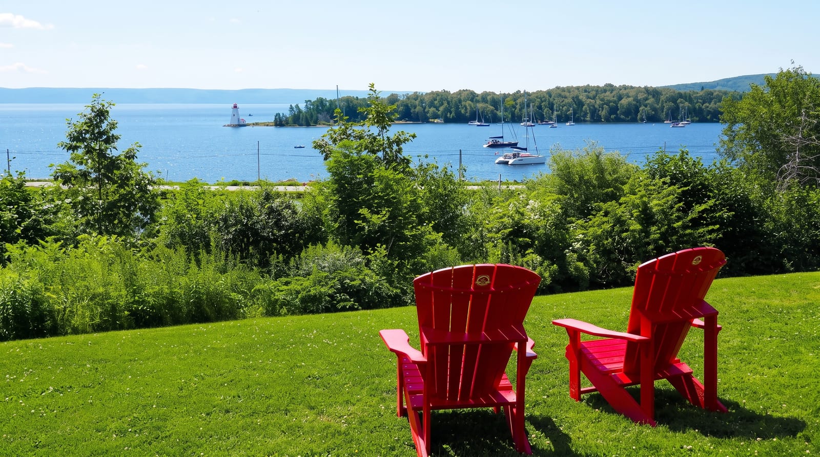
AI illustration
Bras d'Or occupies roughly a thousand square kilometres in the middle of Cape Breton, connected to the Atlantic by narrow channels at the northern end and by a canal at St. Peter's in the south, which makes it brackish: saltier than a lake, fresher than the sea, and stratified in a way that supports an unusual mix of species. Bald eagles nest around its shores. Mi'kmaq communities, Eskasoni among them, sit on its shores, and the Mi'kmaq name Pitu'paq means the long salt water. UNESCO designated the whole basin a Biosphere Reserve in 2011.
The landscape
- The brackish inland sea - a thousand square kilometres of part-salt water.
- The eagle population - bald eagles nesting around the shores.
- The Mi'kmaq communities - First Nations on the shores with cultural sites.
- The St. Peter's Canal - a working lock linking lake to Atlantic since 1869.
When to go
June to October for boating and the shore roads; eagles are visible year-round and concentrate in winter. Autumn colour around the lake is strong.
Good to know
The lake is large and the shore roads are long, so circling it takes a full day of driving. Services are spread out. The water is cool for swimming.
Nearby
Baddeck sits on the shore; the Cabot Trail runs north.
Key facts
Source: Wikidata, item Q898989, read on 18 October 2026.
What to pack for Bras d'Or Lake
Chosen from what this place is for. Tap a kit for the full checklist.
- Broken-in walking shoes or boots - Grip and ankle support matter more than looks; never hike in brand-new boots. Find on Amazon
- Reef-safe sunscreen - High SPF that will not bleach the coral you are swimming over. Find on Amazon
- Layers + a waterproof shell - Mountain weather turns fast; a packable rain jacket saves the day. Find on Amazon
- Quick-dry towel - A microfibre towel packs small and dries in minutes. Find on Amazon
Some links on this page are Amazon affiliate links - if you buy through them we may earn a small commission at no extra cost to you.
All packing kitsPlan your trip
Where to start if Bras d'Or Lake is going on the list.
Booking links on this page are affiliate links - if you book through them we may earn a small commission at no extra cost to you. It never changes what we write about a place.
Opening times, ticket prices and seasonal closures change - check the official source before you go: official site.