Mandara Mountains
A volcanic range on the Nigerian border with terraced villages and standing rock spires.
Updated 21 October 2026
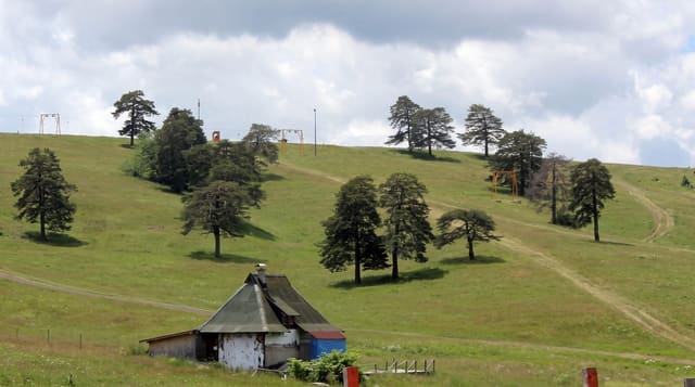
The Mandara mountains run along the border with Nigeria in the far north, a range of old volcanic rock eroded into domes, boulder fields and standing spires, with villages built into the slopes and hillsides terraced with dry stone walls that have been maintained for centuries to hold soil and water. The communities of the range, among them the Mafa, Kapsiki and Podokwo, farm those terraces and keep distinctive building traditions of round houses and granaries. Rhumsiki, where volcanic plugs stand out of the plain, is the best-known viewpoint. The landscape is dry, rocky and worked to the last metre, and it looks unlike anywhere else in the country.
Highlights
- Volcanic spires and plugs - the eroded rock towers of the range.
- Dry stone terracing - centuries of walls holding the hillsides.
- Round houses and granaries - the building traditions of the villages.
- Rhumsiki viewpoint - the plugs rising from the plain.
When to go
November to February, the cool dry months; from March the heat is extreme. Two to three days. Guides from the communities are needed and fees are agreed locally.
Good to know
Roads are rough, heat outside the cool season is severe, and facilities are very limited. Photographing people requires asking and often payment.
Nearby
Mokolo is in the range; Maroua lies east.
Key facts
Source: Wikidata, item Q1888885, read on 18 October 2026.
What to pack for Mandara Mountains
Chosen from what this place is for. Tap a kit for the full checklist.
- Broken-in walking shoes or boots - Grip and ankle support matter more than looks; never hike in brand-new boots. Find on Amazon
- Layers for big temperature swings - Warm sun by day, near-freezing at night, even near the equator. Find on Amazon
- Layers + a waterproof shell - Mountain weather turns fast; a packable rain jacket saves the day. Find on Amazon
- Extra-strong sun protection - Thin air means fierce UV; hat, sunglasses and high-SPF sunscreen. Find on Amazon
Some links on this page are Amazon affiliate links - if you buy through them we may earn a small commission at no extra cost to you.
All packing kitsPlan your trip
Where to start if Mandara Mountains is going on the list.
Booking links on this page are affiliate links - if you book through them we may earn a small commission at no extra cost to you. It never changes what we write about a place.
Opening times, ticket prices and seasonal closures change - check the official source before you go: official site.