Serra do Tepequem
A small Roraima table mountain of waterfalls and savanna, worked for diamonds for half a century and now recovering.
Updated 29 August 2026
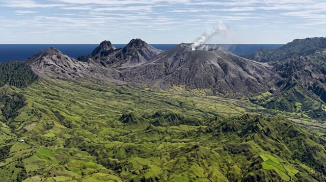
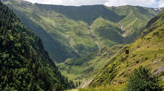
Tepequem is a tepui in miniature - a flat-topped sandstone massif rising about a thousand metres out of the Roraima savanna, small enough to drive up and walk across in a day, with a rim of waterfalls dropping off the edge: Barata, Paiva, Funil and others, several with pools at the bottom. The plateau itself is grassland and gallery forest with long views over the lavrado, the savanna that covers much of northern Roraima and is unlike the forested Amazon most visitors expect of the state. Its recent history is mining: diamonds and gold were worked here from the 1930s to the 1990s, and the scars, pits and tailings are visible on the top, with a small museum and former garimpeiros who guide. Vegetation is slowly taking the workings back.
What you'll find
- A drivable tepui - a small tabletop massif you can reach by road and cross on foot.
- Falls off the rim - Barata, Paiva and Funil dropping from the plateau edge.
- Lavrado savanna - the open grassland of northern Roraima, not rainforest.
- Diamond workings - pits and tailings from sixty years of mining, slowly regreening.
When to go
December to March, the drier window. Two days.
Good to know
The last road up is unpaved and hard after rain. Facilities are simple pousadas. Falls need short walks on rough ground and some need a guide. Roraima is remote and connections are limited.
Nearby
Boa Vista is the state capital; the Venezuelan border is north.
Key facts
Source: Wikidata, item Q10370507, read on 18 October 2026.
What to pack for Serra do Tepequem
Chosen from what this place is for. Tap a kit for the full checklist.
- Broken-in walking shoes or boots - Grip and ankle support matter more than looks; never hike in brand-new boots. Find on Amazon
- Strong insect repellent - DEET or picaridin; the jungle is where bites and disease risk are highest. Find on Amazon
- Layers for big temperature swings - Warm sun by day, near-freezing at night, even near the equator. Find on Amazon
- Layers + a waterproof shell - Mountain weather turns fast; a packable rain jacket saves the day. Find on Amazon
Some links on this page are Amazon affiliate links - if you buy through them we may earn a small commission at no extra cost to you.
All packing kitsPlan your trip
Where to start if Serra do Tepequem is going on the list.
Booking links on this page are affiliate links - if you book through them we may earn a small commission at no extra cost to you. It never changes what we write about a place.
Opening times, ticket prices and seasonal closures change - check the official source before you go: official site.