Aha Hills
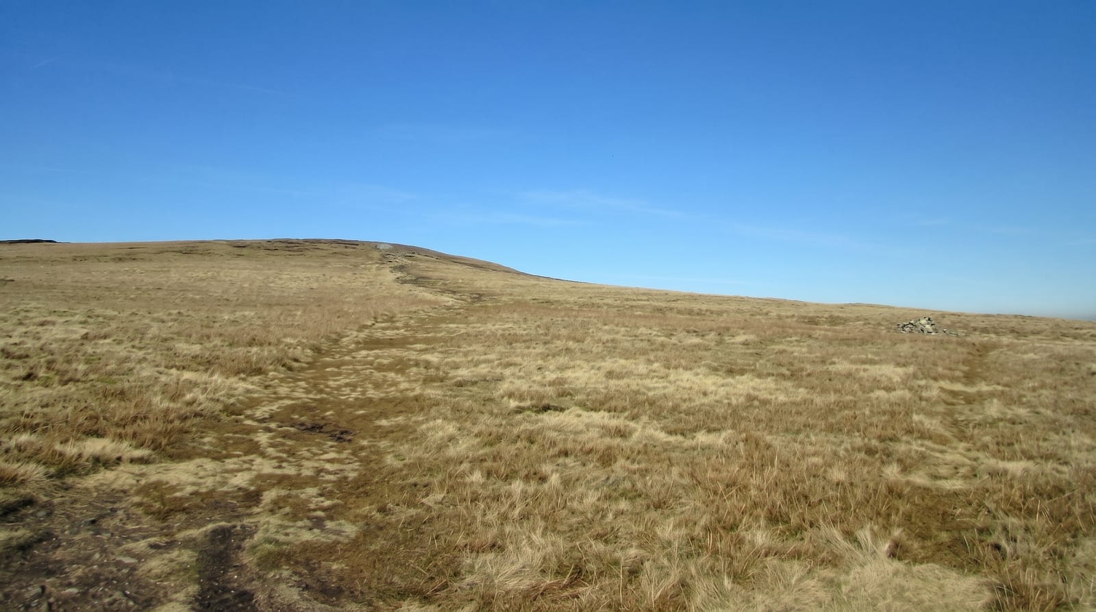
Low dolomite hills on the Namibian border in the far northwestern Kalahari, riddled with caves and sinkholes.
Updated 14 October 2026
The Aha hills rise only about three hundred metres above the surrounding sand but they are the most prominent relief for a very long way in this corner of the Kalahari, a block of dolomite and limestone straddling the Namibian border. The rock is riddled with caves, shafts and sinkholes, several of them explored and many not. Ju/'hoansi communities live in the area. There is no infrastructure, no marked route and almost nobody passes through.
Highlights
- The dolomite outcrops - hills rising abruptly from flat Kalahari sand.
- The sinkholes - open shafts and collapses across the hill surface.
- The caves - explored and unexplored systems within the rock.
- The emptiness - one of the least-travelled corners of the country.
When to go
May to September is the dry season and the practical window. The rains from December to March make the sand tracks impassable. Nights in June and July drop below freezing.
Before you go
Open shafts are unmarked and a fall would be fatal; walking here needs care and daylight. Access is a serious four-wheel drive expedition requiring two vehicles, fuel and water for the whole trip. There is no phone signal and no help.
Nearby
Gcwihaba caves are south, and the Namibian border runs along the west.
What to pack for Aha Hills
Chosen from what this place is for. Tap a kit for the full checklist.
- Broken-in walking shoes or boots - Grip and ankle support matter more than looks; never hike in brand-new boots. Find on Amazon
- Head torch + spare batteries - Hands-free light is essential; caves are truly dark. Find on Amazon
- Shelter suited to the place - Tent, tarp or hut booking - match it to the terrain and rules. Find on Amazon
- Layers + a waterproof shell - Mountain weather turns fast; a packable rain jacket saves the day. Find on Amazon
Some links on this page are Amazon affiliate links - if you buy through them we may earn a small commission at no extra cost to you.
All packing kitsPlan your trip
Where to start if Aha Hills is going on the list.
Booking links on this page are affiliate links - if you book through them we may earn a small commission at no extra cost to you. It never changes what we write about a place.
Opening times, ticket prices and seasonal closures change - check the official source before you go: official site.