Port Honduras Marine Reserve
An inshore reserve of a hundred and thirty small cayes off Toledo, a nursery for fish and a manatee stronghold.
Updated 16 October 2026
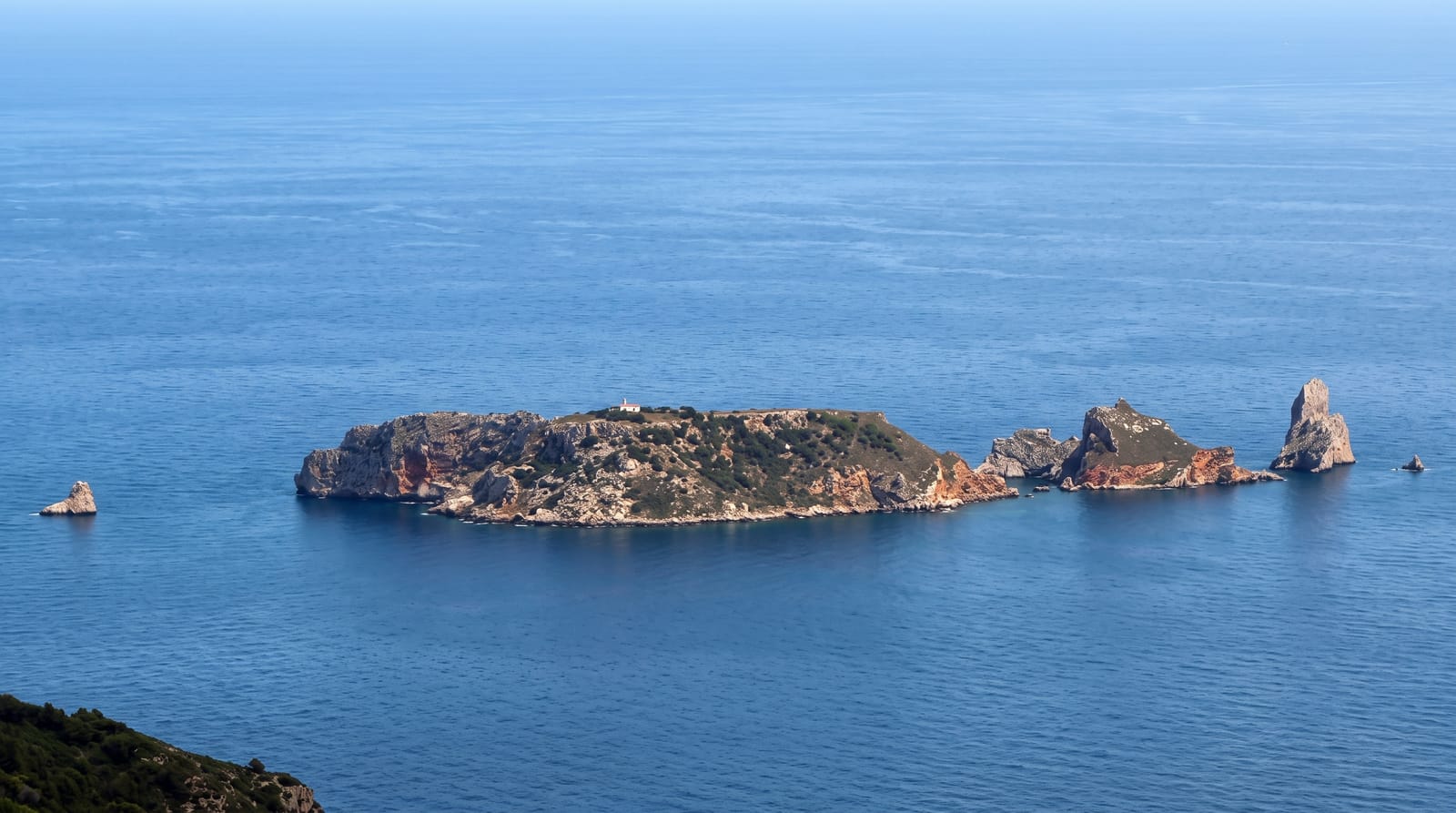
Port Honduras covers around a hundred thousand acres of shallow inshore water between the Toledo coast and the barrier reef, scattered with some hundred and thirty small mangrove cayes. Because several rivers empty into it, the water is brackish and rich, and it works as a nursery for fish that later move out to the reef, as well as holding manatees. The Snake Cayes at the outer edge have the clearest water and the snorkelling.
Background
The reserve was established in January 2000 and protects 40,470 hectares of mangrove and coastal ecosystems in the Toledo district. Alongside more than one hundred small cayes ringed by mangroves, it covers seabed habitats of soft-bottom seagrass beds and fringing reefs. Management is shared with the Toledo Institute for Development and Environment, a community-based non-governmental organisation. The area is split into three zones, set aside for general use, for preservation and for conservation.
Source: Wikipedia, "Port Honduras Marine Reserve"
What you'll find
- The mangrove cayes - around a hundred and thirty small islands across the reserve.
- The Snake Cayes - the outer islands with clearer water and reef.
- The manatees - a resident population in the brackish inshore water.
- The fish nursery - the shallow habitat that stocks the reef further out.
When to go
December to April is the dry season with the clearest water. River runoff in the rains cuts visibility badly. Boats are cancelled in rough conditions.
Practical notes
Water clarity inshore is poor because of river runoff and visitors expecting reef-clear water are disappointed. Getting to the Snake Cayes is a long boat run. Facilities are none.
Nearby
Punta Gorda is south, and the Sapodilla Cayes are further offshore.
Key facts
Source: Wikidata, item Q7230674, read on 18 October 2026.
What to pack for Port Honduras Marine Reserve
Chosen from what this place is for. Tap a kit for the full checklist.
- Broken-in walking shoes or boots - Grip and ankle support matter more than looks; never hike in brand-new boots. Find on Amazon
- Your own mask + snorkel - A well-fitting mask is the single biggest comfort upgrade underwater. Find on Amazon
- Layers + a waterproof shell - Mountain weather turns fast; a packable rain jacket saves the day. Find on Amazon
- Rash guard or thin wetsuit - Sun cover on the surface and warmth on longer or deeper dives. Find on Amazon
Some links on this page are Amazon affiliate links - if you buy through them we may earn a small commission at no extra cost to you.
All packing kitsPlan your trip
Where to start if Port Honduras Marine Reserve is going on the list.
Booking links on this page are affiliate links - if you book through them we may earn a small commission at no extra cost to you. It never changes what we write about a place.
Opening times, ticket prices and seasonal closures change - check the official source before you go: official site.