Lacs de l'Eau d'Heure
The largest area of water in Belgium, five linked reservoirs in southern Hainaut used for sailing and diving.
Updated 12 October 2026
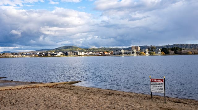
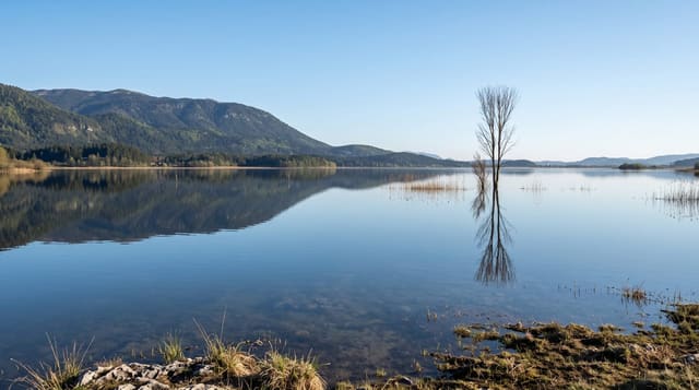
The Lacs de l'Eau d'Heure are five connected reservoirs built between 1970 and 1978 to regulate the flow of the Sambre for navigation, covering around six hundred hectares of water with about seventy kilometres of shoreline, which makes them by a distance the largest body of water in Belgium. Because the flooding was recent, the drowned valley shapes are still legible and the water is deep and clean, and the lakes have become the country's main inland centre for sailing, windsurfing, waterskiing and, unusually, scuba diving, with training sites in the deeper sections. Two dams can be visited, and a tower on the Barrage de la Plate Taille gives a view over the whole system. A large holiday village and adventure park sit on the shore.
What's there
- Five linked reservoirs - the largest water surface in Belgium.
- The Plate Taille dam and tower - a view over the whole system.
- Inland scuba diving - training sites in the deeper water.
- Seventy kilometres of shoreline - walking and cycling routes around the lakes.
When to go
May to September for the water activities; the shoreline paths work year round. A day or a weekend. Belgian school holidays are busy. Water sports require booking with the operators on site.
What to expect
It is an artificial reservoir system and looks it in places, with concrete dams and a large holiday village. Water activities are commercial and separately charged. The water is cold even in summer. Some shoreline is closed as water catchment.
Nearby
Chimay is south; the Fondry des Chiens lies east near Nismes.
Key facts
Source: Wikidata, item Q617270, read on 18 October 2026.
What to pack for Lacs de l'Eau d'Heure
Chosen from what this place is for. Tap a kit for the full checklist.
- Reef-safe sunscreen - High SPF that will not bleach the coral you are swimming over. Find on Amazon
- Your own mask + snorkel - A well-fitting mask is the single biggest comfort upgrade underwater. Find on Amazon
- Quick-dry clothing - Board shorts or synthetics that shrug off spray and dry fast. Find on Amazon
- Padded shorts - The one thing that makes a full day in the saddle bearable. Find on Amazon
Some links on this page are Amazon affiliate links - if you buy through them we may earn a small commission at no extra cost to you.
All packing kitsPlan your trip
Where to start if Lacs de l'Eau d'Heure is going on the list.
Booking links on this page are affiliate links - if you book through them we may earn a small commission at no extra cost to you. It never changes what we write about a place.
Opening times, ticket prices and seasonal closures change - check the official source before you go: official site.