The Platinum Coast
The sheltered west coast from Holetown to Speightstown, with calm water, turtles offshore and the island's most expensive property behind.
Updated 3 September 2026
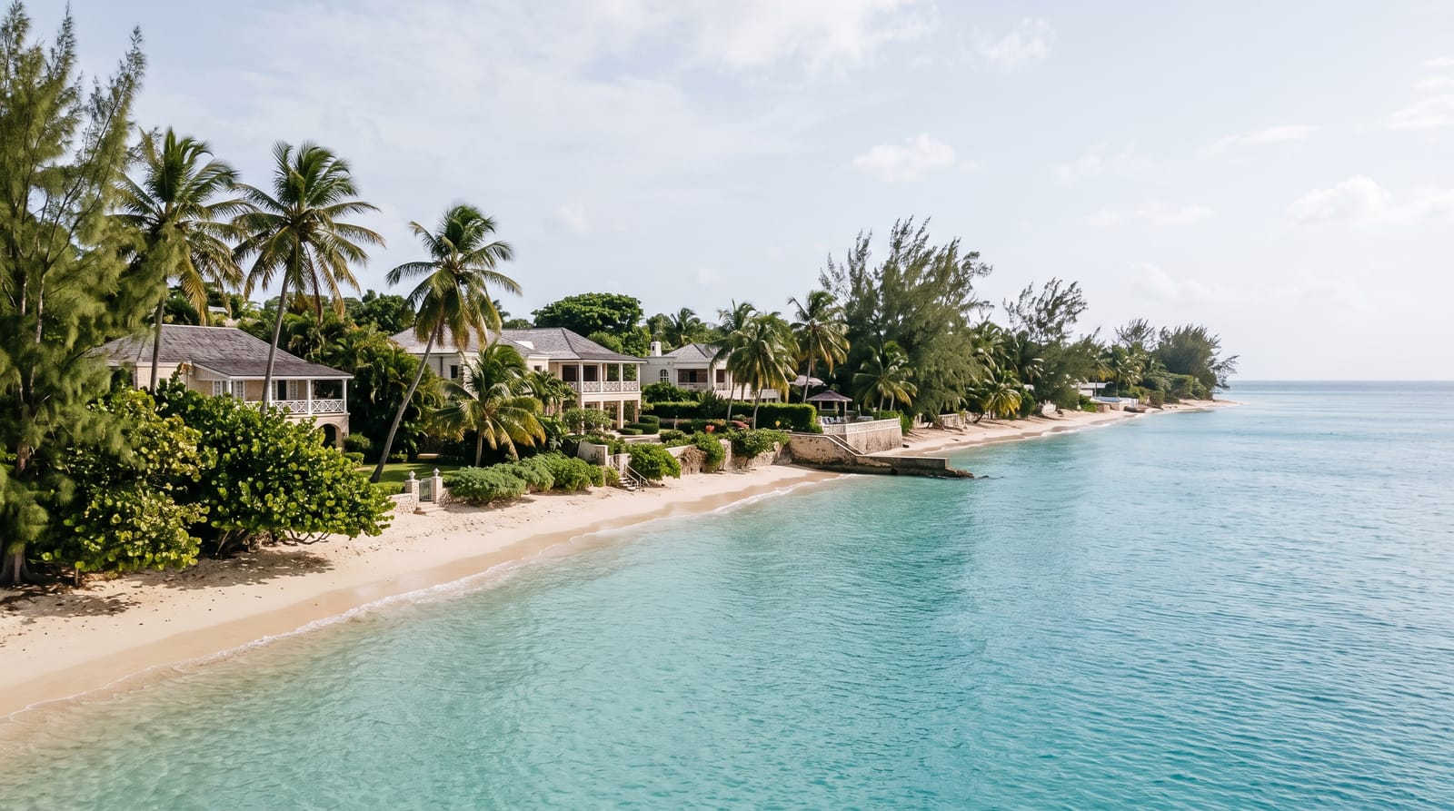
AI illustration
The west coast faces the Caribbean rather than the Atlantic, which means no swell, no wind and water that is flat almost every day of the year, and that has made it the expensive side of the island since the 1950s. The strip from Paynes Bay north through Holetown to Speightstown is lined with villas and hotels, but every beach in Barbados is public to the high water mark and access paths are marked at intervals. Hawksbill and green turtles feed in the shallows the length of it, and snorkelling from the sand off Paynes Bay or Folkestone finds them without a boat.
What's there
- The flat water - almost no swell on this coast at any time.
- Turtles from the beach - feeding in the shallows within swimming distance.
- Folkestone marine park - a snorkel trail and a sunken barge.
- The public access paths - marked routes to the sand between properties.
When to go
December to April is the high season and the driest. The water is calm year-round on this side. Mornings are best for turtles and for finding space on the narrower stretches.
Practical notes
Beach erosion on this coast is a real and worsening problem, with several stretches noticeably narrower than they were and sea walls appearing. Access is legally public but finding the paths between properties takes effort and signage is poor. Turtle-feeding boat trips crowd certain spots. It is the expensive side of the island in every sense.
Nearby
Holetown and Speightstown are on the coast; Bridgetown is south.
What to pack for The Platinum Coast
Chosen from what this place is for. Tap a kit for the full checklist.
- Broken-in walking shoes or boots - Grip and ankle support matter more than looks; never hike in brand-new boots. Find on Amazon
- Reef-safe sunscreen - High SPF that will not bleach the coral you are swimming over. Find on Amazon
- Your own mask + snorkel - A well-fitting mask is the single biggest comfort upgrade underwater. Find on Amazon
- Binoculars - The single best wildlife tool - even a compact pair transforms a sighting. Find on Amazon
Some links on this page are Amazon affiliate links - if you buy through them we may earn a small commission at no extra cost to you.
All packing kitsPlan your trip
Where to start if The Platinum Coast is going on the list.
Booking links on this page are affiliate links - if you book through them we may earn a small commission at no extra cost to you. It never changes what we write about a place.
Opening times, ticket prices and seasonal closures change - check the official source before you go: official site.