Kaptai Lake
The largest artificial lake in Bangladesh, made by a dam completed in the early 1960s that flooded a valley and displaced its people.
Updated 1 November 2026
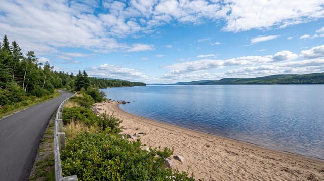
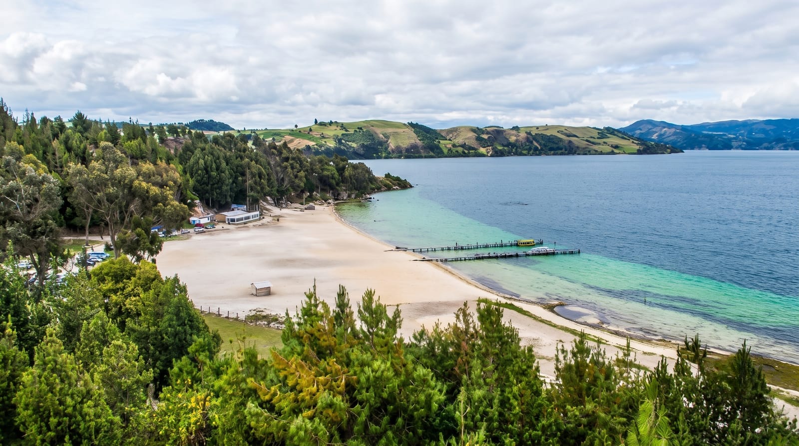
Kaptai Lake was created in the late 1950s and early 1960s by damming the Karnaphuli for a hydroelectric station, flooding a wide valley in the Chittagong Hill Tracts and covering some 690 square kilometres, including the old Rangamati town, the palace of the Chakma raja and a great deal of farmland; about a hundred thousand people, largely Chakma, had to move. What is there now is a large body of water winding between forested hills with islands, submerged trees standing in the shallows and villages along the shore. Boats are the transport, and hiring one to move between shore points and islands is how visitors see it.
History
The government began building the dam on the Karnaphuli for a hydroelectric plant in 1956, with the International Engineering Company and Utah International as contractors, and the work was finished in the early 1960s. The lake drowned 54,000 acres of farmland in Rangamati district, some 40 per cent of its arable land, displaced about 100,000 people and covered the palace of the Chakma king; the dam is 670.8 metres long and 54.7 metres high (Wikipedia, Kaptai Lake).
What you'll find
- Water winding between forested hills - the flooded valley system.
- Submerged trees in the shallows - trunks standing in the water.
- Boat transport between villages - the way people move on the lake.
- Islands in the reservoir - the hilltops the water left standing.
When to go
November to March. A day for a boat trip, two to see more of the shore. Foreign visitors to parts of the hill tracts need permits and may need to travel with a guide; check current rules before going.
Practical notes
Permit rules for foreigners in the hill tracts change and are enforced. Boat prices are negotiated.
Nearby
Rangamati is on the shore; Kaptai town is at the dam.
Key facts
Source: Wikidata, item Q10995968, read on 18 October 2026.
What to pack for Kaptai Lake
Chosen from what this place is for. Tap a kit for the full checklist.
- Reef-safe sunscreen - High SPF that will not bleach the coral you are swimming over. Find on Amazon
- Quick-dry towel - A microfibre towel packs small and dries in minutes. Find on Amazon
- Water shoes - Protect your feet on rocky entries, hot sand and sea-urchin spines. Find on Amazon
- Dry bag - Keeps phone, cash and keys safe while you are in the water. Find on Amazon
Some links on this page are Amazon affiliate links - if you buy through them we may earn a small commission at no extra cost to you.
All packing kitsPlan your trip
Where to start if Kaptai Lake is going on the list.
Booking links on this page are affiliate links - if you book through them we may earn a small commission at no extra cost to you. It never changes what we write about a place.
Opening times, ticket prices and seasonal closures change - check the official source before you go: official site.