Villach Alpine Road
A toll road up the Dobratsch above Villach, past the rubble field left by a medieval landslide.
Updated 2 October 2026
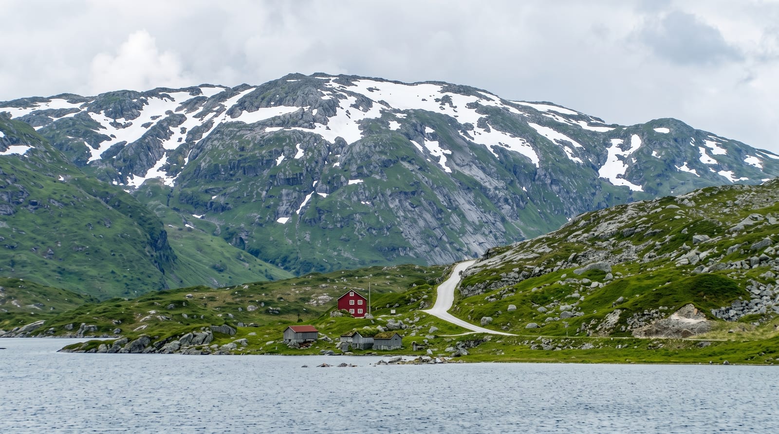
The Villacher Alpenstrasse climbs about sixteen kilometres from Villach up the flank of the Dobratsch to a car park at around seventeen hundred metres, from which the summit at 2,166 metres is a walk of an hour or so. The road passes through the Schütt, an enormous field of shattered rock left by the landslide of 1348, when an earthquake brought down a large part of the mountain's southern face, dammed the Gail river and destroyed villages beneath - one of the largest recorded rock failures in the eastern Alps, and the ground has never been reforested normally, producing an unusual dry warm habitat with reptiles and plants found nowhere else in Carinthia. The Dobratsch is now a nature park, with alpine flora, a chapel near the summit and a long view into Slovenia and Italy.
What to look for
- The Schütt landslide field - shattered rock from the collapse of 1348.
- A distinct dry habitat - reptiles and plants on ground that never reforested.
- A toll road to 1,700 metres - sixteen kilometres of hairpins up the flank.
- A three-country view - into Slovenia and Italy from the summit walk.
When to go
May to October; the road closes in snow. Half a day.
Things to know
The road is tolled and shut in winter. Cloud closes the summit view often. The last stretch to the top is on foot, about an hour, on rough ground. Adders are present in the Schütt.
Nearby
Villach is below; the Faaker See is east; Italy and Slovenia are south.
What to pack for Villach Alpine Road
Chosen from what this place is for. Tap a kit for the full checklist.
- Warm base layers - Merino or synthetic against the skin - never cotton, which chills when damp. Find on Amazon
- Comfortable walking shoes - Sightseeing means kilometres of pavement and cobbles daily. Find on Amazon
- An insulated + windproof jacket - A down or synthetic layer under a hard shell handles most cold. Find on Amazon
- A slim anti-theft daypack - Zips that close properly; keep it in front in crowds and on transit. Find on Amazon
Some links on this page are Amazon affiliate links - if you buy through them we may earn a small commission at no extra cost to you.
All packing kitsPlan your trip
Where to start if Villach Alpine Road is going on the list.
Booking links on this page are affiliate links - if you book through them we may earn a small commission at no extra cost to you. It never changes what we write about a place.
Opening times, ticket prices and seasonal closures change - check the official source before you go: official site.