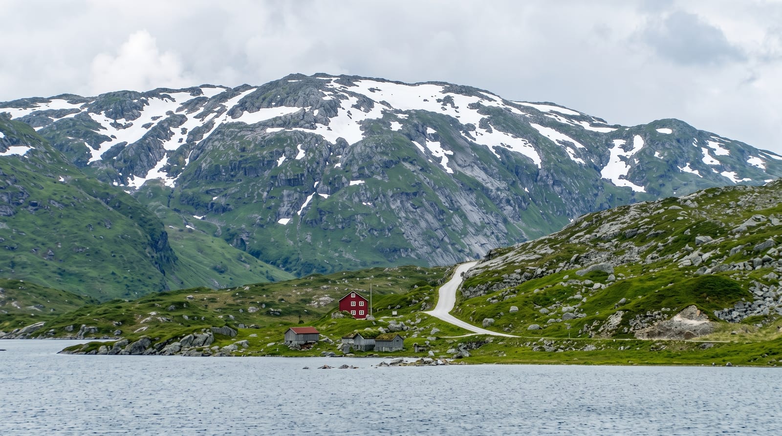
Kaunertal Glacier Road
A toll road of twenty-nine hairpins climbing 1,500 metres from the Kaunertal reservoir to a glacier at 2,750.
Updated 2 October 2026
The Kaunertaler Gletscherstrasse runs about twenty-six kilometres from Feichten up the Kaunertal to the Weissseeferner at around two thousand seven hundred and fifty metres, climbing some fifteen hundred metres in twenty-nine hairpins, past the Gepatsch reservoir - a large rockfill dam completed in 1964 whose flank has an ongoing slow landslide monitored continuously. Above the reservoir the road climbs through moraine and rock to the glacier ski area. The Kaunertal is one of the drier inner-alpine valleys and the vegetation reflects that. There is a nature information point at Gepatschhaus, walking onto the Gepatschferner, and the road is a well-known cycling climb. Like the other Tyrolean glacier roads it is tolled and dependent on weather.
What's there
- Twenty-nine hairpins in 1,500 metres - the climb from the valley to the ice.
- The Gepatsch reservoir - the 1964 rockfill dam with its monitored moving flank.
- Glacier terrain at the top - moraine, rock and the Weissseeferner ski area.
- A dry inner-alpine valley - the vegetation of a rain-shadowed side valley.
When to go
June to October for driving; the ski season for the glacier. Half a day.
Things to know
Tolled and closed in bad weather. It is a dead end - you come back the same way. Altitude affects some visitors at 2,750 metres. The glacier has retreated substantially.
Nearby
Landeck and the Inn valley are north; the Ötztal is east over the ridge.
Key facts
Source: Wikidata, item Q1737128, read on 18 October 2026.
What to pack for Kaunertal Glacier Road
Chosen from what this place is for. Tap a kit for the full checklist.
- Padded shorts - The one thing that makes a full day in the saddle bearable. Find on Amazon
- Warm base layers - Merino or synthetic against the skin - never cotton, which chills when damp. Find on Amazon
- Comfortable walking shoes - Sightseeing means kilometres of pavement and cobbles daily. Find on Amazon
- Helmet - Bring your own if you have a good one; rentals vary wildly. Find on Amazon
Some links on this page are Amazon affiliate links - if you buy through them we may earn a small commission at no extra cost to you.
All packing kitsPlan your trip
Where to start if Kaunertal Glacier Road is going on the list.
Booking links on this page are affiliate links - if you book through them we may earn a small commission at no extra cost to you. It never changes what we write about a place.
Opening times, ticket prices and seasonal closures change - check the official source before you go: official site.