Tasman National Park
The highest sea cliffs in the southern hemisphere, dolerite columns rising three hundred metres straight from the ocean.
Updated 18 October 2026
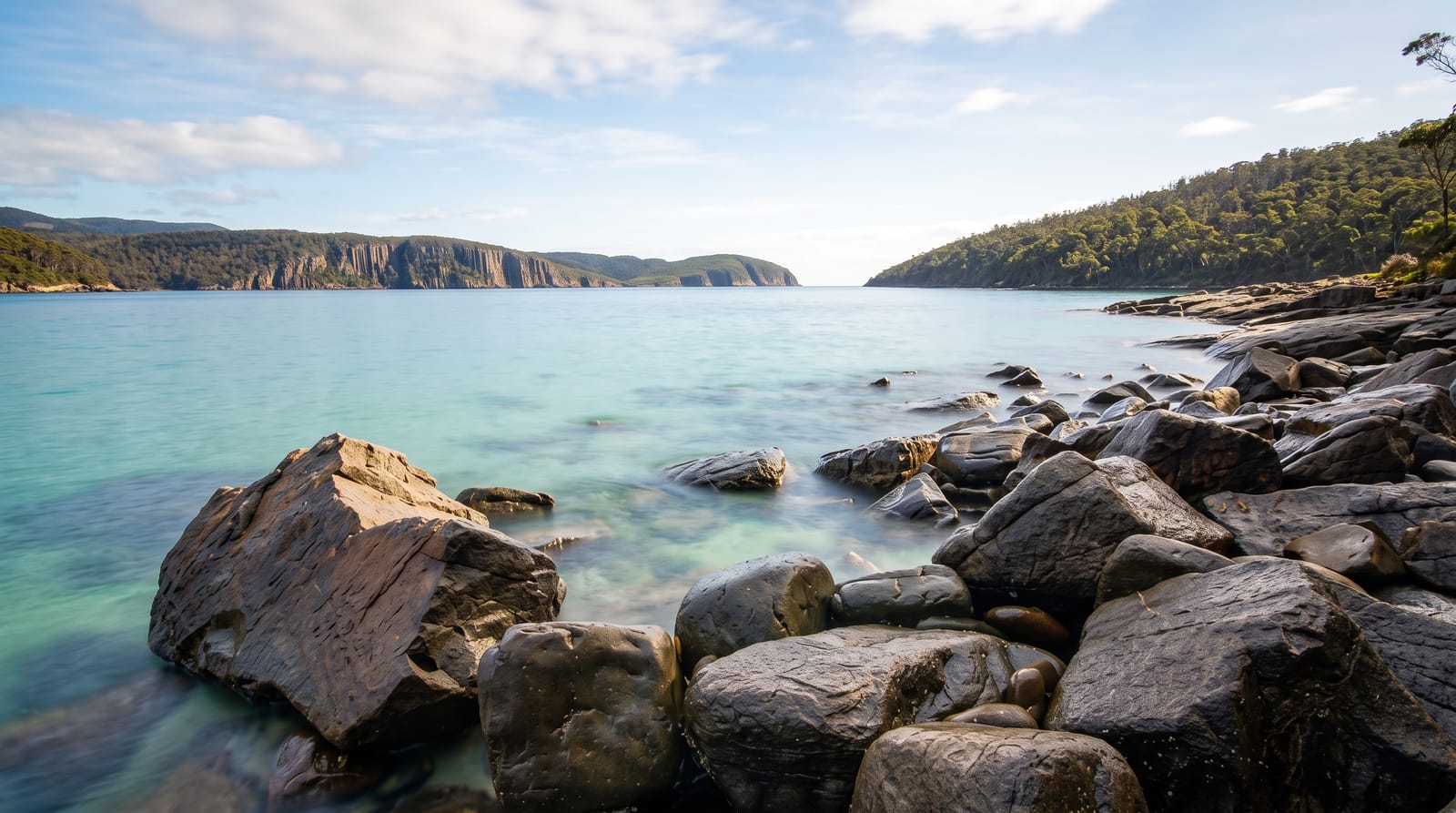
AI illustration
The Tasman Peninsula is built of dolerite, and where the Southern Ocean meets it the rock has been cut into cliffs that reach around three hundred metres at Cape Pillar and Cape Hauy, the highest sea cliffs in the southern hemisphere, formed of vertical columns that break off into stacks and blades. The Totem Pole at Cape Hauy, a free-standing column about sixty-five metres high and four wide, is one of the world's best-known sea stacks among climbers. Walking tracks reach Cape Hauy in four hours return and Cape Raoul in five, and boat tours run beneath the cliffs. Seals, dolphins and migrating whales use the water below.
History
Whalers worked this coast in the 1830s and 1840s, and in the late 1800s warships of the Royal Navy's Australia Station damaged the dolerite columns of Cape Raoul with gunnery practice. The lighthouse on Tasman Island was built in 1906 and has had no keepers since 1977, and the park was proclaimed under the Regional Forest Agreement on 30 April 1999 (Wikipedia, Tasman National Park).
The landscape
- The dolerite cliffs - vertical columns up to three hundred metres above the sea.
- The Totem Pole - the slender free-standing stack at Cape Hauy.
- The cape walks - tracks to Cape Hauy, Cape Raoul and Cape Pillar.
- The boat tours - trips running directly beneath the cliffs.
When to go
October to April for the best weather and boat conditions; the peninsula is exposed and winter walks are cold and wet. Cape walks are steep with many steps. Boat tours are cancelled in swell, which is frequent.
What to expect
The cape walks involve hundreds of steps and steep climbs, harder than the distances suggest. Cliff edges are unfenced. Boat tours are rough and seasickness is common. Weather changes quickly on the exposed capes.
Nearby
Port Arthur lies west; the Tessellated Pavement is at Eaglehawk Neck.
Key facts
Source: Wikidata, item Q925214, read on 18 October 2026.
What to pack for Tasman National Park
Chosen from what this place is for. Tap a kit for the full checklist.
- Broken-in walking shoes or boots - Grip and ankle support matter more than looks; never hike in brand-new boots. Find on Amazon
- Binoculars - The single best wildlife tool - even a compact pair transforms a sighting. Find on Amazon
- Layers + a waterproof shell - Mountain weather turns fast; a packable rain jacket saves the day. Find on Amazon
- A zoom camera or long lens - Animals rarely come close; reach beats megapixels. Find on Amazon
Some links on this page are Amazon affiliate links - if you buy through them we may earn a small commission at no extra cost to you.
All packing kitsPlan your trip
Where to start if Tasman National Park is going on the list.
Booking links on this page are affiliate links - if you book through them we may earn a small commission at no extra cost to you. It never changes what we write about a place.
Opening times, ticket prices and seasonal closures change - check the official source before you go: official site.