Tamborine Mountain
A rainforest plateau above the Gold Coast with galleries, wineries, waterfall walks and a rainforest skywalk.
Updated 18 October 2026
AI illustration
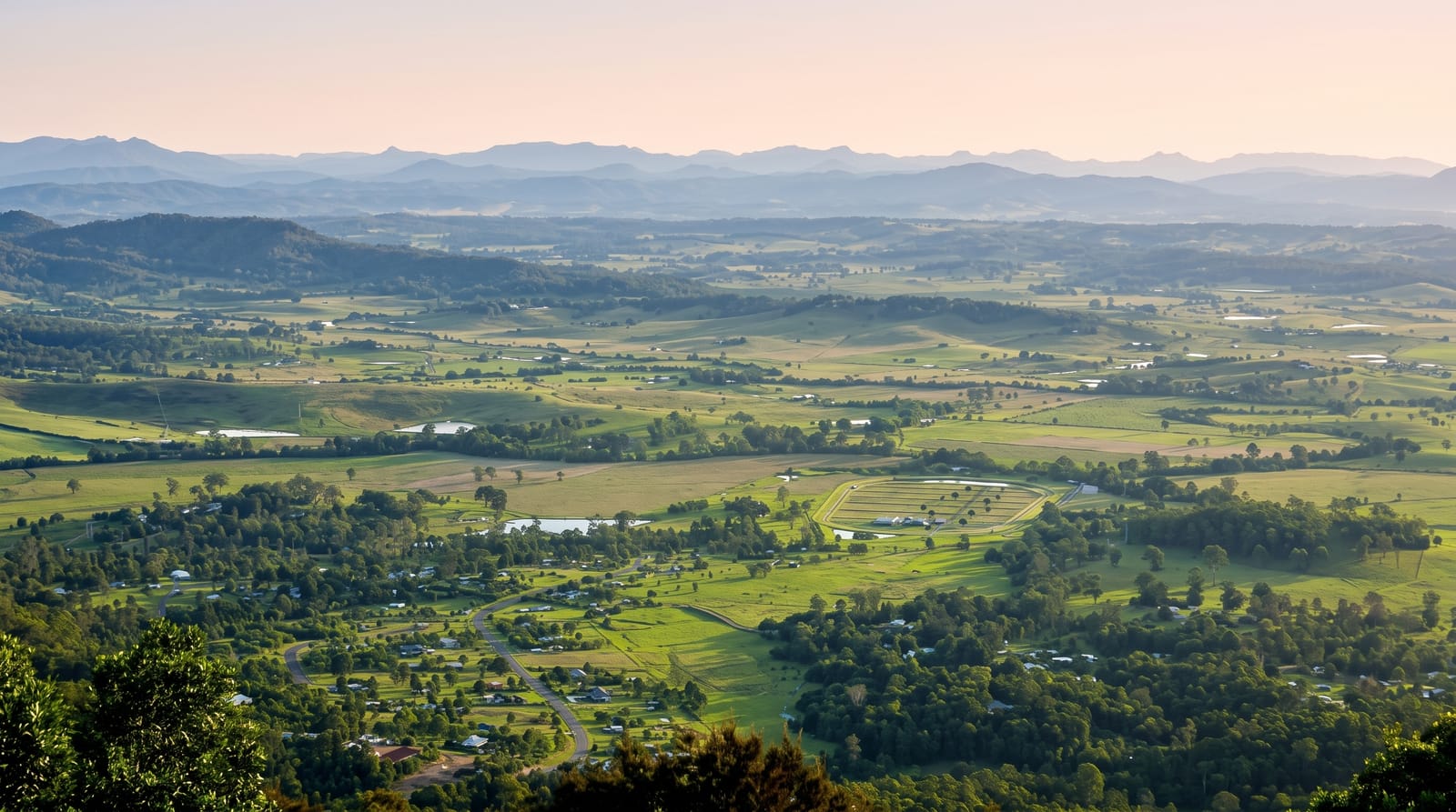
Tamborine Mountain is a basalt plateau standing about five hundred and fifty metres above the coastal plain, with three villages, North Tamborine, Eagle Heights and Mount Tamborine, strung along it. Queensland's first national park was declared here at Witches Falls in 1908. The plateau combines short rainforest walks to Curtis Falls, Cedar Creek Falls and Cameron Falls with a visitor economy of galleries, distilleries, wineries, a German-themed shopping precinct and a rainforest skywalk on a steel bridge through the canopy. A commercial glow-worm cave, a purpose-built tunnel rather than a natural one, operates on the mountain. The escarpment edges give views over the Gold Coast and the caldera.
History
For tens of thousands of years the plateau was Aboriginal land, and at the time of British colonisation it lay in the territory of the Wanggeriburra clan of the Yugambeh people; the name is an anglicised form of the Yugambeh Jambreen, "place of yams", which once meant only one spot within today's settlement. Most of the Wanggeriburra had left by the late 1850s. Its thick scrub kept settlers off until the mountain was opened for selection in 1875, the first selectors settled in 1878, and in 1893 the St Bernard Estate was auctioned in small lots for "gentlemen's residences" while the first school opened. Although much land was cleared for farming, Witches Falls was declared Queensland's first national park in 1908, and a tourist road up the mountain opened in 1924 (Wikipedia, Tamborine Mountain).
What to look for
- The rainforest walks - Curtis, Cameron and Cedar Creek falls on short tracks.
- The skywalk - a steel bridge through and above the rainforest canopy.
- Gallery Walk - the shopping and gallery strip at Eagle Heights.
- The escarpment views - lookouts over the Gold Coast and the caldera.
When to go
April to November for the driest weather; summer is humid with heavy afternoon storms. Weekends are busy with day trippers and traffic on the mountain roads is slow. Falls run strongest after summer rain.
Practical notes
The mountain is heavily commercialised and can feel more like a shopping day than a nature one. Roads up are narrow, winding and busy at weekends. The glow-worm cave is artificial, which surprises some visitors expecting a natural site.
Nearby
Springbrook lies south along the caldera rim; the Gold Coast is half an hour east.
What to pack for Tamborine Mountain
Chosen from what this place is for. Tap a kit for the full checklist.
- Head torch + spare batteries - Hands-free light is essential; caves are truly dark. Find on Amazon
- Strong insect repellent - DEET or picaridin; the jungle is where bites and disease risk are highest. Find on Amazon
- Comfortable walking shoes - Sightseeing means kilometres of pavement and cobbles daily. Find on Amazon
- Grippy closed shoes - Cave floors are wet, muddy and slick with formations. Find on Amazon
Some links on this page are Amazon affiliate links - if you buy through them we may earn a small commission at no extra cost to you.
All packing kitsPlan your trip
Where to start if Tamborine Mountain is going on the list.
Booking links on this page are affiliate links - if you book through them we may earn a small commission at no extra cost to you. It never changes what we write about a place.
Opening times, ticket prices and seasonal closures change - check the official source before you go: official site.