Burleigh Heads
A point break under a forested volcanic headland, the Gold Coast's low-rise counterweight to the high-rise strip.
Updated 18 October 2026
AI illustration
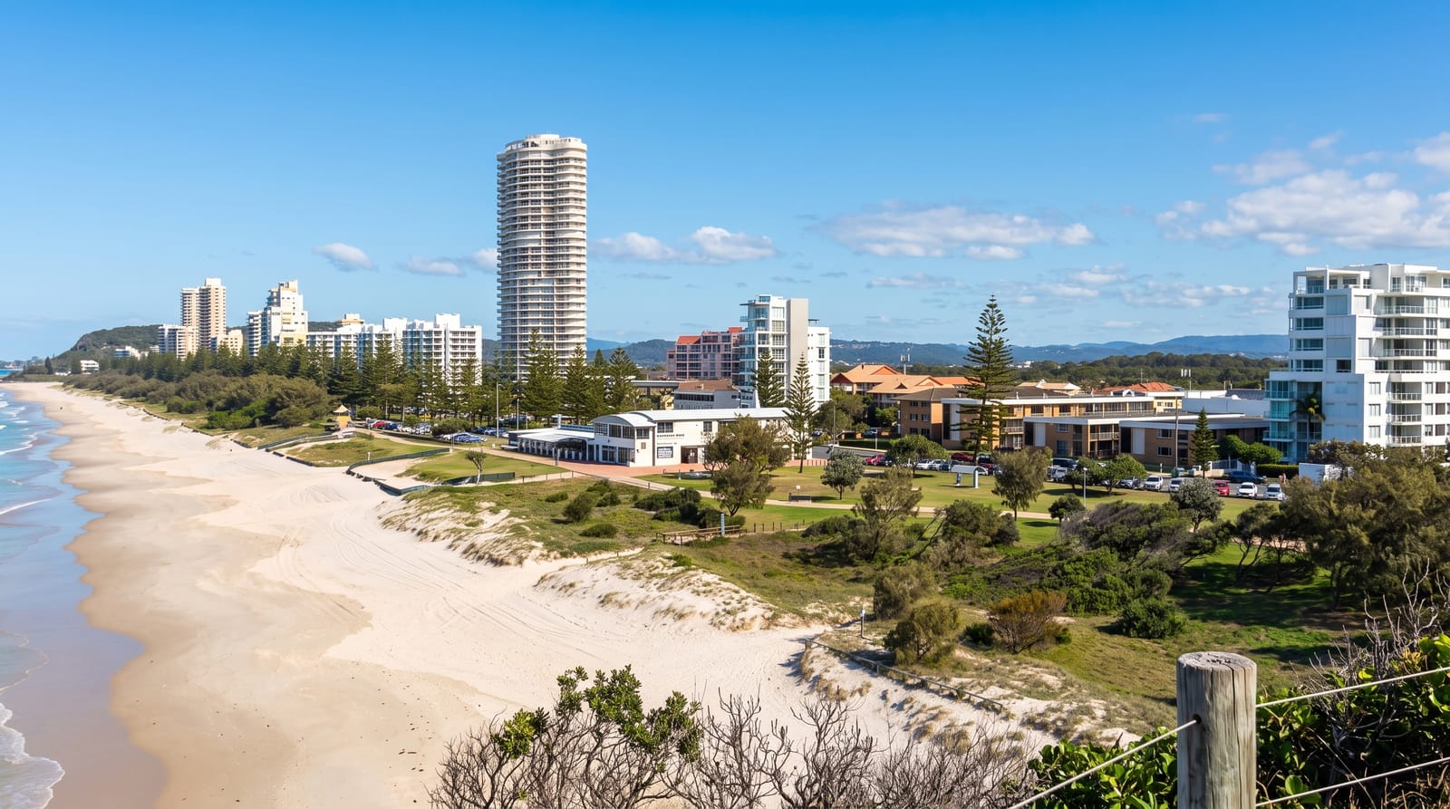
Burleigh Heads is a basalt headland left by the Tweed volcano, covered in remnant rainforest and hoop pines and protected as a small national park with walking tracks over and around it. The point produces one of Australia's best right-hand barrelling waves when a cyclone swell wraps in, drawing surfers from everywhere and hosting a World Surf League event. On the northern side, a long beach curves toward Surfers with a grassy foreshore of Norfolk pines used for picnics and drumming circles at sunset. The village behind has kept a lower-rise, café-driven character than the strip up the coast, and the headland walk gives views south to Coolangatta and north over the towers.
History
Aboriginal people lived around the headland for thousands of years before Europeans came, and in 1840 the surveyor James Warner, charting the coast near Moreton Bay, named it Burly Head for its massive look, a spelling that drifted to Burleigh Head. The town was surveyed by G. L. Pratten on 18 November 1871, and its first lots were sold on 2 July 1872 at the Lands Office in Beenleigh, more following in 1873, when a track already linked it with Nerang and newspapers were praising its beach; yet by 1885 the township still had only one place to stay (Wikipedia, Burleigh Heads, Queensland).
What to look for
- The point break - the right-hander that draws surfers when the swell arrives.
- The headland park - rainforest tracks and lookouts on the volcanic point.
- The foreshore - Norfolk pines and lawns along the northern beach.
- The village - a low-rise café and restaurant strip behind the beach.
When to go
April to October for the dry season; the best surf comes with cyclone swells from January to April. The headland walks are shaded and work year-round. Weekends fill the foreshore and parking is difficult.
Practical notes
The point is crowded and heavily localised when it breaks, and it is not a beginner wave. Parking near the beach is scarce at weekends. The national park is small and its tracks can be walked in an hour.
Nearby
Currumbin lies south; Surfers Paradise is up the coast north.
What to pack for Burleigh Heads
Chosen from what this place is for. Tap a kit for the full checklist.
- Quick-dry clothing - Board shorts or synthetics that shrug off spray and dry fast. Find on Amazon
- Strong insect repellent - DEET or picaridin; the jungle is where bites and disease risk are highest. Find on Amazon
- Comfortable walking shoes - Sightseeing means kilometres of pavement and cobbles daily. Find on Amazon
- Secure water shoes or reef boots - Grip on slippery launches and protection on rocky shores. Find on Amazon
Some links on this page are Amazon affiliate links - if you buy through them we may earn a small commission at no extra cost to you.
All packing kitsPlan your trip
Where to start if Burleigh Heads is going on the list.
Booking links on this page are affiliate links - if you book through them we may earn a small commission at no extra cost to you. It never changes what we write about a place.
Opening times, ticket prices and seasonal closures change - check the official source before you go: official site.