Stockton Sand Dunes
The largest moving coastal dune system in the southern hemisphere, running thirty kilometres between Newcastle and Port Stephens.
Updated 18 October 2026
AI illustration
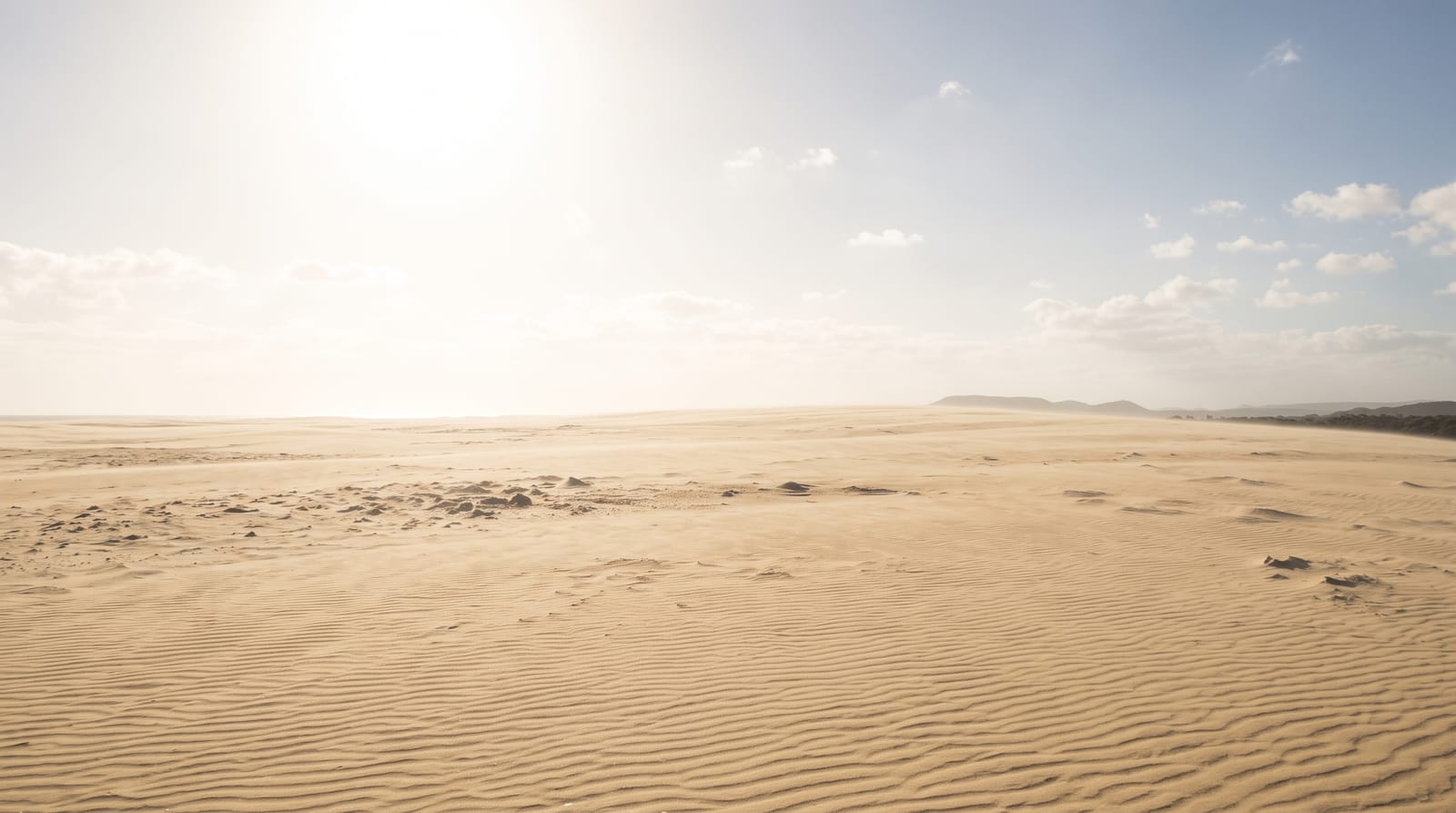
The Stockton Bight dunes run about thirty kilometres from Stockton to Anna Bay and reach a kilometre inland in places, the largest continuous mobile coastal dune system in the southern hemisphere, with dunes up to thirty metres high that shift constantly with the wind. They are used for sandboarding, quad bike tours, camel rides and four-wheel driving on the beach and dunes, which requires a permit. The dunes are also an Aboriginal place of high significance to the Worimi people, who own the land and manage it as the Worimi Conservation Lands, and middens and burial sites lie within them. The wreck of the Sygna, a bulk carrier lost in 1974, still stands offshore near Stockton.
History
The Worimi people's middens of pipi and whelk shells along the beach are up to 12,000 years old, appearing and vanishing as the wind reshapes the sand. Shipwrecks were so common in the late 19th century that two tin sheds were built near Bobs Farm to hold supplies for stranded sailors, squatters built the shacks of Tin City nearby in the Depression of the 1930s, and in the Second World War the beach was fortified against invasion with barbed wire and concrete tank traps and used as a bombing range (Wikipedia, Stockton Beach).
What you'll find
- The moving dunes - a vast field of shifting sand up to thirty metres high.
- The sandboarding and tours - operators running boards, quads and camels.
- The Sygna wreck - the 1974 wreck visible in the surf near Stockton.
- The Worimi lands - Aboriginal-owned country with cultural sites within the dunes.
When to go
April to November for comfortable conditions; the sand becomes extremely hot in summer and burns bare feet. Wind is constant and blowing sand is common. Tours run daily year-round, weather permitting.
What to expect
Driving on the dunes needs a permit, four-wheel drive and experience; vehicles get bogged regularly and recovery is expensive. Cultural sites are protected and disturbing them is an offence. The sun and wind exposure is total, with no shade anywhere.
Nearby
Anna Bay and Port Stephens lie north; Newcastle is at the southern end.
Key facts
Source: Wikidata, item Q7618220, read on 18 October 2026.
What to pack for Stockton Sand Dunes
Chosen from what this place is for. Tap a kit for the full checklist.
- Broken-in walking shoes or boots - Grip and ankle support matter more than looks; never hike in brand-new boots. Find on Amazon
- Quick-dry clothing - Board shorts or synthetics that shrug off spray and dry fast. Find on Amazon
- Padded shorts - The one thing that makes a full day in the saddle bearable. Find on Amazon
- Loose, light, long clothing - Covering up beats bare skin in the desert - and locals dress this way for a reason. Find on Amazon
Some links on this page are Amazon affiliate links - if you buy through them we may earn a small commission at no extra cost to you.
All packing kitsPlan your trip
Where to start if Stockton Sand Dunes is going on the list.
Booking links on this page are affiliate links - if you book through them we may earn a small commission at no extra cost to you. It never changes what we write about a place.
Opening times, ticket prices and seasonal closures change - check the official source before you go: official site.