Kanangra Walls
A wall of sheer quartzite-capped cliffs in Kanangra-Boyd National Park, looking out over one of the wildest valleys in the state.
Updated 19 October 2026
AI illustration
UNESCO World Heritage
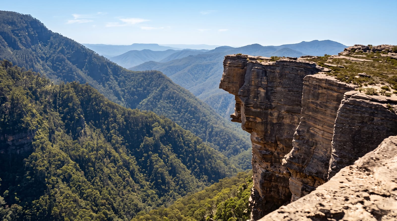
Kanangra Walls is a line of cliffs on the western edge of the Blue Mountains wilderness, where a plateau capped with hard quartzite ends abruptly above the Kanangra Creek gorge, several hundred metres below. A short loop walk from the car park leads to lookouts along the rim, with Kanangra Falls dropping over the edge nearby and the isolated Thurat Spires standing out from the wall. Longer routes descend to the Kanangra Deep and run out to Mount Cloudmaker along a ridge used by experienced walkers on multi-day trips to Katoomba. The plateau behind holds swamps and snow gums, and the whole area is remote, with the last thirty kilometres unsealed.
What's there
- The wall of cliffs - the quartzite-capped escarpment above the gorge.
- The rim lookouts - the short loop walk to viewpoints along the edge.
- Kanangra Falls - water dropping over the escarpment beside the walls.
- The wilderness beyond - Thurat Spires and the Kanangra Deep.
When to go
October to May for the best conditions; the plateau is cold, wet and sometimes snowbound in winter, and the unsealed road becomes slippery. Fire closures affect the area in summer. Cloud frequently fills the gorge in the mornings.
What to expect
The access road is around thirty kilometres of unsealed gravel, corrugated and slow, and unsuitable for low cars after rain. There is no water, fuel or phone coverage. Beyond the short rim loop, the walking is serious wilderness with steep descents and no easy exits.
Nearby
Jenolan Caves lie to the north; Oberon is the nearest town with services.
Key facts
Source: Wikidata, item Q1571138, read on 18 October 2026.
What to pack for Kanangra Walls
Chosen from what this place is for. Tap a kit for the full checklist.
- Broken-in walking shoes or boots - Grip and ankle support matter more than looks; never hike in brand-new boots. Find on Amazon
- Head torch + spare batteries - Hands-free light is essential; caves are truly dark. Find on Amazon
- Warm base layers - Merino or synthetic against the skin - never cotton, which chills when damp. Find on Amazon
- Layers + a waterproof shell - Mountain weather turns fast; a packable rain jacket saves the day. Find on Amazon
Some links on this page are Amazon affiliate links - if you buy through them we may earn a small commission at no extra cost to you.
All packing kitsPlan your trip
Where to start if Kanangra Walls is going on the list.
Booking links on this page are affiliate links - if you book through them we may earn a small commission at no extra cost to you. It never changes what we write about a place.
Opening times, ticket prices and seasonal closures change - check the official source before you go: official site.