Namadgi National Park
Alpine and sub-alpine ranges covering nearly half the Australian Capital Territory, with rock art and granite tors.
Updated 18 October 2026
AI illustration
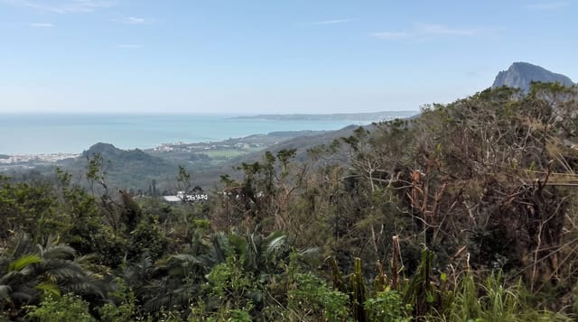
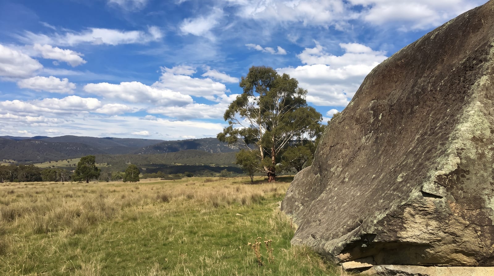
Namadgi covers around forty-six percent of the Australian Capital Territory, a block of mountain country running south from Canberra to the New South Wales border, with peaks over 1,900 metres, sub-alpine grasslands, snow gums and granite tors. Yankee Hat, reached on a flat walk across a grassy valley, holds a rock shelter with Ngunnawal paintings of figures and animals, the most accessible Aboriginal art site in the territory. Other walks climb Booroomba Rocks, a granite face used by climbers with views over Canberra, and Mount Tennent above the visitor centre. Snow falls on the high country most winters. Much of the park burned in the 2020 fires and vegetation is still recovering.
History
Namadgi is a local Aboriginal name for the mountains south-west of Canberra, where people have been present for at least 21,000 years, and the rock paintings at Yankee Hat are at least 800 years old; the Ngunnawal are recognised as the traditional owners. Settlers moved in from the 1830s and cleared the valleys for farming while the ridges stayed forested, the national park was created in 1984, and in January 2020 the Orroral Valley fire, started by the landing light of an army helicopter, burned about 80 per cent of it (Wikipedia, Namadgi National Park).
Highlights
- Yankee Hat rock art - Ngunnawal paintings in a shelter reached by a flat walk.
- Booroomba Rocks - granite slabs and cliffs with views over the territory.
- The sub-alpine country - snow gums, grasslands and tors on the high ground.
- The fire recovery - regrowth across country burnt in 2020.
When to go
October to May for walking; the high country is cold and often snow-covered in winter, and roads can close. Summer brings fire danger and closures. Wildflowers on the sub-alpine plains peak in December and January.
Things to know
Roads into the park are partly unsealed and some are rough. Phone coverage is absent across most of it. Fire damage from 2020 is still very visible in places. Weather changes quickly at altitude and the ranges are exposed.
Nearby
Tidbinbilla lies north; Tharwa village and the visitor centre are on the eastern edge.
Key facts
Source: Wikidata, item Q1635824, read on 18 October 2026.
What to pack for Namadgi National Park
Chosen from what this place is for. Tap a kit for the full checklist.
- Broken-in walking shoes or boots - Grip and ankle support matter more than looks; never hike in brand-new boots. Find on Amazon
- Binoculars - The single best wildlife tool - even a compact pair transforms a sighting. Find on Amazon
- Warm base layers - Merino or synthetic against the skin - never cotton, which chills when damp. Find on Amazon
- Layers + a waterproof shell - Mountain weather turns fast; a packable rain jacket saves the day. Find on Amazon
Some links on this page are Amazon affiliate links - if you buy through them we may earn a small commission at no extra cost to you.
All packing kitsPlan your trip
Where to start if Namadgi National Park is going on the list.
Booking links on this page are affiliate links - if you book through them we may earn a small commission at no extra cost to you. It never changes what we write about a place.
Opening times, ticket prices and seasonal closures change - check the official source before you go: official site.