Flinders Island
A granite-mountained island in Bass Strait with empty beaches, diamond-hunting on the sand and a difficult history.
Updated 18 October 2026
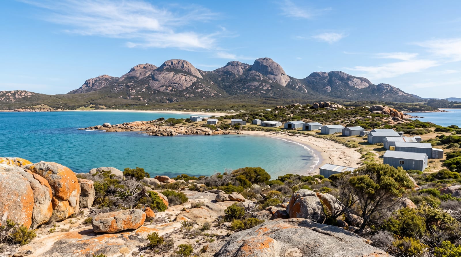
AI illustration
Flinders Island is the largest of the Furneaux Group in Bass Strait, about sixty kilometres long, with granite peaks rising to 756 metres at Mount Strzelecki and beaches that are frequently empty. Killiecrankie Bay is known for topaz, marketed as Killiecrankie diamonds, which visitors sieve from the sand and gravel. The island's history includes the Wybalenna settlement, where surviving Tasmanian Aboriginal people were relocated in the 1830s and where many died; the site is now managed by the Aboriginal community and remains one of the most significant places in Tasmanian Aboriginal history. Walking, fishing, diving on wrecks and simply having a beach to yourself make up the rest.
History
People first reached the island at least 35,000 years ago across the land bridge where Bass Strait now lies, and a population survived until about 4,500 years ago. Tobias Furneaux recorded some of the southern islands of the group in 1773, Matthew Flinders charted them in 1798, calling this one Great Island, and Phillip Parker King later named it after him; sealers came in the late 18th century with Aboriginal women, most of them taken from their mainland peoples. From 1831 the surviving Tasmanian Aboriginal people were exiled here, from 1833 to the Wybalenna establishment at Settlement Point, where about 130 of some 180 people died (Wikipedia, Flinders Island).
What's there
- The empty beaches - long stretches of sand with granite headlands and no one on them.
- Mount Strzelecki - a demanding climb to the island's highest point.
- Killiecrankie - the bay where visitors sieve for topaz in the sand.
- Wybalenna - the site of the 1830s Aboriginal settlement, community managed.
When to go
November to April for the mildest weather; Bass Strait is rough and cold in winter and flights are more often disrupted. Accommodation is limited year-round and should be booked with transport.
Practical notes
Getting there is by small aircraft or a vehicle ferry with a limited timetable, both expensive. There is one small supermarket and few restaurants. A hire car is effectively necessary. Wybalenna is a place of grief and should be visited with care.
Nearby
Cape Barren Island lies south in the same group; Launceston is the mainland link.
Key facts
Source: Wikidata, item Q938581, read on 18 October 2026.
What to pack for Flinders Island
Chosen from what this place is for. Tap a kit for the full checklist.
- Travel rod + reel - A packable multi-piece rod fits in a case and covers most holiday fishing. Find on Amazon
- Reef-safe sunscreen - High SPF that will not bleach the coral you are swimming over. Find on Amazon
- Your own mask + snorkel - A well-fitting mask is the single biggest comfort upgrade underwater. Find on Amazon
- A small tackle selection - Hooks, weights, line and a few lures or flies suited to local waters. Find on Amazon
Some links on this page are Amazon affiliate links - if you buy through them we may earn a small commission at no extra cost to you.
All packing kitsPlan your trip
Where to start if Flinders Island is going on the list.
Booking links on this page are affiliate links - if you book through them we may earn a small commission at no extra cost to you. It never changes what we write about a place.
Opening times, ticket prices and seasonal closures change - check the official source before you go: official site.