Ben Lomond National Park
An alpine plateau reached by a road of six hairpin bends called Jacobs Ladder, holding Tasmania's main ski field.
Updated 18 October 2026
AI illustration
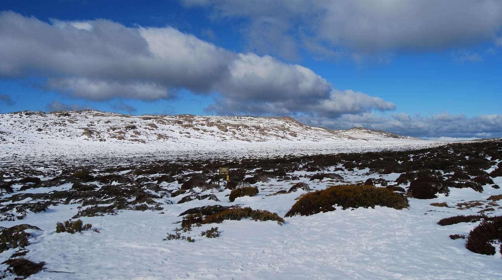
Ben Lomond is a dolerite plateau standing above the midlands northeast of Launceston, reaching 1,572 metres at Legges Tor, the second-highest point in Tasmania. The road onto the plateau climbs Jacobs Ladder, a series of six unsealed hairpin bends cut into the escarpment with a drop on the outside and no barrier, which is the memorable part of any visit. On top sits Tasmania's principal ski field, a small operation with a handful of lifts and an alpine village, running when snow allows from around July. In summer the plateau is open walking country of boulder fields, cushion plants and alpine flowers, with Legges Tor an easy climb from the village.
History
The mountain was the country of the Ben Lomond nation, at least three clans of some 150 to 200 people recorded as the Plangermaireener, Plindermairhemener and Tonenerweenerlarmenne, who moved through their lands with the seasons. In the early 1800s colonial settlement spreading up the South Esk river and its tributaries from Launceston and Norfolk Plains displaced them (Wikipedia, Ben Lomond - Tasmania).
What's there
- Jacobs Ladder - six unsealed hairpin bends climbing the escarpment.
- The ski field - Tasmania's main snowfield with a small alpine village.
- Legges Tor - the second-highest point in the state, easily walked in summer.
- The alpine plateau - boulder fields, cushion plants and summer wildflowers.
When to go
July to September for snow, though Tasmanian seasons are short and unreliable; December to March for walking the plateau. Chains are required in winter and the road closes in bad conditions. Weather changes fast at altitude.
Before you go
Jacobs Ladder is unsealed, narrow and unnerving, and is closed at times in winter. The ski field is small and seasons vary greatly. There is no fuel on the mountain, and facilities are minimal outside the ski season.
Nearby
Launceston lies west; Evandale and the midlands are southwest.
Key facts
Source: Wikidata, item Q816550, read on 18 October 2026.
What to pack for Ben Lomond National Park
Chosen from what this place is for. Tap a kit for the full checklist.
- Broken-in walking shoes or boots - Grip and ankle support matter more than looks; never hike in brand-new boots. Find on Amazon
- Binoculars - The single best wildlife tool - even a compact pair transforms a sighting. Find on Amazon
- Warm base layers - Merino or synthetic against the skin - never cotton, which chills when damp. Find on Amazon
- Layers + a waterproof shell - Mountain weather turns fast; a packable rain jacket saves the day. Find on Amazon
Some links on this page are Amazon affiliate links - if you buy through them we may earn a small commission at no extra cost to you.
All packing kitsPlan your trip
Where to start if Ben Lomond National Park is going on the list.
Booking links on this page are affiliate links - if you book through them we may earn a small commission at no extra cost to you. It never changes what we write about a place.
Opening times, ticket prices and seasonal closures change - check the official source before you go: official site.