Quebrada del Toro
The canyon that carries road and railway from the green valleys of Salta up to the puna, changing colour and vegetation with every hundred metres of height.
Updated 4 September 2026
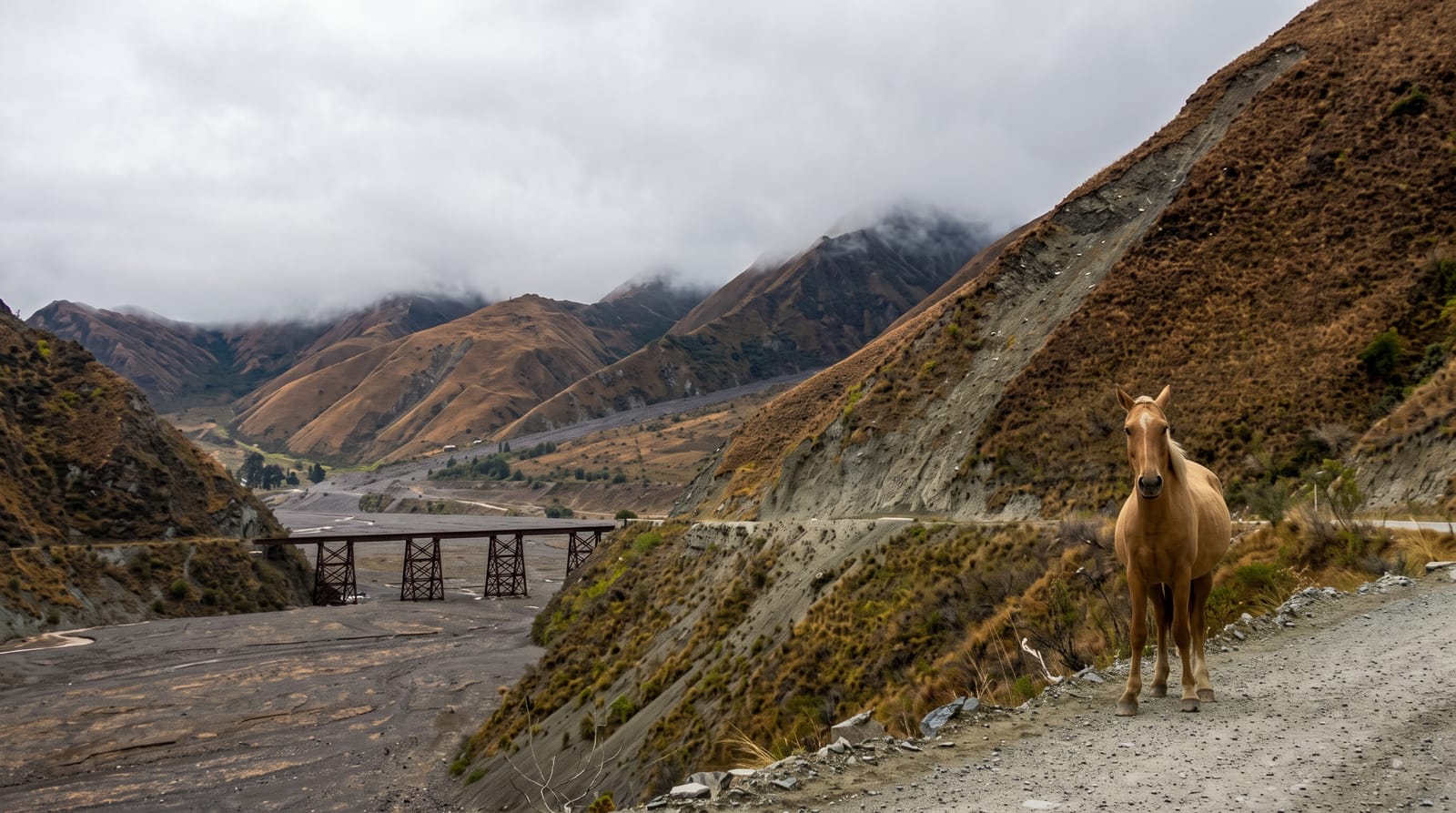
AI illustration
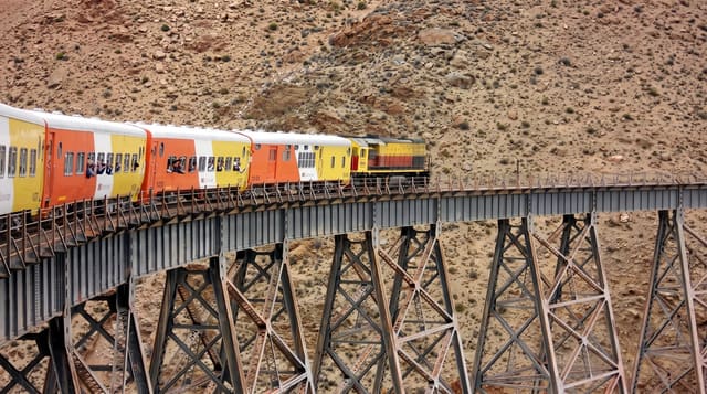
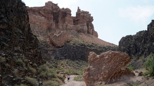
The Quebrada del Toro is the great corridor between the humid Lerma valley around Salta and the high, dry puna, and both the RN51 and the old Salta to Antofagasta railway climb it side by side. Starting among sugar cane and green hills, the canyon narrows into red rock walls, then opens as the road gains height, the vegetation thinning from forest to cactus to bare scree while the river below shrinks to a braid of grey stones. Along the way are the ruins at Santa Rosa de Tastil, the village of Campo Quijano at the entrance, and the extraordinary railway engineering of spirals and zigzags built to gain altitude, visible from the road in several places. It is the route the Train to the Clouds follows, and it can be driven independently.
What you'll find
- The red rock narrows - the tight, colourful section in the lower canyon.
- The railway works - spirals, bridges and zigzags carved into the mountainside.
- The change in vegetation - forest giving way to cactus and then bare puna.
- Santa Rosa de Tastil - the pre-Inca ruins on a hillside along the route.
When to go
April to November, when the river crossings are low and the gravel sections firm; summer storms send flash floods down the canyon and can close the road. Morning light works best driving west. The full climb to San Antonio takes about three hours with stops.
Before you go
Sections are unpaved and rough, with fords that rise quickly in rain, and the altitude gain is steep enough to be felt. There are few services along the route. Driving it independently misses the railway experience, which is only available on the train.
Nearby
Campo Quijano guards the entrance; San Antonio de los Cobres and the puna lie at the top.
Key facts
Source: Wikidata, item Q6094317, read on 18 October 2026.
What to pack for Quebrada del Toro
Chosen from what this place is for. Tap a kit for the full checklist.
- Broken-in walking shoes or boots - Grip and ankle support matter more than looks; never hike in brand-new boots. Find on Amazon
- Strong insect repellent - DEET or picaridin; the jungle is where bites and disease risk are highest. Find on Amazon
- Layers + a waterproof shell - Mountain weather turns fast; a packable rain jacket saves the day. Find on Amazon
- Long, light, quick-dry clothing - Covers skin from insects and sun without cooking you in the humidity. Find on Amazon
Some links on this page are Amazon affiliate links - if you buy through them we may earn a small commission at no extra cost to you.
All packing kitsPlan your trip
Where to start if Quebrada del Toro is going on the list.
Booking links on this page are affiliate links - if you book through them we may earn a small commission at no extra cost to you. It never changes what we write about a place.
Opening times, ticket prices and seasonal closures change - check the official source before you go: official site.