Quebrada de las Flechas
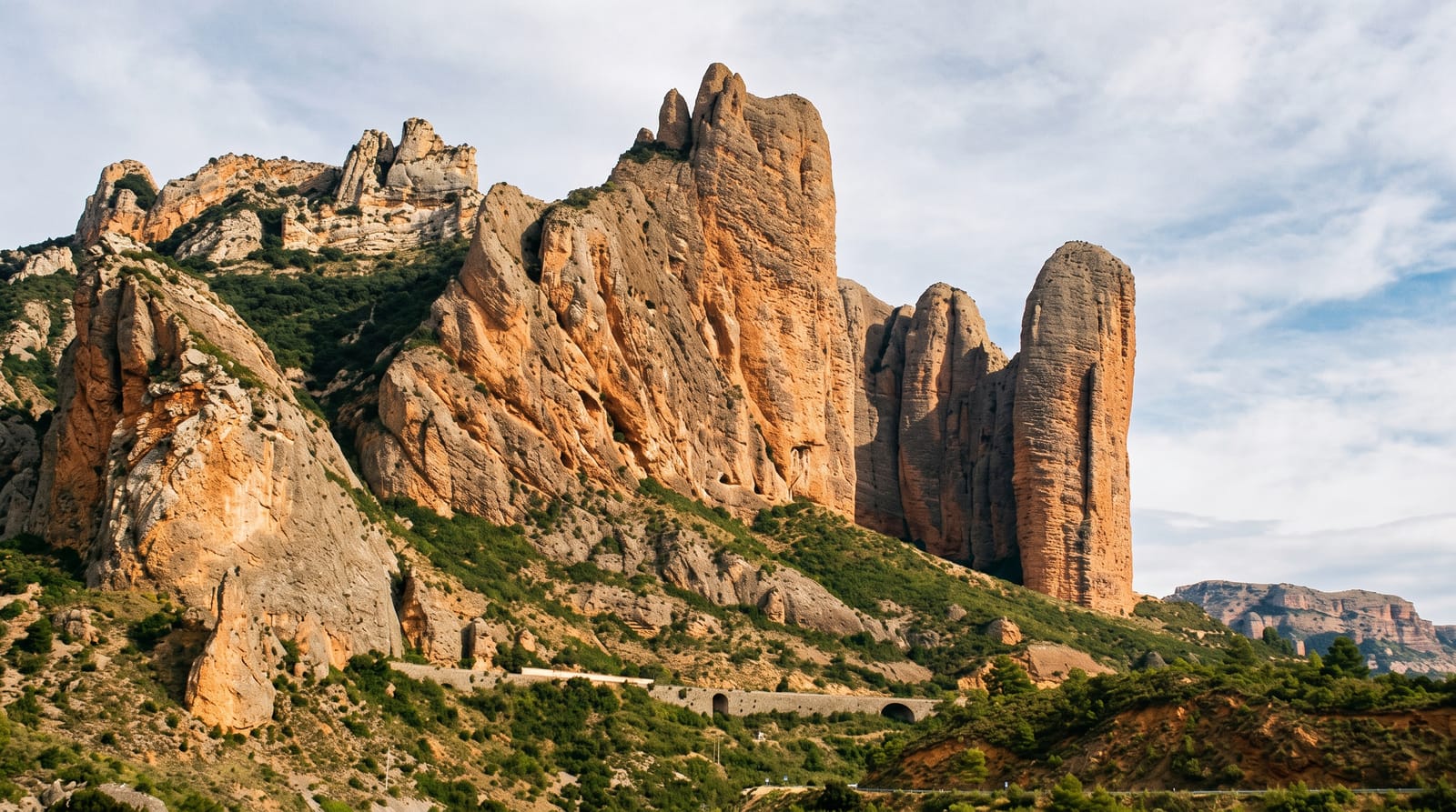
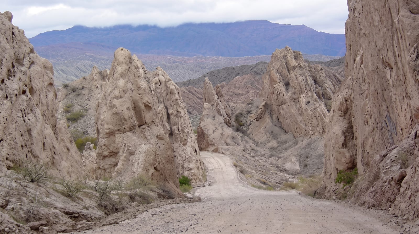
A stretch of the RN40 where the road threads between vast slabs of pale rock tilted on end like arrowheads driven into the valley floor.
Updated 21 October 2026
AI illustration
The Quebrada de las Flechas, the Gorge of the Arrows, is a natural monument along the RN40 in the middle Calchaquí Valleys where layers of pale sandstone and conglomerate have been forced upward and tilted almost vertical, then eroded into blades and points that lean over the road like a field of arrowheads. Driving through it, the gravel road cuts between walls of rock in narrow passes and opens onto viewpoints where the whole formation is visible, chalk-white and grey against the dry hills. The scale is deceptive: what looks like a modest ridge from a distance turns out to stand some twenty metres high at the roadside. Short paths climb to overlooks, and the light late in the day picks out every fin and fracture.
Highlights
- The tilted slabs - pale rock layers standing on end like arrowheads.
- The narrow pass - the road cutting between walls at the heart of the formation.
- The viewpoints - short climbs to overlooks across the whole gorge.
- The RN40 itself - a classic unpaved stretch of Argentina's great north-south road.
When to go
April to November for firm gravel; summer rain turns the surface soft and can flood the low crossings. Late afternoon light is the most dramatic. Traffic is light, so stopping at the roadside is usually easy.
Practical notes
The road is unpaved, corrugated in places and slow, and low cars struggle. There are no services in the gorge, no shade and no water. The formation is compact, so the visit is short unless you walk the viewpoints.
Nearby
Angastaco lies north; San Carlos and Cafayate are south along the RN40.
Key facts
Source: Wikidata, item Q6094286, read on 18 October 2026.
What to pack for Quebrada de las Flechas
Chosen from what this place is for. Tap a kit for the full checklist.
- Broken-in walking shoes or boots - Grip and ankle support matter more than looks; never hike in brand-new boots. Find on Amazon
- Layers + a waterproof shell - Mountain weather turns fast; a packable rain jacket saves the day. Find on Amazon
- Daypack with rain cover - 20-30 litres holds water, snacks, layers and a first-aid kit. Find on Amazon
- Offline maps + a power bank - Download the trail before you lose signal; carry backup charge. Find on Amazon
Some links on this page are Amazon affiliate links - if you buy through them we may earn a small commission at no extra cost to you.
All packing kitsPlan your trip
Where to start if Quebrada de las Flechas is going on the list.
Booking links on this page are affiliate links - if you book through them we may earn a small commission at no extra cost to you. It never changes what we write about a place.
Opening times, ticket prices and seasonal closures change - check the official source before you go: official site.