Sombrero Island
A flat rock island far northwest of Anguilla, once mined for guano, now a lizard refuge.
Updated 16 October 2026
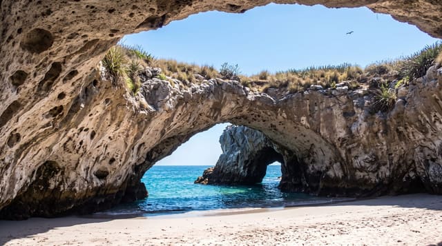
Sombrero lies some fifty kilometres northwest of Anguilla, a flat limestone island a couple of kilometres long that was mined for guano through the nineteenth century, leaving the surface pitted and cut, and it carries a lighthouse and a set of species found nowhere else: the Sombrero ground lizard, a wind scorpion and several others. Seabirds nest on it. Landing needs a permit and is rarely given. The island belongs to Anguilla and is the northernmost point of the entire Lesser Antilles chain.
Background
Also called Hat Island, Sombrero lies 54 km from Anguilla to the north-west, on the far side of the Dog and Prickly Pear Passage. It measures 1.67 kilometres north to south and 0.38 km across, with a land area of 0.38 km2. From the sea it once looked like a sombrero, but guano mining left steep sides and a flat top 12 m above sea level. By 1870 the mine was producing some 3000 tons a year of phosphate, and by 1890 the reserves were exhausted. The first lighthouse was lit on 1 January 1868; the present one dates from 20 July 1962. The Sombrero Island Nature Reserve Marine Park became a Ramsar site on 22 May 2018.
Source: Wikipedia, "Sombrero, Anguilla"
What's there
- The mined surface - ground pitted and cut by nineteenth-century guano digging.
- The endemic lizard - a ground lizard found only on this island.
- The lighthouse - the light standing on the flat rock.
- The seabird colonies - the birds nesting on the island.
When to go
December to April is calmest for the crossing. Landing is restricted year round. Hurricane season runs June to November.
Things to know
Landing requires a permit that is rarely granted and the crossing is fifty kilometres of open water. There is no shelter, water or facility of any kind. Most people never get there.
Nearby
Dog Island is southeast, and Anguilla is southeast beyond it.
Key facts
Source: Wikidata, item Q730092, read on 18 October 2026.
What to pack for Sombrero Island
Chosen from what this place is for. Tap a kit for the full checklist.
- Reef-safe sunscreen - High SPF that will not bleach the coral you are swimming over. Find on Amazon
- Quick-dry towel - A microfibre towel packs small and dries in minutes. Find on Amazon
- Water shoes - Protect your feet on rocky entries, hot sand and sea-urchin spines. Find on Amazon
- Dry bag - Keeps phone, cash and keys safe while you are in the water. Find on Amazon
Some links on this page are Amazon affiliate links - if you buy through them we may earn a small commission at no extra cost to you.
All packing kitsPlan your trip
Where to start if Sombrero Island is going on the list.
Booking links on this page are affiliate links - if you book through them we may earn a small commission at no extra cost to you. It never changes what we write about a place.
Opening times, ticket prices and seasonal closures change - check the official source before you go: official site.