Kherrata Gorges
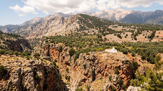
A road cut through a narrow limestone gorge in tunnels and ledges above the Agrioun river.
Updated 31 August 2026
The Agrioun river cuts a narrow gorge through limestone between the Setif high plains and the coast at Bejaia, and in the nineteenth century a road was blasted along it, running on ledges cut into the rock face and through a series of short tunnels with the river far below and walls rising several hundred metres on both sides. It remains one of the more dramatic drives in Algeria and a standard stop on the route between Setif and the coast, with pull-offs where the gorge narrows. A dam sits at the southern end. Barbary macaques appear along the road, and the older road sections have been kept in places as walking viewpoints.
What you'll find
- Road ledges cut into the cliff - the nineteenth-century engineering.
- Short rock tunnels - the sequence of cuts through the walls.
- The river far below - the Agrioun at the base of the gorge.
- Macaques on the roadside - the troops along the route.
When to go
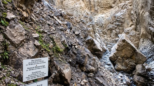
April to October; the gorge is prone to rockfall and closures after heavy rain. Two to three hours as a stop on the drive. Traffic is heavy on this route.
Before you go
It is a working trunk road with lorries and no footway; stopping is only safe at the marked pull-offs. Rockfall closes it periodically. Litter at the viewpoints is heavy. Photographing from the road is genuinely dangerous.
Nearby
Bejaia is north; Setif lies south on the plains.
What to pack for Kherrata Gorges
Chosen from what this place is for. Tap a kit for the full checklist.
- Broken-in walking shoes or boots - Grip and ankle support matter more than looks; never hike in brand-new boots. Find on Amazon
- Layers + a waterproof shell - Mountain weather turns fast; a packable rain jacket saves the day. Find on Amazon
- Daypack with rain cover - 20-30 litres holds water, snacks, layers and a first-aid kit. Find on Amazon
- Offline maps + a power bank - Download the trail before you lose signal; carry backup charge. Find on Amazon
Some links on this page are Amazon affiliate links - if you buy through them we may earn a small commission at no extra cost to you.
All packing kitsPlan your trip
Where to start if Kherrata Gorges is going on the list.
Booking links on this page are affiliate links - if you book through them we may earn a small commission at no extra cost to you. It never changes what we write about a place.
Opening times, ticket prices and seasonal closures change - check the official source before you go: official site.