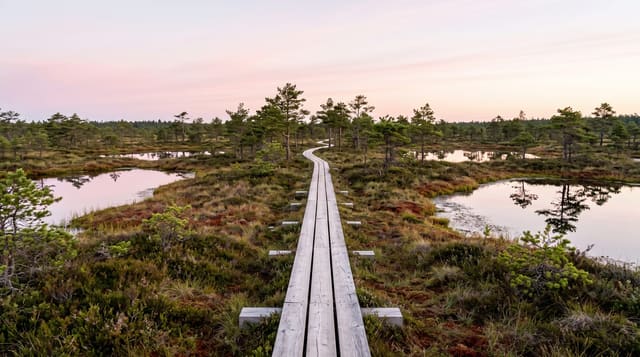
Chu Yang Sin National Park
The highest mountain in Dak Lak inside a park of pine and evergreen forest, with a very long bird list.
Updated 30 August 2026
Chu Yang Sin covers around sixty thousand hectares in southern Dak Lak and rises to 2,442 metres at the peak that names it, the highest point in the province, with the vegetation changing from lowland evergreen through pine to montane forest as it climbs. It is an important bird area with a long list including several Da Lat plateau endemics, and it holds black-shanked douc and gibbons. M'nong and Ede communities live around it. The summit climb is done over two days with park guides. Facilities are minimal, which is normal for the highland parks and is part of why they see so few visitors.
What's there
- Dak Lak's highest point - Chu Yang Sin at 2,442 metres.
- Vegetation changing with height - evergreen through pine to montane.
- A long endemic bird list - shared with the Da Lat plateau.
- A two-day summit climb - with park guides.
When to go
November to April, the dry season. Two days.
Things to know
Guides and park arrangements are required. The climb is long and steep with a camp. Leeches and rain are constant in the wet months. Wildlife sightings need time and luck. Facilities are basic.
Nearby
Lak lake is north-west; Buon Ma Thuot is north.
Key facts
Source: Wikidata, item Q1320437, read on 18 October 2026.
What to pack for Chu Yang Sin National Park
Chosen from what this place is for. Tap a kit for the full checklist.
- Broken-in walking shoes or boots - Grip and ankle support matter more than looks; never hike in brand-new boots. Find on Amazon
- Binoculars - The single best wildlife tool - even a compact pair transforms a sighting. Find on Amazon
- Layers + a waterproof shell - Mountain weather turns fast; a packable rain jacket saves the day. Find on Amazon
- A zoom camera or long lens - Animals rarely come close; reach beats megapixels. Find on Amazon
Some links on this page are Amazon affiliate links - if you buy through them we may earn a small commission at no extra cost to you.
All packing kitsPlan your trip
Where to start if Chu Yang Sin National Park is going on the list.
Booking links on this page are affiliate links - if you book through them we may earn a small commission at no extra cost to you. It never changes what we write about a place.
Opening times, ticket prices and seasonal closures change - check the official source before you go: official site.