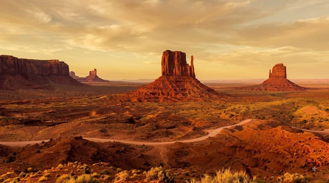
The Wave
A swirled sandstone basin on the Arizona-Utah line where only a few dozen people a day are permitted, allocated by lottery.
Updated 21 October 2026
The formation is Navajo sandstone laid down as dunes around 190 million years ago, lithified and then eroded so that the cross-bedding of the original dunes is exposed as curving coloured bands running through a shallow basin - the effect is of frozen motion. It is fragile, and the Bureau of Land Management restricts access to a small number of people per day for Coyote Buttes North, allocated through advance and daily lotteries that are heavily oversubscribed. There is no trail: successful applicants get a photo map and navigate about five kilometres each way across open desert. In summer heat, losing the route is a real danger. Phones have no coverage there.
What's there
- Exposed dune cross-bedding - curving bands in Navajo sandstone.
- A strictly capped daily quota - allocated by lottery.
- No marked trail - navigation by photo map across open desert.
- Rock about 190 million years old - originally wind-blown dunes.
When to go
March to May and September to November. A full day.
Practical notes
Permits are lottery-only and the odds are poor - most applicants never get one. There is no trail. The access road is unpaved and impassable when wet. No phone coverage.
Nearby
Buckskin Gulch is at the same trailhead; Page and Lake Powell are east.
What to pack for The Wave
Chosen from what this place is for. Tap a kit for the full checklist.
- Broken-in walking shoes or boots - Grip and ankle support matter more than looks; never hike in brand-new boots. Find on Amazon
- Loose, light, long clothing - Covering up beats bare skin in the desert - and locals dress this way for a reason. Find on Amazon
- Layers + a waterproof shell - Mountain weather turns fast; a packable rain jacket saves the day. Find on Amazon
- A wide-brim hat + sunglasses - Shade for your face and eyes where there is none overhead. Find on Amazon
Some links on this page are Amazon affiliate links - if you buy through them we may earn a small commission at no extra cost to you.
All packing kitsPlan your trip
Where to start if The Wave is going on the list.
Booking links on this page are affiliate links - if you book through them we may earn a small commission at no extra cost to you. It never changes what we write about a place.
Opening times, ticket prices and seasonal closures change - check the official source before you go: official site.