Big Sur
California's dramatic edge - ninety miles of Highway 1 where redwoods meet sea cliffs, past Bixby Bridge and the McWay tide-fall.
Updated 20 October 2026
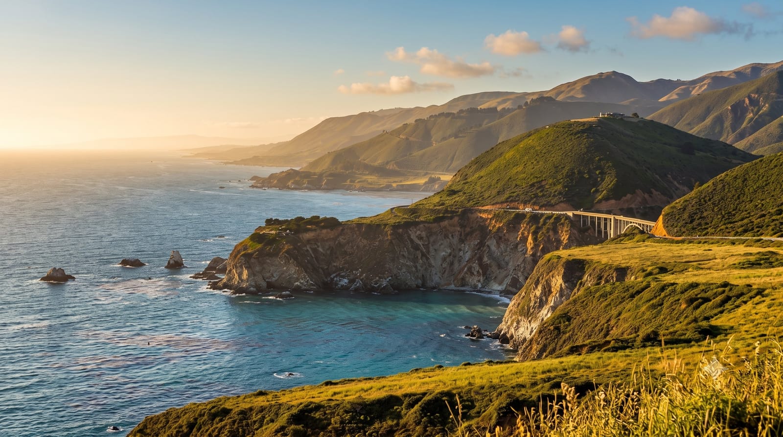
AI illustration
Big Sur is not a town so much as a condition: ninety miles of Highway 1 clinging to the seam where the Santa Lucia Mountains fall into the Pacific, every curve opening another drop of blue water, kelp forest and surf-carved cliff. The landmarks arrive like movements in a suite - Bixby Creek Bridge throwing its 1932 concrete arch across a canyon mouth 260 feet above the creek, Pfeiffer Beach hiding purple-tinted sand and a wave-pierced rock, and McWay Falls performing the coast's signature trick, an 80-foot ribbon dropping straight onto a cove beach no one may walk. Inland, Pfeiffer Big Sur State Park shelters coast redwoods along its river, condors ride the thermals overhead, and the road itself remains the main event - slow, winding and repeatedly voted among the world's great drives for good reason.
Highlights
- Bixby Creek Bridge - the 1932 arch over its canyon, the coast's icon.
- McWay Falls - the 80-ft tide-fall onto its forbidden cove beach.
- Pfeiffer Beach - purple-streaked sand and the wave-pierced keyhole rock.
- The redwood canyons - Pfeiffer Big Sur's groves behind the coast.
When to go
September and October bring the clearest skies and warmest light; summer mornings often sit under a fog bank that burns off by afternoon. Winter is green, stormy and prone to road closures.
Good to know
Check Caltrans before you commit - landslides close sections of Highway 1 with regularity, sometimes for months. Fuel is scarce and expensive, cell coverage vanishes for long stretches, lodging is limited and dear, and summer weekends queue at every pull-out; a midweek day makes a different coast.
Nearby
Carmel-by-the-Sea, Point Lobos and Monterey's Cannery Row.
Key facts
Source: Wikidata, item Q859413, read on 18 October 2026.
What to pack for Big Sur
Chosen from what this place is for. Tap a kit for the full checklist.
- Broken-in walking shoes or boots - Grip and ankle support matter more than looks; never hike in brand-new boots. Find on Amazon
- Quick-dry clothing - Board shorts or synthetics that shrug off spray and dry fast. Find on Amazon
- Spare batteries + cards - Cold and long shoots drain power; never run out at the good light. Find on Amazon
- Layers + a waterproof shell - Mountain weather turns fast; a packable rain jacket saves the day. Find on Amazon
Some links on this page are Amazon affiliate links - if you buy through them we may earn a small commission at no extra cost to you.
All packing kitsPlan your trip
Where to start if Big Sur is going on the list.
Booking links on this page are affiliate links - if you book through them we may earn a small commission at no extra cost to you. It never changes what we write about a place.
Opening times, ticket prices and seasonal closures change - check the official source before you go: official site.