Bodmin Moor
A granite upland of tors, stone circles and abandoned mine workings, crossed by the A30 and largely ignored by the traffic on it.
Updated 4 September 2026
AI illustration
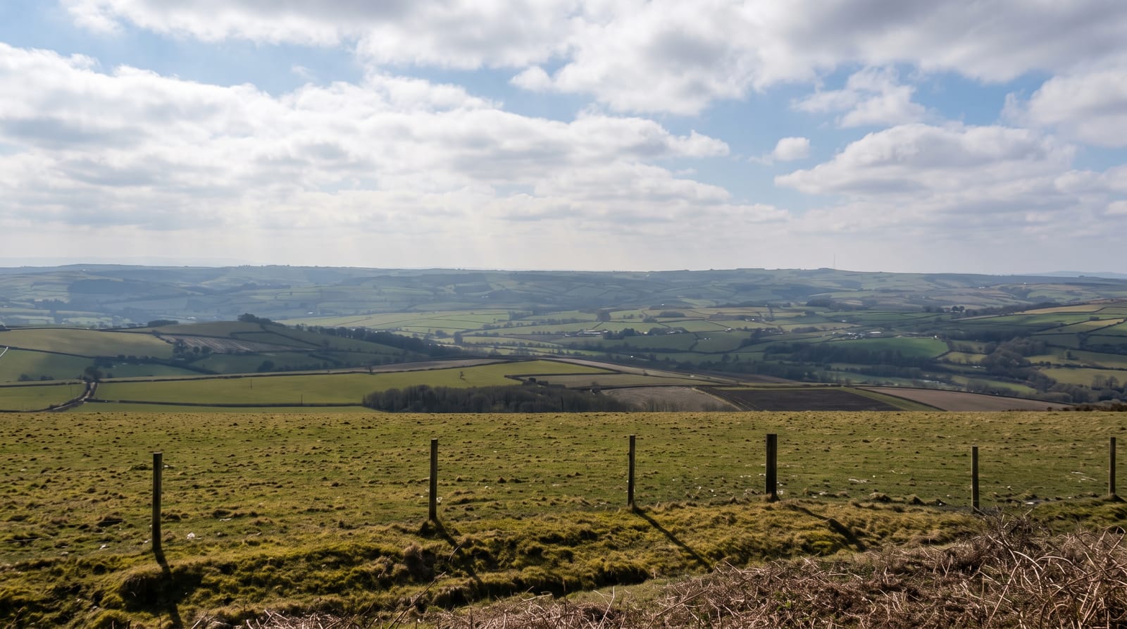
Bodmin Moor is the granite core of Cornwall, about two hundred square kilometres of rough grazing rising to Brown Willy at 420 metres, the county's highest point, and Rough Tor beside it. It is thick with prehistory: the Hurlers, three Bronze Age stone circles in a line at Minions, the Trethevy Quoit dolmen, and hut circles across the slopes. Cheesewring, a stack of naturally weathered granite slabs balanced above a quarry, looks artificial and is not. Jamaica Inn at Bolventor, a coaching inn on the moor road, gave Daphne du Maurier the title and setting of her 1936 novel after she got lost riding there. The Beast of Bodmin, a large cat reported since the 1970s, has never been substantiated by a government investigation or by anyone else.
Highlights
- The Hurlers - three Bronze Age circles aligned at Minions.
- Cheesewring - a naturally balanced granite stack above a quarry.
- Brown Willy and Rough Tor - the two highest points in Cornwall.
- Jamaica Inn - the moor-road coaching inn of du Maurier's novel.
When to go
April to October for walking; the moor is exposed, boggy and prone to sudden fog that makes navigation genuinely difficult. Winter is bleak and the access lanes flood.
Practical notes
Paths are unmarked across much of the moor and fog descends fast, so a map and compass matter. The ground is wet almost everywhere. Jamaica Inn is now a large pub with a museum and coach parking rather than an isolated inn. The Beast is folklore.
Nearby
Bodmin and the Camel Trail lie west; Launceston and the Tamar are east.
Key facts
Source: Wikidata, item Q889885, read on 18 October 2026.
What to pack for Bodmin Moor
Chosen from what this place is for. Tap a kit for the full checklist.
- Broken-in walking shoes or boots - Grip and ankle support matter more than looks; never hike in brand-new boots. Find on Amazon
- Shelter suited to the place - Tent, tarp or hut booking - match it to the terrain and rules. Find on Amazon
- Layers + a waterproof shell - Mountain weather turns fast; a packable rain jacket saves the day. Find on Amazon
- A warm sleeping bag + mat - Rated a little colder than you expect the nights to be. Find on Amazon
Some links on this page are Amazon affiliate links - if you buy through them we may earn a small commission at no extra cost to you.
All packing kitsPlan your trip
Where to start if Bodmin Moor is going on the list.
Booking links on this page are affiliate links - if you book through them we may earn a small commission at no extra cost to you. It never changes what we write about a place.
Opening times, ticket prices and seasonal closures change - check the official source before you go: official site.