Podilski Tovtry
A national park across Podillia built around a fossil barrier reef, a ridge of limestone hills running for hundreds of kilometres.
Updated 16 October 2026
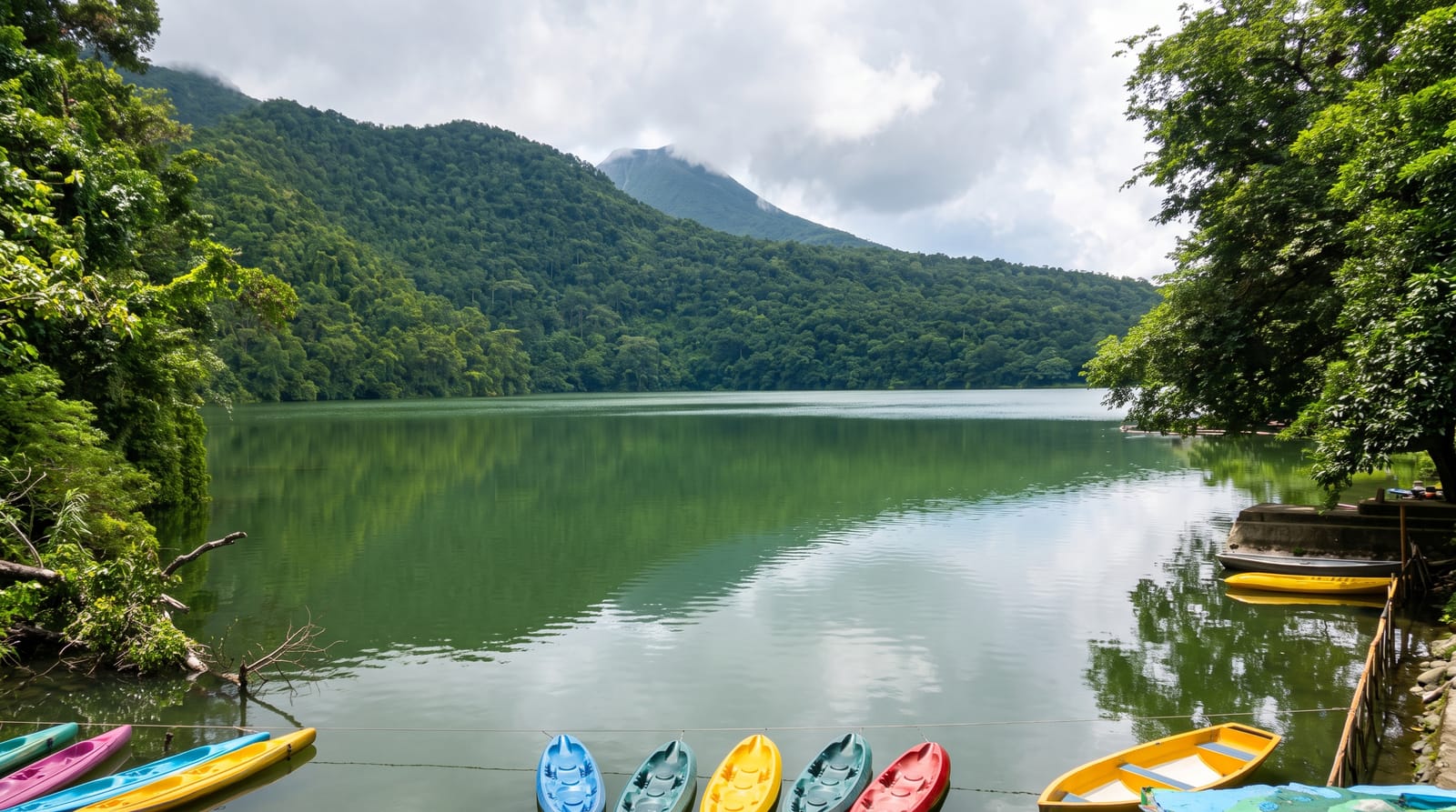
The Tovtry are the remains of a barrier reef that grew in the Miocene sea some fifteen million years ago, now a ridge of limestone hills running diagonally across Podillia for around two hundred and fifty kilometres, harder than the ground around them and left standing as the plain wore down. The national park protects the Ukrainian section, along with the Dniester canyon edge, steppe flora on the limestone, caves and a string of historic towns.
Background
The park was created on July 27, 1996 to protect the natural landscape of Podillia. It spreads across Khmelnytskyi and Kamianets-Podilskyi Raions of Khmelnytskyi Oblast and covers 2,613.16 km2, which makes it the largest nature conservation area in Ukraine. Its records list 1,700 types of flora, 60 of them in the Red Book of Ukraine, and 217 types of fauna, 29 of them also in the Red Book. Within its bounds are 19 archaeological sites and 302 monuments of historical and cultural heritage, 205 of them in Kamianets-Podilskyi, the castle among them. On 32.25 hectares of forest stands the Park of predators Arden, a rehabilitation centre for brown and Himalayan bears, wolves, foxes and birds of prey.
Source: Wikipedia, "Podilski Tovtry National Nature Park"
The landscape
- The fossil reef - a Miocene barrier reef left standing as a chain of limestone hills.
- The steppe flora - dry limestone grassland with species found in few other places.
- The canyon edge - the Dniester valley forming the park's southern boundary.
- The historic towns - Kamianets-Podilskyi and Sataniv inside the park boundary.
When to go
May to October is the season, with the limestone grassland flowering in May and June. Autumn colour along the canyon is good. Winter is bleak on the open ridges.
Good to know
The park is huge and diffuse, with no single entrance or centre; it is a landscape rather than a destination. Marked trails are few. Information is thin outside Kamianets-Podilskyi.
Nearby
Kamianets-Podilskyi is at the centre, and Sataniv is north along the ridge.
Key facts
Source: Wikidata, item Q1964845, read on 18 October 2026.
What to pack for Podilski Tovtry
Chosen from what this place is for. Tap a kit for the full checklist.
- Broken-in walking shoes or boots - Grip and ankle support matter more than looks; never hike in brand-new boots. Find on Amazon
- Head torch + spare batteries - Hands-free light is essential; caves are truly dark. Find on Amazon
- Binoculars - The single best wildlife tool - even a compact pair transforms a sighting. Find on Amazon
- Layers + a waterproof shell - Mountain weather turns fast; a packable rain jacket saves the day. Find on Amazon
Some links on this page are Amazon affiliate links - if you buy through them we may earn a small commission at no extra cost to you.
All packing kitsPlan your trip
Where to start if Podilski Tovtry is going on the list.
Booking links on this page are affiliate links - if you book through them we may earn a small commission at no extra cost to you. It never changes what we write about a place.
Opening times, ticket prices and seasonal closures change - check the official source before you go: official site.