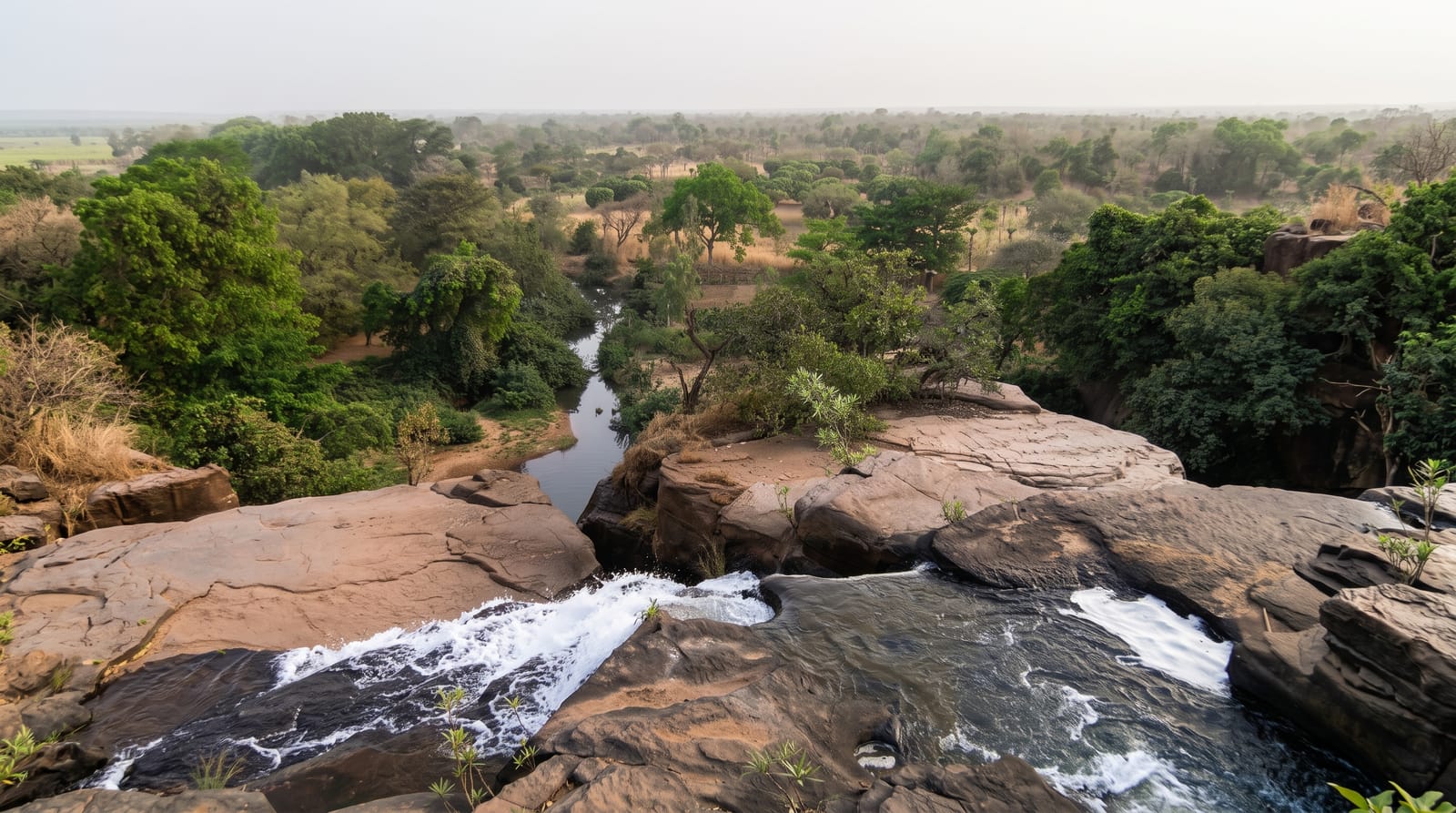
Tortum Waterfall
Turkey's tallest waterfall, below Tortum Lake in the Coruh basin, at full strength only while snowmelt and the hydroelectric plant allow the water through.
Updated 21 October 2026

AI illustration
Tortum Lake formed a few centuries ago when a landslide blocked the valley, and at its lower end the river drops some 48 metres over a fault, the tallest waterfall in Turkey; the lake above is eight kilometres long, a kilometre wide and up to a hundred metres deep, at about a thousand metres. Terraces and a stair let you look at it from the side and from below, close enough to be soaked in spray when the water is high. The setting is bare and severe: red and grey rock walls, thin poplars, the deep Coruh country all around. Since the hydroelectric plant was finished in 1960 the lake's water goes through its tunnels and turbines, and the fall runs only on the surplus - fully for a short time in May and June, when the lake is high, and almost dry for the rest of the year.
What you'll find
- The drop - some 48 metres over a fault, the tallest fall in Turkey.
- The viewing terraces - stairs and platforms beside and below the fall.
- Tortum Lake - the landslide-dammed lake stretching north above it.
- The Coruh country - bare red and grey rock walls around the valley.
When to go
Late spring and early summer, when snowmelt fills the lake, give the fall at its strongest; by late summer it can be down to a trickle. Morning light works better for photographs from the terraces. The road from Erzurum is long, so combine the fall with the Coruh valley rather than driving out and straight back.
What to expect
Outside May and June there is a real chance of arriving to find very little water. The terraces are plain concrete and the site is basic: a car park, a kiosk, not much else. Spray keeps the lower steps slippery. The drive is roughly two hours each way on mountain road, for a stop of about an hour.
Nearby
Tortum Lake, the Uzundere valley and the medieval churches of the Coruh.
Key facts
Source: Wikidata, item Q1337971, read on 18 October 2026.
What to pack for Tortum Waterfall
Chosen from what this place is for. Tap a kit for the full checklist.
- Broken-in walking shoes or boots - Grip and ankle support matter more than looks; never hike in brand-new boots. Find on Amazon
- Layers + a waterproof shell - Mountain weather turns fast; a packable rain jacket saves the day. Find on Amazon
- Daypack with rain cover - 20-30 litres holds water, snacks, layers and a first-aid kit. Find on Amazon
- Offline maps + a power bank - Download the trail before you lose signal; carry backup charge. Find on Amazon
Some links on this page are Amazon affiliate links - if you buy through them we may earn a small commission at no extra cost to you.
All packing kitsPlan your trip
Where to start if Tortum Waterfall is going on the list.
Booking links on this page are affiliate links - if you book through them we may earn a small commission at no extra cost to you. It never changes what we write about a place.
Opening times, ticket prices and seasonal closures change - check the official source before you go: official site.