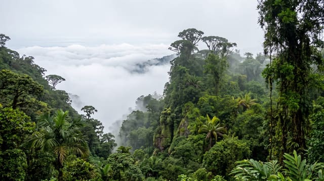
Vadvetjakka National Park
The northernmost national park in Sweden, unbridged and hard to enter, with limestone caves and large bogs.
Updated 21 October 2026
Vadvetjakka lies at the top of Sweden near the Norwegian border, about twenty-six square kilometres of mountain, delta and bog north of Tornetrask, and it is the least accessible park in the country: there are no bridges, no marked trails and no huts, and the Vadvejohka river has to be forded, which is dangerous or impossible in high water. That keeps visitor numbers to a few dozen a year. The park was created in 1920, and the limestone in the massif holds some of the largest karst caves in Sweden, among them the deepest at 155 metres, some of them ice-filled, and the calcareous ground gives a rich flora. Large delta bogs fill the northern shore of the lake and are wet ground to cross.
What you'll find
- The northernmost Swedish park - and the least visited.
- Deep limestone caves - some of them holding ice.
- Large delta bogs - on the northern shore of Tornetrask.
- No bridges or trails - fording is the only way in.
When to go
July to September, in low water. Two to three days.
Good to know
River crossings are genuinely dangerous in high water and the park can be unreachable. There are no facilities, trails or huts. Caves should not be entered without proper equipment and experience. Navigation is entirely on you.
Nearby
Abisko is east; the Norwegian border is west.
Key facts
Source: Wikidata, item Q1754204, read on 18 October 2026.
What to pack for Vadvetjakka National Park
Chosen from what this place is for. Tap a kit for the full checklist.
- Broken-in walking shoes or boots - Grip and ankle support matter more than looks; never hike in brand-new boots. Find on Amazon
- Head torch + spare batteries - Hands-free light is essential; caves are truly dark. Find on Amazon
- Binoculars - The single best wildlife tool - even a compact pair transforms a sighting. Find on Amazon
- Shelter suited to the place - Tent, tarp or hut booking - match it to the terrain and rules. Find on Amazon
Some links on this page are Amazon affiliate links - if you buy through them we may earn a small commission at no extra cost to you.
All packing kitsPlan your trip
Where to start if Vadvetjakka National Park is going on the list.
Booking links on this page are affiliate links - if you book through them we may earn a small commission at no extra cost to you. It never changes what we write about a place.
Opening times, ticket prices and seasonal closures change - check the official source before you go: official site.