Bear Island
An isolated island between Norway and Spitsbergen, with enormous seabird cliffs.
Updated 20 October 2026
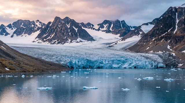
Bjørnøya sits alone in the Barents Sea roughly halfway between the Norwegian mainland and Spitsbergen, a low island with cliffs at its southern end that rise over four hundred metres and hold seabirds in numbers running into the hundreds of thousands: guillemots, kittiwakes and fulmars packed onto every ledge. A meteorological station on the northern shore is the only inhabited place. Barentsz named it in 1596 after a polar bear seen swimming nearby.
What you'll find
- The southern cliffs - walls over four hundred metres carrying vast seabird colonies.
- The guillemot ledges - the packed nesting sites through the breeding season.
- The weather station - the only inhabited point on the island.
- The 1596 naming - the encounter that gave the island its name.
When to go
June to August is the seabird season and the practical window. Fog is very frequent around the island. Landing depends on swell and permission.
Good to know
Fog shrouds the island for much of the summer and ships often see nothing. Landing is controlled and often impossible. There is no scheduled transport of any kind.
Nearby
Spitsbergen is north, and the Norwegian mainland is south.
Key facts
Source: Wikidata, item Q194364, read on 18 October 2026.
What to pack for Bear Island
Chosen from what this place is for. Tap a kit for the full checklist.
- Reef-safe sunscreen - High SPF that will not bleach the coral you are swimming over. Find on Amazon
- Warm base layers - Merino or synthetic against the skin - never cotton, which chills when damp. Find on Amazon
- Quick-dry towel - A microfibre towel packs small and dries in minutes. Find on Amazon
- An insulated + windproof jacket - A down or synthetic layer under a hard shell handles most cold. Find on Amazon
Some links on this page are Amazon affiliate links - if you buy through them we may earn a small commission at no extra cost to you.
All packing kitsPlan your trip
Where to start if Bear Island is going on the list.
Booking links on this page are affiliate links - if you book through them we may earn a small commission at no extra cost to you. It never changes what we write about a place.
Opening times, ticket prices and seasonal closures change - check the official source before you go: official site.