Cares Gorge Trail
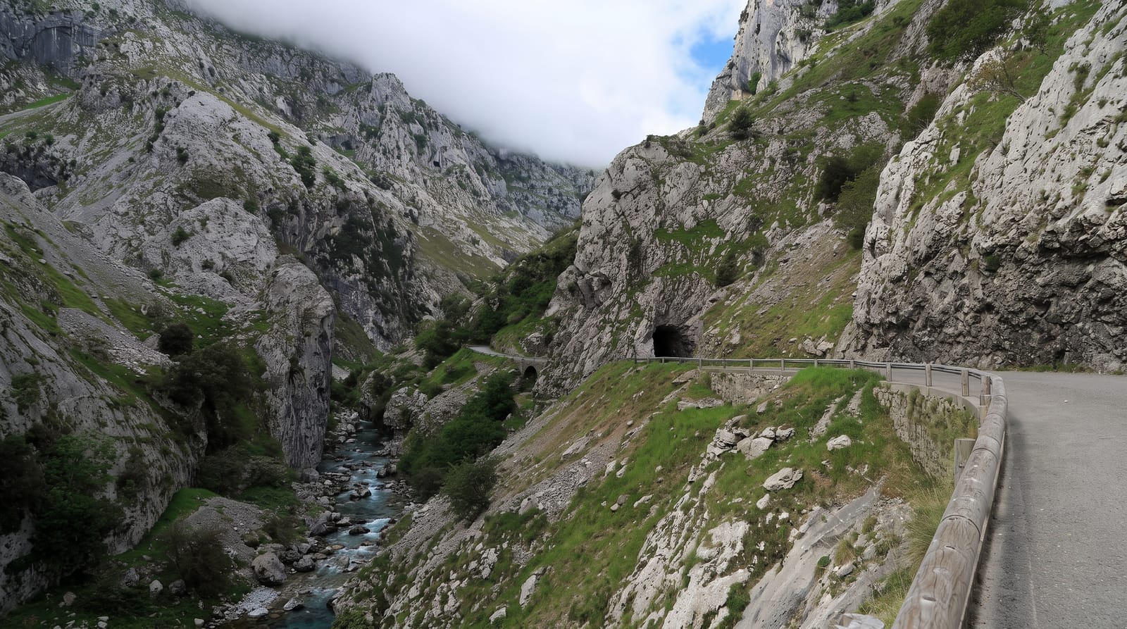
A path cut into the wall of a Picos gorge for a hydroelectric channel, twelve kilometres above a river hundreds of metres below.
Updated 4 September 2026
AI illustration
The Cares river separates the western and central massifs of the Picos de Europa in a gorge up to fifteen hundred metres deep, and between 1916 and 1921 workers cut a channel through it to carry water to a power station, along with a maintenance path blasted into the rock face. That path is now the Ruta del Cares: about twelve kilometres each way between Poncebos and Cain, mostly level but running along a ledge with drops of two hundred metres or more and no railing for long sections, passing through tunnels and over bridges. It is the most walked mountain route in Spain, with several thousand people a day in August, which is part of the experience and not in a good way.
What you'll find
- The cut ledge - a path blasted into the gorge wall for the water channel.
- The tunnels and bridges - crossings and cuttings along the route.
- The gorge depth - walls rising over a thousand metres above the river.
- The water channel - the hydroelectric conduit the path was built to serve.
When to go
May to October; the route is walkable year-round but ice and rockfall make winter dangerous. Early morning avoids both heat and the worst of the crowds, which in August are severe.
Things to know
It is a there-and-back walk of twenty-four kilometres if done in full, and there is no transport between the two ends without a long drive around. There are unfenced drops throughout and rockfall is a real hazard. Goats have learned to take food from bags.
Nearby
Poncebos and the Bulnes funicular are at the northern end; Cain and Posada de Valdeon are south.
What to pack for Cares Gorge Trail
Chosen from what this place is for. Tap a kit for the full checklist.
- Broken-in walking shoes or boots - Grip and ankle support matter more than looks; never hike in brand-new boots. Find on Amazon
- Layers + a waterproof shell - Mountain weather turns fast; a packable rain jacket saves the day. Find on Amazon
- Daypack with rain cover - 20-30 litres holds water, snacks, layers and a first-aid kit. Find on Amazon
- Offline maps + a power bank - Download the trail before you lose signal; carry backup charge. Find on Amazon
Some links on this page are Amazon affiliate links - if you buy through them we may earn a small commission at no extra cost to you.
All packing kitsPlan your trip
Where to start if Cares Gorge Trail is going on the list.
Booking links on this page are affiliate links - if you book through them we may earn a small commission at no extra cost to you. It never changes what we write about a place.
Opening times, ticket prices and seasonal closures change - check the official source before you go: official site.


