Aneto and Benasque Valley
The highest peak in the Pyrenees at 3,404 metres and the valley beneath it, holding the range's largest remaining glacier.
Updated 21 October 2026

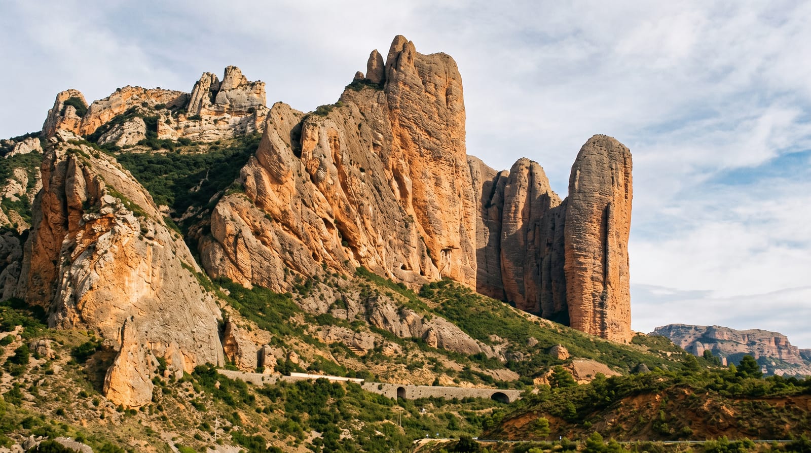
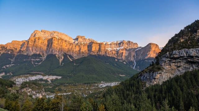
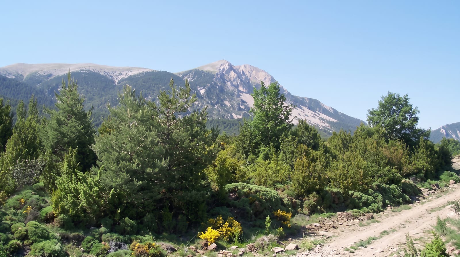
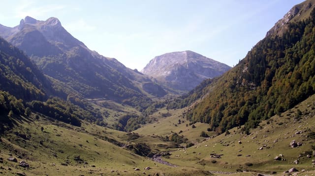
AI illustration
Aneto reaches 3,404 metres at the head of the Benasque valley, the highest point in the Pyrenees, and it carries the range's largest glacier on its northern flank, though the Aneto glacier has lost most of its extent since the nineteenth century and is projected to disappear within decades. The normal route to the summit crosses the glacier and finishes at the Paso de Mahoma, a short exposed rock ridge with severe drops on both sides that is the crux and where most accidents occur; a guide is standard for anyone without alpine experience. The valley below holds Benasque, a stone town, the Renclusa refuge, the Posets-Maladeta natural park with several other three-thousand-metre peaks, and the Cerler ski area.
The landscape
- Aneto - the Pyrenees' highest summit at 3,404 metres.
- The retreating glacier - the range's largest ice, shrinking rapidly.
- The Paso de Mahoma - an exposed ridge crossing near the summit.
- The Benasque valley - stone villages and three-thousand-metre peaks.
When to go
July to September for the ascent, when the glacier is at its most stable and the refuges staffed; December to April for skiing at Cerler. Conditions on the glacier vary and crevasse risk has increased as it thins.
Practical notes
Aneto is a glacier climb requiring crampons, ice axe, rope and the skills to use them, and the Paso de Mahoma is exposed and serious. Guides are strongly advised. The Renclusa refuge books out in summer. Weather changes fast at this altitude.
Nearby
Posets-Maladeta park surrounds the valley; the French border and Luchon lie north.
What to pack for Aneto and Benasque Valley
Chosen from what this place is for. Tap a kit for the full checklist.
- Broken-in walking shoes or boots - Grip and ankle support matter more than looks; never hike in brand-new boots. Find on Amazon
- Warm base layers - Merino or synthetic against the skin - never cotton, which chills when damp. Find on Amazon
- Layers for big temperature swings - Warm sun by day, near-freezing at night, even near the equator. Find on Amazon
- Layers + a waterproof shell - Mountain weather turns fast; a packable rain jacket saves the day. Find on Amazon
Some links on this page are Amazon affiliate links - if you buy through them we may earn a small commission at no extra cost to you.
All packing kitsPlan your trip
Where to start if Aneto and Benasque Valley is going on the list.
Booking links on this page are affiliate links - if you book through them we may earn a small commission at no extra cost to you. It never changes what we write about a place.
Opening times, ticket prices and seasonal closures change - check the official source before you go: official site.