Keurbooms River
A forest-walled river running down to a lagoon, paddled upstream to an overnight hut with no road to it.
Updated 21 October 2026
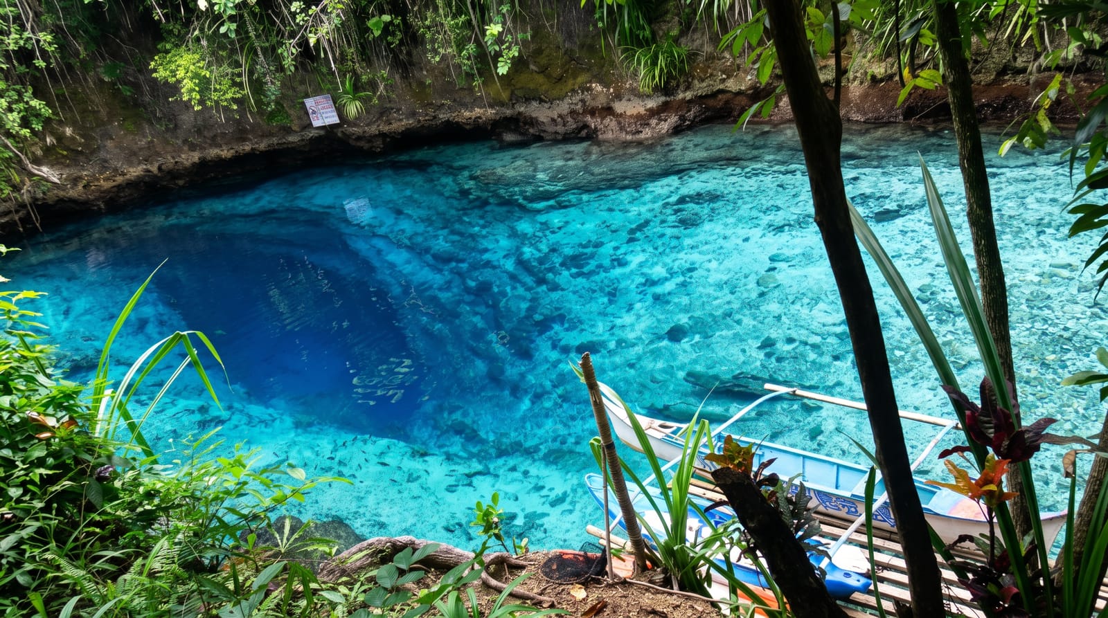
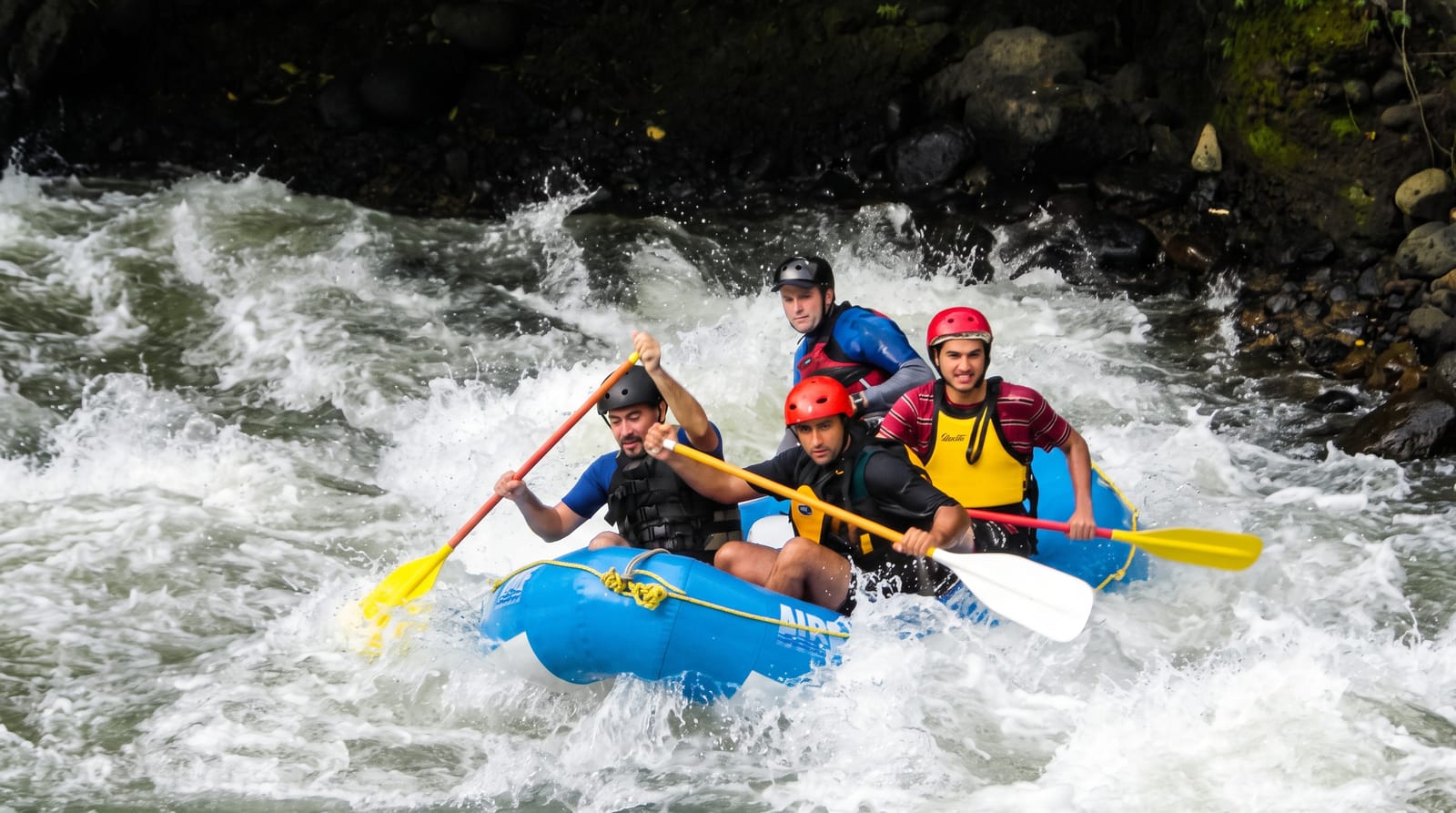
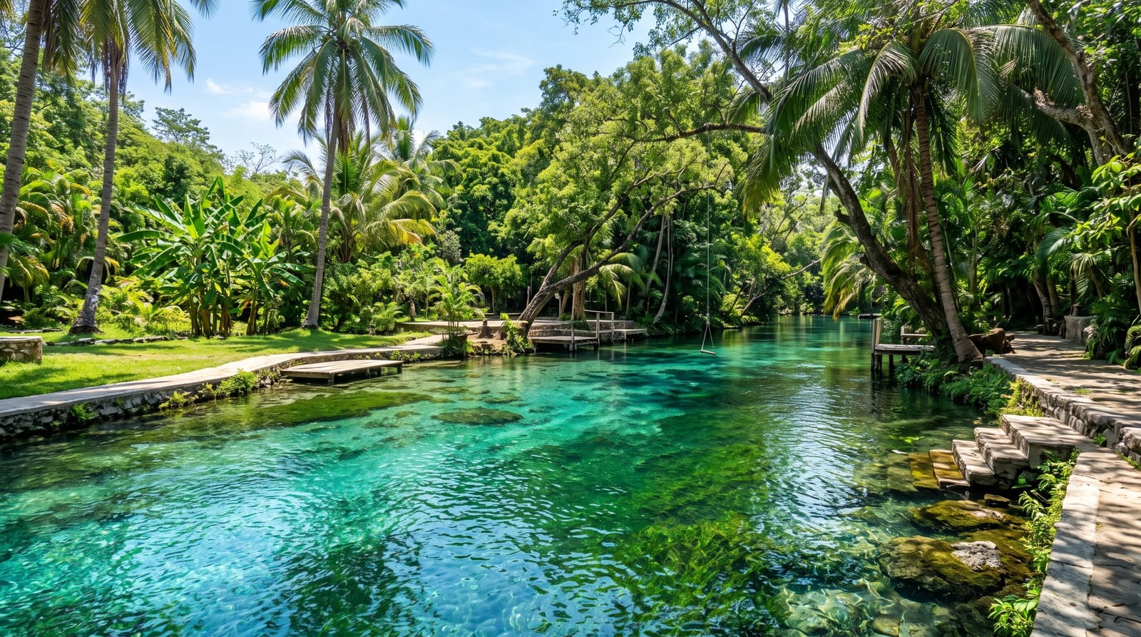
The Keurbooms, about 85 kilometres long, comes down from its sources in the Langkloof south of Uniondale through a gorge of indigenous forest and opens into a lagoon behind the beach at Plettenberg Bay. The lower river is a nature reserve, and the way to use it is by water: canoes from the mouth take you upstream between steep forested banks, past sandstone cliffs, into water that becomes fresh and still as you leave the tidal reach. About seven kilometres up there is a hut with bunks that can only be reached by boat, which makes for an easy overnight with everything paddled in. A ferry runs the same stretch for people who would rather be driven. Keurbooms are the tree the river is named for, flowering pink in spring along the banks. The lagoon end is busy with holiday boats in season, while the upper river stays quiet.
The landscape
- The forest gorge - steep indigenous banks and sandstone cliffs above the water.
- The boat-in hut - overnight bunks about seven kilometres up, reachable only by paddle.
- The tidal change - salt lagoon giving way to still fresh water upstream.
- The keurboom trees - pink flowering along the banks in spring.
When to go
October to April. A day for a paddle, or overnight at the hut. Mornings are calmest.
Things to know
Paddling upstream against current and afternoon wind is real work. The hut books out in season and everything must be carried by boat. The lagoon end is crowded with motorboats over the holidays. River levels change after mountain rain.
Nearby
Plettenberg Bay and Robberg are south-west; Nature's Valley is east.
Key facts
Source: Wikidata, item Q6395627, read on 18 October 2026.
What to pack for Keurbooms River
Chosen from what this place is for. Tap a kit for the full checklist.
- Broken-in walking shoes or boots - Grip and ankle support matter more than looks; never hike in brand-new boots. Find on Amazon
- Reef-safe sunscreen - High SPF that will not bleach the coral you are swimming over. Find on Amazon
- Quick-dry clothing - Board shorts or synthetics that shrug off spray and dry fast. Find on Amazon
- Shelter suited to the place - Tent, tarp or hut booking - match it to the terrain and rules. Find on Amazon
Some links on this page are Amazon affiliate links - if you buy through them we may earn a small commission at no extra cost to you.
All packing kitsPlan your trip
Where to start if Keurbooms River is going on the list.
Booking links on this page are affiliate links - if you book through them we may earn a small commission at no extra cost to you. It never changes what we write about a place.
Opening times, ticket prices and seasonal closures change - check the official source before you go: official site.