Lake Turgoyak
A clear granite-basin lake in the Southern Urals with an island holding megalithic structures excavated since 2004.
Updated 21 October 2026
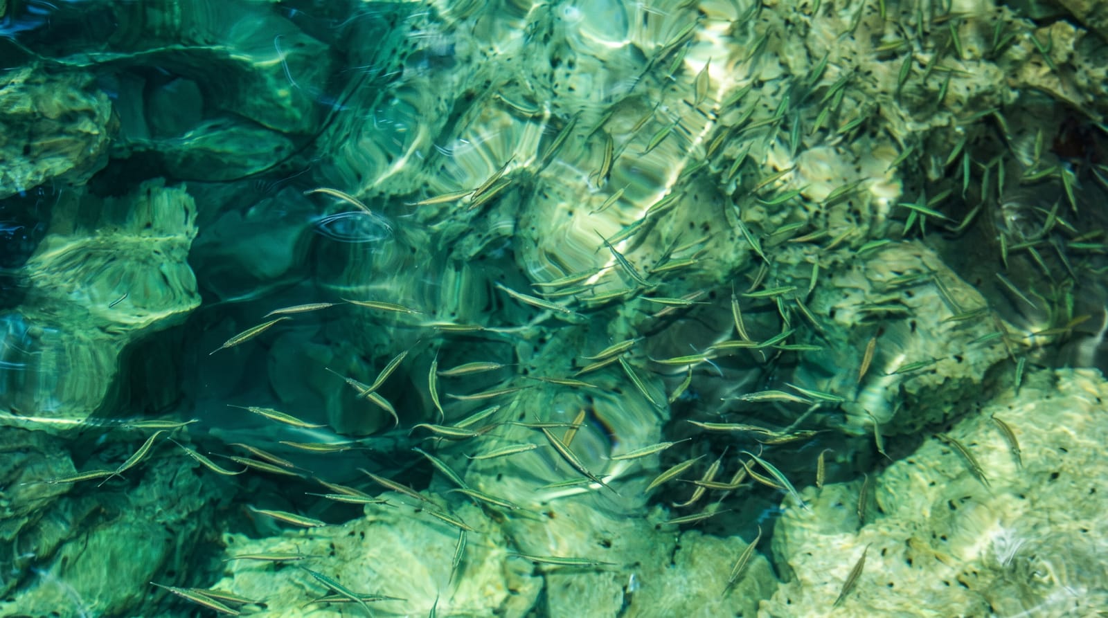
Turgoyak lies in a granite basin between the Ilmensky and Urals ridges near Miass, about twenty-six square kilometres, fed mostly by springs and unusually clear - visibility in the water reaches ten metres or more in good conditions, which is why it is regularly called the little Baikal of the Urals and is listed as a valuable water body. The shores are granite and pine. On Vera island, excavated systematically since 2004, are megalithic structures: chambered constructions of large stone slabs partly cut into the bedrock, the largest around eighteen metres long, dated to the Chalcolithic around five to six thousand years ago, along with later remains from an Old Believer hermitage that gave the island its name. What the megaliths were for is not settled. Boats run to the island in season. The lake is heavily built up on parts of its shore with holiday bases.
The landscape
- The clarity - spring-fed water with visibility of ten metres or more.
- Vera island - Chalcolithic megalithic chambers, the largest around eighteen metres.
- The hermitage remains - later Old Believer structures on the same island.
- The granite shores - rock and pine around a basin between two ridges.
When to go
June to September for boats and swimming, though the water stays cold; winter for ice. A day or an overnight. Book island trips in season.
Before you go
Water is cold even in August. Shore development is heavy in places and access to some stretches is through paid bases. Boats to Vera island run seasonally and depend on weather. The purpose of the megaliths is genuinely unknown, whatever guides assert.
Nearby
Miass and the Ilmensky reserve are close; Zlatoust and Taganay are west.
Key facts
Source: Wikidata, item Q2385400, read on 18 October 2026.
What to pack for Lake Turgoyak
Chosen from what this place is for. Tap a kit for the full checklist.
- Reef-safe sunscreen - High SPF that will not bleach the coral you are swimming over. Find on Amazon
- Shelter suited to the place - Tent, tarp or hut booking - match it to the terrain and rules. Find on Amazon
- Quick-dry towel - A microfibre towel packs small and dries in minutes. Find on Amazon
- A warm sleeping bag + mat - Rated a little colder than you expect the nights to be. Find on Amazon
Some links on this page are Amazon affiliate links - if you buy through them we may earn a small commission at no extra cost to you.
All packing kitsPlan your trip
Where to start if Lake Turgoyak is going on the list.
Booking links on this page are affiliate links - if you book through them we may earn a small commission at no extra cost to you. It never changes what we write about a place.
Opening times, ticket prices and seasonal closures change - check the official source before you go: official site.