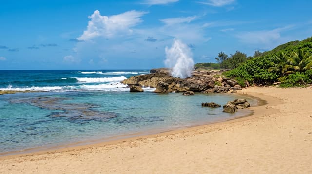
Bosque de Guajataca
Karst forest above a reservoir in the northwest, with a cave you walk through and an old railway tunnel cut to the sea.
Updated 22 October 2026
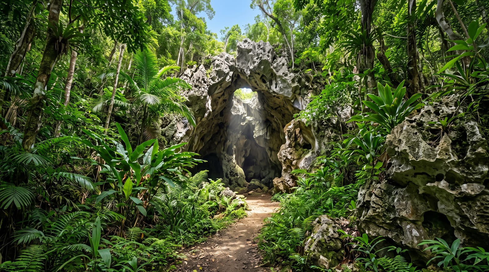
AI illustration
Guajataca protects a stretch of the northern karst where the limestone has been eaten into sinkholes, ridges and caves, and around forty kilometres of trails run through it, the best known ending at Cueva del Viento, a chamber with a chimney of light where the trail passes right through the rock. The forest is dense and the mogote hills make the walking steeper than the map suggests. Below, the Guajataca reservoir sits in a drowned valley. On the coast a few minutes away, the Tunel de Guajataca is a short railway tunnel from the early twentieth century cut through the headland, now a walk from a small beach with a view along the cliffs.
History
The Puerto Rico Reconstruction Administration set the area aside in 1943 to preserve the plants and animals of the karst, the 1975 forest law gave it further protection, and it is now run by the Department of Natural and Environmental Resources (Wikipedia, Guajataca State Forest).
What's there
- Cueva del Viento - a cave chamber the trail passes through.
- The karst trails - around forty kilometres through sinkholes and ridges.
- Guajataca reservoir - the drowned valley below the forest.
- The old railway tunnel - cut through the coastal headland nearby.
When to go
December to April is drier and the trails less slippery; limestone here is treacherous when wet. Take a torch for the cave. The forest office keeps limited hours and trail markings have deteriorated, so download a map before going.
Before you go
Trail signage is poor and several routes are overgrown or unmaintained since the hurricanes, so it is easy to get turned around; go with a map and tell someone your plan. The cave needs a torch and has an awkward scramble. There is no water or facility once you leave the entrance.
Nearby
Isabela's beaches are ten minutes; the Camuy caves are east.
Key facts
Source: Wikidata, item Q49329977, read on 18 October 2026.
What to pack for Bosque de Guajataca
Chosen from what this place is for. Tap a kit for the full checklist.
- Broken-in walking shoes or boots - Grip and ankle support matter more than looks; never hike in brand-new boots. Find on Amazon
- Reef-safe sunscreen - High SPF that will not bleach the coral you are swimming over. Find on Amazon
- Head torch + spare batteries - Hands-free light is essential; caves are truly dark. Find on Amazon
- Layers + a waterproof shell - Mountain weather turns fast; a packable rain jacket saves the day. Find on Amazon
Some links on this page are Amazon affiliate links - if you buy through them we may earn a small commission at no extra cost to you.
All packing kitsPlan your trip
Where to start if Bosque de Guajataca is going on the list.
Booking links on this page are affiliate links - if you book through them we may earn a small commission at no extra cost to you. It never changes what we write about a place.
Opening times, ticket prices and seasonal closures change - check the official source before you go: official site.